
Earthquakes

CITE
We have made every effort to follow citation style rules, but there may be some minor differences. If in doubt, please refer to the appropriate citation style manual.
San Andreas Fault. (2026). In Q-files Encyclopedia, Earth, Earthquakes. Retrieved from
https://www.q-files.com/earth/earthquakes/san-andreas-fault
"San Andreas Fault." Earth, Earthquakes, Q-files Encyclopedia, 6 Mar. 2026.
https://www.q-files.com/earth/earthquakes/san-andreas-fault.
Accessed 6 Aug. 2026.
San Andreas Fault 2026. Earth, Earthquakes. Retrieved 6 August 2026, from
https://www.q-files.com/earth/earthquakes/san-andreas-fault
Earth, Earthquakes, s.v. "San Andreas Fault," accessed August 6, 2026.
https://www.q-files.com/earth/earthquakes/san-andreas-fault


San Andreas Fault
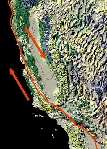
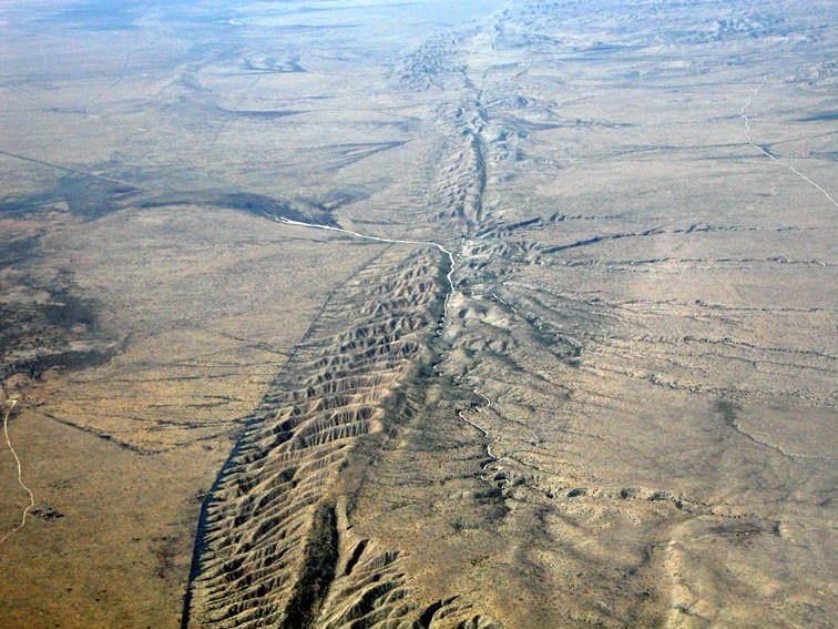
The San Andreas Fault stretches more than 1200 kilometres (750 miles) along the coast of California. It forms the boundary between two plates, the Pacific plate and the North American plate, that are sliding past one another in opposite directions. The jerky movements result in constant, tiny shocks. Occasionally, pressure builds up over the years and is released in a massive quake, such as the 1906 event in San Francisco. Pressure on the fault has once again built up to a level sufficient for an earthquake of magnitude 7.0 or greater to occur: the "Big One", as it is commonly known. The southern stretch of the San Andreas Fault has not experienced an earthquake for 300 years. The areas at risk are densely populated: they include Los Angeles, San Bernardino and San Diego.
San Francisco, 1906
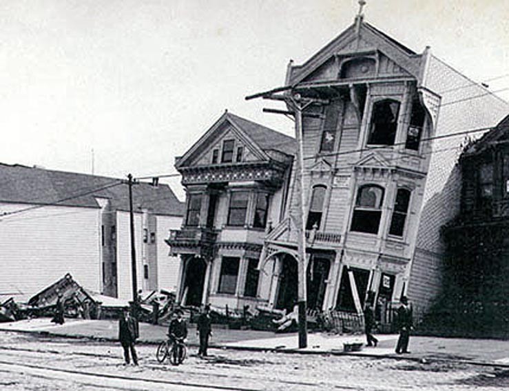
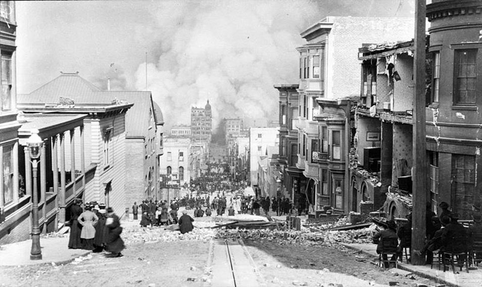
In April 1906 a major earthquake struck San Francisco, California, and the coast of Northern California. The magnitude of the earthquake was thought to be 7.9. The main epicentre was about 3 kilometres (2 miles) offshore. It was caused by a sudden movement on the San Andreas Fault. The land either side of the fault shifted at the surface by about 6 metres (20 feet). Shaking was felt from Oregon in the north to Los Angeles in the south. The death toll from the earthquake and resulting fire, was estimated to be at least 3000 people.
The strongest shaking occurred in those areas of San Francisco where land for building had been reclaimed from the sea using landfill. As shock waves passed through the moist gravels, they became almost like a liquid, a process called liquefaction. This caused the collapse of buildings constructed on top of the gravels.

Consultant: Ian Fairchild
pics

Without in any way limiting Q-files Ltd’s exclusive rights under copyright, any use of this publication to “train” generative artificial intelligence (AI) technologies to generate text is expressly prohibited. Q-files Ltd reserves all rights to license use of this work for generative AI training and development of machine learning language models.