
Weather and climate
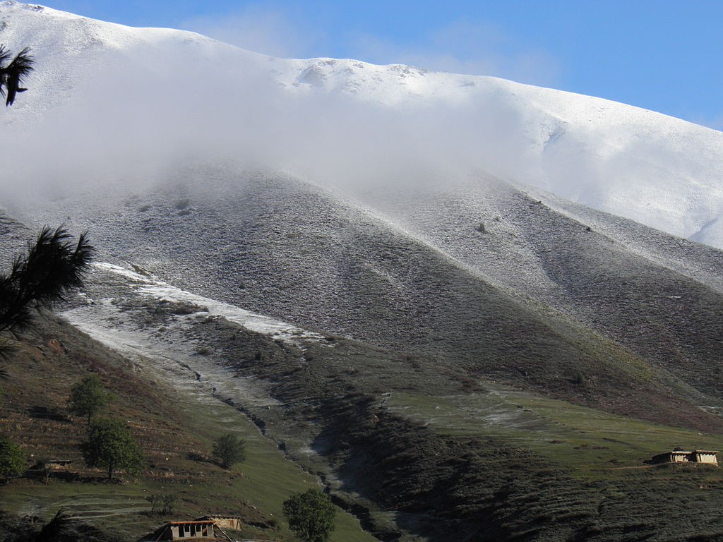
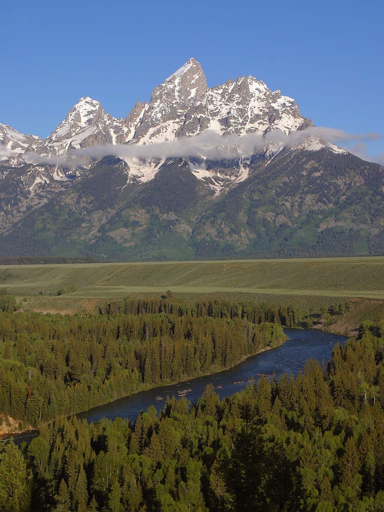
Why is it cold at the top of mountains?
You might think that the higher up you are, the nearer the sun you are—which means that the air ought to be slightly warmer. However, being a few hundred metres closer to the sun makes no difference, given that the sun’s rays have already had to travel 150 million kilometres (93 million miles) before reaching Earth. Temperatures are, in any case, normally lower at high altitudes, so what is causing them to be so? It is to do with atmospheric pressure: the higher up you are, the lower the pressure. This is because the column of air above you—which goes all the way up to the top of the atmosphere—is shorter as you go higher and higher. At sea level, the pressure is around 1013 millibars (14.7 pounds per square inch). At 1500 metres (5000 feet), it averages around 840 millibars (12.2 pounds per square inch).
Pressure and temperature
For gases such as air, which is a mixture of mostly nitrogen and oxygen, pressure has a marked effect on their temperature. If you compress air, e.g. when pumping up a bicycle tyre, the air molecules are forced together, causing multiple collisions, which create heat energy. The air (and the pump) becomes warm.
When the air molecules are subjected to less pressure—at higher altitudes—they spread out. As a result, they don't collide with each other as much as they do where the pressure is greater—at low altitudes. Fewer collisions between air molecules mean less energy being given off, so the air is cooler.
Lapse rate
The rate at which air temperature drops as you go higher is called the lapse rate. For dry air, it is typically slightly less than 10°C per 1000 metres (5.4°F per 1000 feet) of altitude. However, this does vary according to the humidity—the amount of moisture in the air. As air cools, it eventually becomes saturated: it cannot hold the same quantity of water vapour that it could at warmer temperatures. At a certain temperature (called the dew point) the water vapour starts to condense, forming clouds. This process releases heat, which lowers the lapse rate to around 5.5°C per 1000 metres (3°F per 1000 feet).
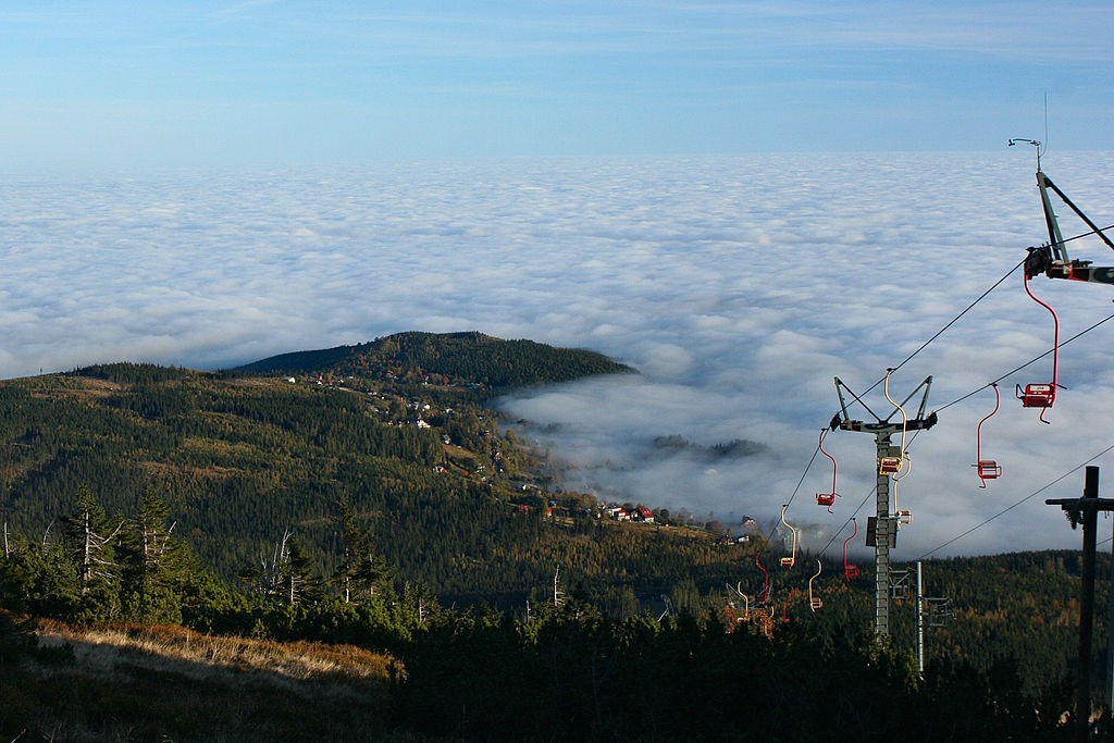
Sometimes the lapse rate is reversed: it is warmer at higher altitudes than lower altitudes. This happens when cold air sinks below warm air, typically in a valley. This is called a temperature inversion. If the cooler air is quite humid—it contains a lot of moisture—fog may form close to the ground, while the mass of warmer air above it remains clear.
Consultant: Ian Fairchild
Other Q-&-As to explore:
For a full list of all our Q&As, please click here.
If you have a question that you would like to see answered on Q-files, please send us an email to info@Q-files.com or use the contact us page.