
Geography of the US

CITE
We have made every effort to follow citation style rules, but there may be some minor differences. If in doubt, please refer to the appropriate citation style manual.
Geography of Alaska. (2026). In Q-files Encyclopedia, Geography, Geography of the US. Retrieved from
https://www.q-files.com/geography/geography-of-the-us/geography-of-alaska
"Geography of Alaska." Geography, Geography of the US, Q-files Encyclopedia, 19 Aug. 2026.
https://www.q-files.com/geography/geography-of-the-us/geography-of-alaska.
Accessed 20 Aug. 2026.
Geography of Alaska 2026. Geography, Geography of the US. Retrieved 20 August 2026, from
https://www.q-files.com/geography/geography-of-the-us/geography-of-alaska
Geography, Geography of the US, s.v. "Geography of Alaska," accessed August 20, 2026.
https://www.q-files.com/geography/geography-of-the-us/geography-of-alaska


Geography of Alaska
Located in the northwest corner of North America and geographically separated from the contiguous United States, Alaska shares an eastern border with Canada. The state can be broadly divided into five main geographical regions. The Pacific mountains includes the Alaska Range and the fjords and islands of the southeastern Panhandle. North of the Alaska Range is a plateau consisting of rolling hills and the flat Yukon River Basin. To the north rises the Brooks Range and, beyond that, the North Slope, a flat coastal plain that slopes down to the Arctic Ocean. Stretching away in the southwest of the Alaska are the Aleutian Peninsula and Islands, a volcanic arc that forms part of the Pacific Ring of Fire.
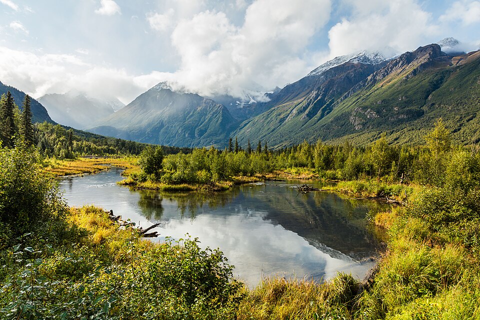

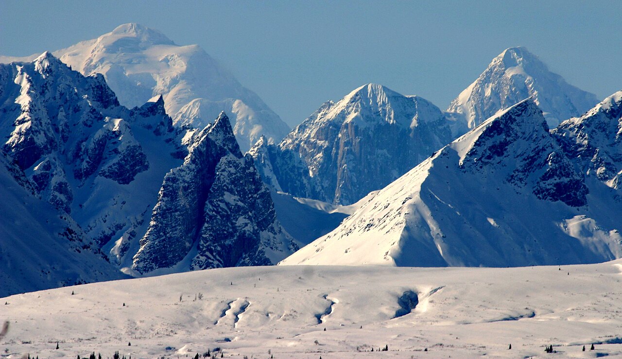
Alaska Range
The Alaska Range curves through the south-central region of Alaska. It includes Denali (formerly Mount McKinley), at 6190 metres (20,310 feet) the highest peak in North America. Along with other ranges in southern Alaska, it is made up of pieces of crust, known as terranes, pushed together over the past 100 million years by the Pacific plate as it moved towards the North American continental plate. When the continents collided, the terranes piled up on top of each another, pushing the land upwards.
During the Pleistocene Ice Ages, an ice sheet ground slowly across the Alaska Range, carving deep, U-shaped valleys. When the ice melted and sea levels rose, ocean waters flooded these deep valleys, creating the fjords and islands, the Alexander Archipelago, of the southeastern Alaska Panhandle.

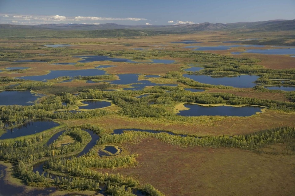
Interior
Between the Alaska Range to the south and the Brooks Range to the north are the rolling hills and low-lying plains of Alaska's Interior. Over millions of years, rivers have filled the depressions between the ranges with eroded sediments carried down from the mountains. In this way, flat plains, such as the Yukon River Basin, were created.
Brooks Range
The Brooks Range in northern Alaska can be considered a sub-range of the Rocky Mountains. It consists of limestone formed from an ancient sea bed, and was created earlier than the Alaska Range, around 145 million years ago. The mountains built up as a result of colliding tectonic plates. During the Ice Ages, northern Alaska remained largely ice-free (the mountains blocked incoming moist air), with only mountain glaciers at higher elevations.
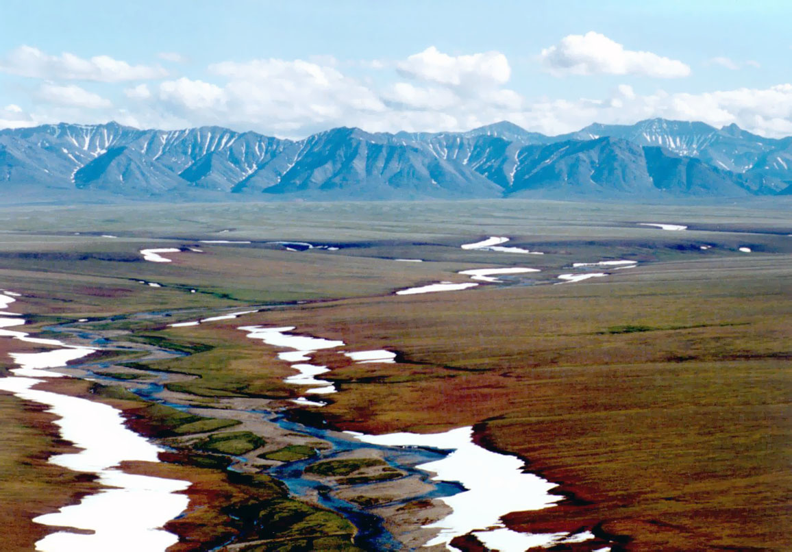
North Slope
A plain slopes gently down from the Brooks Range northwards to the Arctic Ocean. The Arctic Coastal Plain, often called the North Slope, is a flat, featureless expanse. An ancient seabed that has been uplifted by tectonic forces, it is covered by permafrost, soil that remains frozen year-round. In summer, it becomes a wetland with thousands of shallow peat lakes and tundra vegetation.

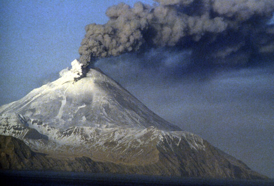
Aleutians
The Aleutian Range, which extends into the Aleutian Islands in the southwest, is a 2400-kilometre (1500-mile) volcanic arc. As the Pacific plate sinks beneath the continental plate, its rocks melt deep within the Earth's mantle. Magma, molten rock, rises to the surface through cracks in the crust, erupting as volcanoes. The Aleutian Peninsula and, beyond that, the Aleutian Islands, are the product of this volcanic activity, dating back more than 50 million years.
Consultant: Nicholas Harris
pics
Without in any way limiting Q-files Ltd’s exclusive rights under copyright, any use of this publication to “train” generative artificial intelligence (AI) technologies to generate text is expressly prohibited. Q-files Ltd reserves all rights to license use of this work for generative AI training and development of machine learning language models.