
Geography of the US

CITE
We have made every effort to follow citation style rules, but there may be some minor differences. If in doubt, please refer to the appropriate citation style manual.
Rocky Mountains. (2026). In Q-files Encyclopedia, Geography, Geography of the US. Retrieved from
https://www.q-files.com/geography/geography-of-the-us/rocky-mountains
"Rocky Mountains." Geography, Geography of the US, Q-files Encyclopedia, 19 Aug. 2026.
https://www.q-files.com/geography/geography-of-the-us/rocky-mountains.
Accessed 20 Aug. 2026.
Rocky Mountains 2026. Geography, Geography of the US. Retrieved 20 August 2026, from
https://www.q-files.com/geography/geography-of-the-us/rocky-mountains
Geography, Geography of the US, s.v. "Rocky Mountains," accessed August 20, 2026.
https://www.q-files.com/geography/geography-of-the-us/rocky-mountains


Rocky Mountains
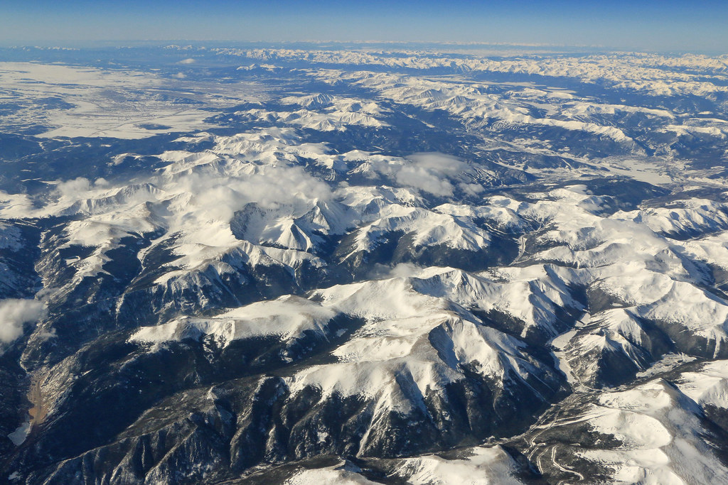
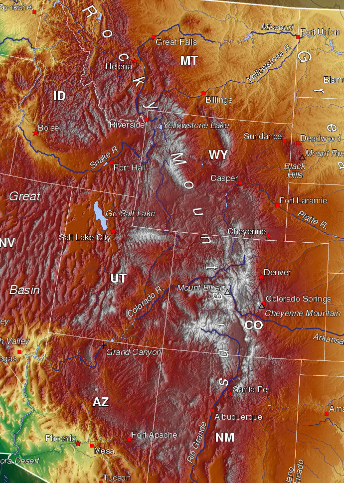
The Rocky Mountains form part of the great mountain chain called the North American Cordillera, which extends north into Canada and south into Mexico. In the US, the Rockies stretch from Montana and Idaho in the north southwards through Wyoming, Utah, Colorado and New Mexico. The range was uplifted during a mountain-building phase that began around 70 million years ago. Thick layers of crust were thrust on top of one another, producing a high plateau.

Laramide Orogeny
Tectonic movements in the west of North America are responsible for creating the Rocky Mountains. Between around 70 and 40 million years ago, the Pacific plate slid under the North American plate. The pressure caused the ancient rocks of Idaho, Utah and Wyoming to buckle and fold, pushing the Rocky Mountains upwards. The Laramide Orogeny, as it is known, resulted in a high plateau—not unlike the present-day Tibetan Plateau—lying at roughly 6000 metres (20,000 feet) above sea level.
The mountain-building occurred without the formation of erupting volcanoes. Geologists think this is because the subduction of the Pacific plate was at a shallow angle (called a flat-slab subduction): the rocks of the oceanic plate were not forced deep enough to melt.
Weathering and erosion
Since the Rockies were uplifted, weathering and erosion by glaciers, especially during the Pleistocene Ice Ages (2.58 million to 11,700 years ago), have shaped the present-day rugged mountain landscape, complete with glacial features such as U-shaped valleys, cirques and arêtes (sharp ridges). The snowpack in the high Rockies is an important source of water for rivers.
The range's highest peak is Mount Elbert in Colorado at 4401 metres (14,440 feet) above sea level. The Continental Divide, a ridge that separates streams and rivers systems flowing towards different oceans (although many of the rivers flowing west have no outlet to the sea), runs through the Rockies.
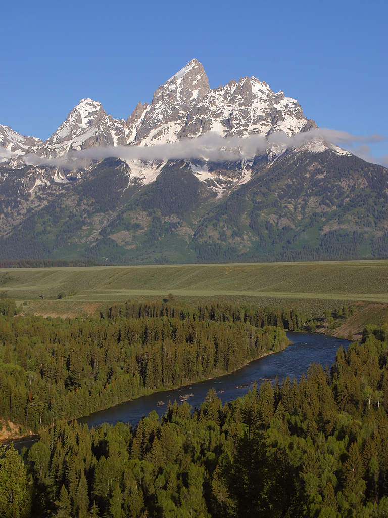
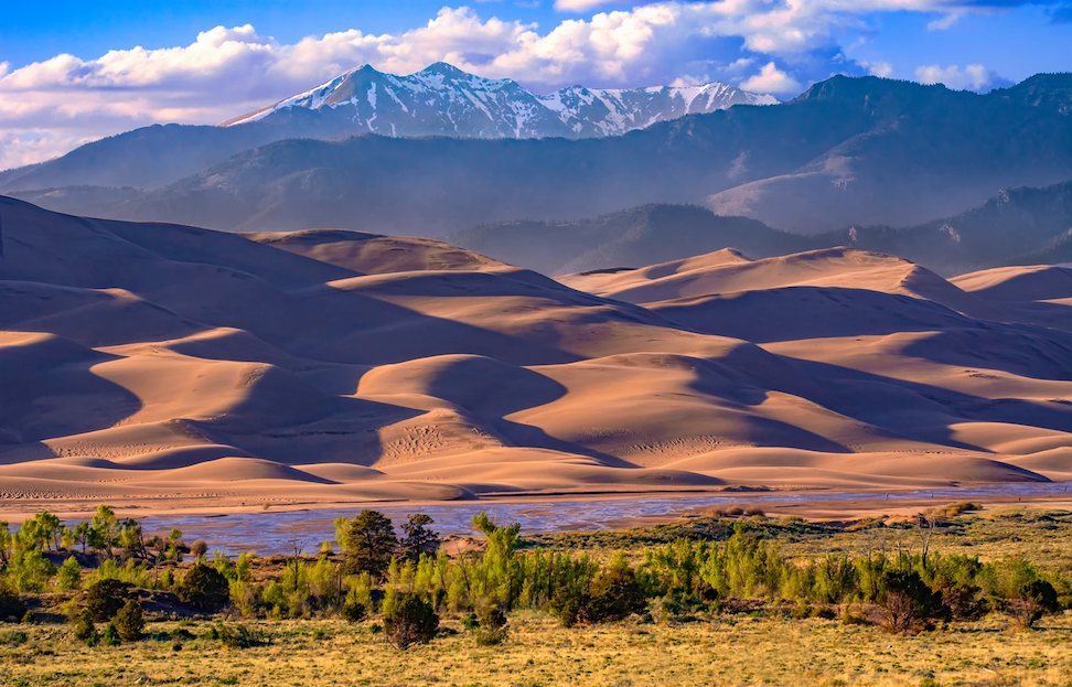
The Rockies are divided into several smaller sub-ranges, divided by basins and wide, rolling plateaus. One such basin, the San Luis Valley in Colorado, contains a vast area of sand dunes.
pics
Without in any way limiting Q-files Ltd’s exclusive rights under copyright, any use of this publication to “train” generative artificial intelligence (AI) technologies to generate text is expressly prohibited. Q-files Ltd reserves all rights to license use of this work for generative AI training and development of machine learning language models.