
Geography of India

CITE
We have made every effort to follow citation style rules, but there may be some minor differences. If in doubt, please refer to the appropriate citation style manual.
Peninsular Plateau. (2026). In Q-files Encyclopedia, Geography, Geography of India. Retrieved from
https://www.q-files.com/geography/geography-of-india/peninsular-plateau
"Peninsular Plateau." Geography, Geography of India, Q-files Encyclopedia, 31 Mar. 2026.
https://www.q-files.com/geography/geography-of-india/peninsular-plateau.
Accessed 31 Oct. 2026.
Peninsular Plateau 2026. Geography, Geography of India. Retrieved 31 October 2026, from
https://www.q-files.com/geography/geography-of-india/peninsular-plateau
Geography, Geography of India, s.v. "Peninsular Plateau," accessed October 31, 2026.
https://www.q-files.com/geography/geography-of-india/peninsular-plateau


Peninsular Plateau
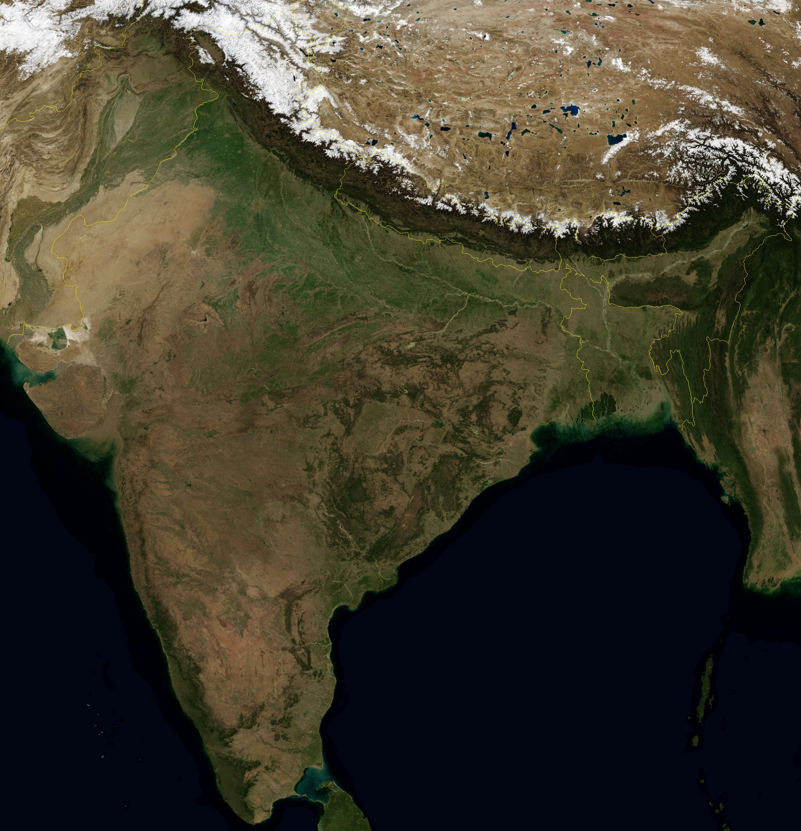
South of the Indo-Gangetic Plain, extending across central and southern India, lies the Peninsular Plateau, a huge tableland with rounded hills and shallow valleys. Running along the plateau's edges to either side are two mountain ranges: the Western and Eastern Ghats. Coastal plains lie between the Ghats and the sea. The Plateau can be divided into two main regions: the Central Highlands in the north and the Deccan Plateau in the south. Separate, smaller segments are the Kutch Kathiawar Plateau in Gujarat, and the Karbi and Meghalaya plateaus in Northeast India.

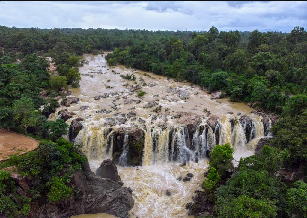

Central Highlands
A major part of the Central Highlands consists of the fertile Malwa Plateau, which extends across parts of Gujarat, Rajasthan and Madhya Pradesh states. Most of the region is drained by the River Chambal and its tributaries; the western portion is drained by the Mahi. The plateau is bordered in the northwest by the Aravalli Range, the eroded remains of ancient fold mountains. The range runs northeastwards some 800 kilometres (500 miles) from Rajasthan into Haryana as far as Delhi.
In the south, the Malwa Plateau rises gently to the Vindhya Range, a line of hills rarely exceeding 700 metres (2300 feet) in height. Extending east-west for about 1050 kilometres (650 miles), the Vindhyas mark the boundary between northern and southern India.
Further south, the Narmada Valley runs parallel to the Vindhyas. To the east, the rolling terrain of the Chhota Nagpur Plateau occupies much of Jharkhand and adjacent parts of Odisha, Bihar and Chhattisgarh. Much of this plateau is covered by dry deciduous forests. Vast reserves of metal ores and coal are found in its rocks.

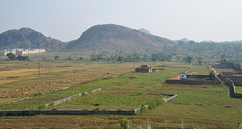
Deccan Plateau
The Deccan Plateau is a vast, triangular-shaped plateau lying at an average elevation of 600 metres (approximately 2000 feet) above sea level. It is bounded in the north by the Satpura Range, and flanked by the Western Ghats to the west and the Eastern Ghats to the east. Mostly flat, the plateau slopes from west to east. Major rivers such as the Kaveri, Godavari and Krishna rise in the Western Ghats and flow eastwards across the plateau to the Bay of Bengal. Semi-arid, much of the Deccan is covered by dry scrub forest scattered with small patches of deciduous broadleaf forest.

The Satpura Range, forming the northern edge of the Deccan, runs parallel to the Vindhya Range south of the Narmada Valley. It extends some 900 kilometres (560 miles) across central India. Many of its peaks rise above 1000 metres (3300 feet).

Western Ghats
The Western Ghats, also known as the Sahyadri mountains, run north-south along the western edge of India's Deccan Plateau, separating it from the narrow plain on the Arabian Sea coast. Sometimes called the Great Escarpment of India, the mountains rise abruptly from this plain, but their eastern slopes, merging with the plateau, are more gentle. The range stretches approximately 1600 kilometres (100 miles) from near the Gujarat–Maharashtra border to the southern tip of the Indian peninsula. The peaks vary in height and are separated in places by mountain passes or lowland corridors. Their average elevation is around 1000 metres (3300 feet), with Anai Mudi in Kerala the highest at 2695 metres (8842 feet).

Western Coastal Plain
The Western Coastal Plain is a strip of lowland, between 50 and 100 kilometres (30–60 miles) wide, lying between the Western Ghats and the Arabian Sea coast. It extends from Gujarat in the north to Kerala in the south, passing through Maharashtra, Goa and Karnataka. The Maharashtra-Goa stretch, a region of low plateaus, is known as the Konkan. Fast-flowing streams descending from the Western Ghats cut deep valleys in the Konkan and form estuaries where they flow into the sea.

From Goa south to Cape Comorin, the southernmost tip of India, the plain is known as the Malabar Coast. Formed by the deposition of sediments along the shore, the plain features many lagoons and, in Kerala, brackish backwater channels.

Eastern Ghats
The Eastern Ghats run south from West Bengal parallel to the coast of the Bay of Bengal, meeting the Western Ghats in the Nilgiri Hills of Tamil Nadu. The Ghats are cut through by a number of east-flowing rivers, chief among them the Godavari, Mahanadi, Krishna and Kaveri. The Eastern Ghats are not generally as high as the Western Ghats, although some peaks are over 1000 metres (3300 feet) high. Arma Konda (1690 metres or 5540 feet) in Andhra Pradesh is the tallest of all.
Eastern Coastal Plain
The Eastern Coastal Plain, varying from about 100 to 130 kilometres (60–80 miles) in width, sits between the Eastern Ghats and the Bay of Bengal. It stretches from West Bengal southwestwards to Tamil Nadu, passing through Odisha and Andhra Pradesh. The southern section is known as the Coromandel Coast. The Mahanadi, Godavari, Kaveri and Krishna rivers all form large deltas where they meet the sea. Several lagoons, including Pulicat and Chilika lakes have formed behind bars of sediment deposited along the shore.
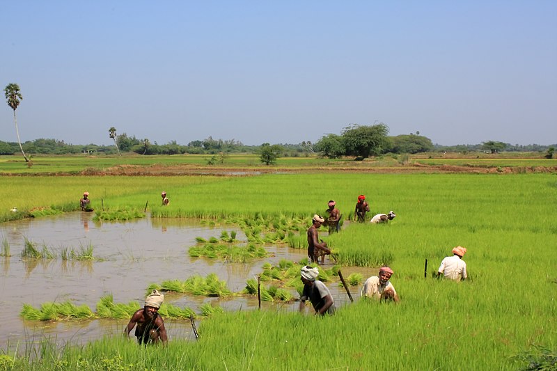


Plateau rivers
Unlike Himalayan rivers, which are fed by glaciers, the rivers of India's Peninsular Plateau depend on monsoon rains. Many of them shrink to a fraction of their wet-season volume during the dry months. Some of these rivers flow northwards into the Indo-Gangetic Plain. They include the Chambal and Betwa (tributaries of the Yamuna), which originate in the Vindhya Range. The Damodar, a tributary of the Hooghly, and the Son, a tributary of the Ganges, both rise on the Chhota Nagpur Plateau.
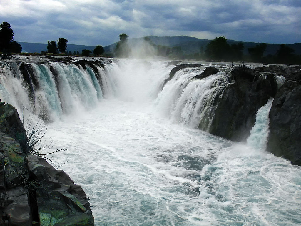
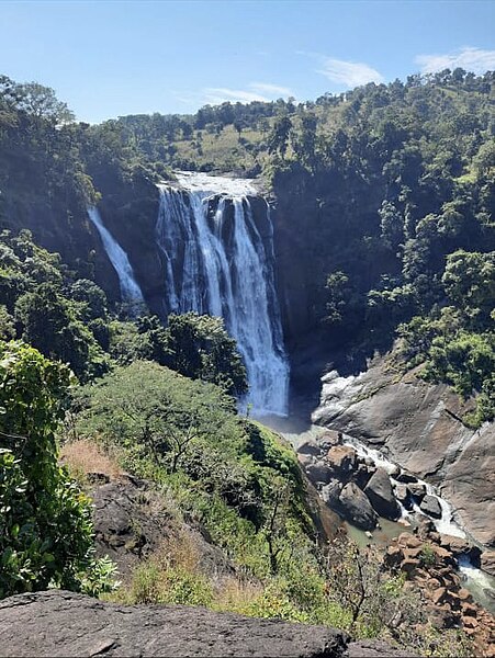
Westward-flowing rivers from the Central Highlands, including the Mahi, Narmada and Tapi, empty into the Arabian Sea in Gujarat. But it is rivers flowing east that make up 90% of the total outflow from the Peninsular Plateau. The major rivers flowing eastwards into the Bay of Bengal include the Mahanadi, Godavari, Krishna and Kevari. Except for the Mahanadi, they all originate in the Western Ghats. The lower courses of many of them are marked by gorges, rapids and falls and as they cut through the Eastern Ghats.
Consultant: Nicholas Harris
pics

Without in any way limiting Q-files Ltd’s exclusive rights under copyright, any use of this publication to “train” generative artificial intelligence (AI) technologies to generate text is expressly prohibited. Q-files Ltd reserves all rights to license use of this work for generative AI training and development of machine learning language models.