
States and territories of India

CITE
We have made every effort to follow citation style rules, but there may be some minor differences. If in doubt, please refer to the appropriate citation style manual.
Madhya Pradesh. (2026). In Q-files Encyclopedia, Geography, States and territories of India. Retrieved from
https://www.q-files.com/geography/states-and-territories-of-india/madhya-pradesh
"Madhya Pradesh." Geography, States and territories of India, Q-files Encyclopedia, 31 Mar. 2026.
https://www.q-files.com/geography/states-and-territories-of-india/madhya-pradesh.
Accessed 6 Aug. 2026.
Madhya Pradesh 2026. Geography, States and territories of India. Retrieved 6 August 2026, from
https://www.q-files.com/geography/states-and-territories-of-india/madhya-pradesh
Geography, States and territories of India, s.v. "Madhya Pradesh," accessed August 6, 2026.
https://www.q-files.com/geography/states-and-territories-of-india/madhya-pradesh


Madhya Pradesh
Madhya Pradesh is a state in in central India (its name means "Central Province"). The modern state took shape in 1956, when India's state boundaries were re-organized on thebasis of language. The Marathi-speaking Vidarbha region of Madhya Pradesh was merged with Bombay State, while the remainder, largely Hindi-speaking, was combined with the states of Madhya Bharat, Vindhya Pradesh and Bhopal to form the new Madhya Pradesh state. In 2000, the southeastern Chhattisgarh region was granted separate statehood.

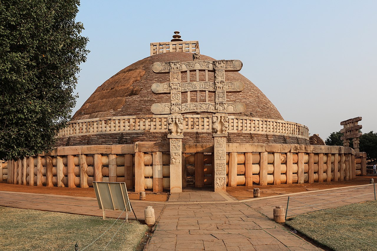

Geography
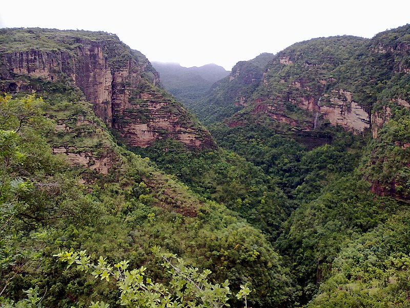
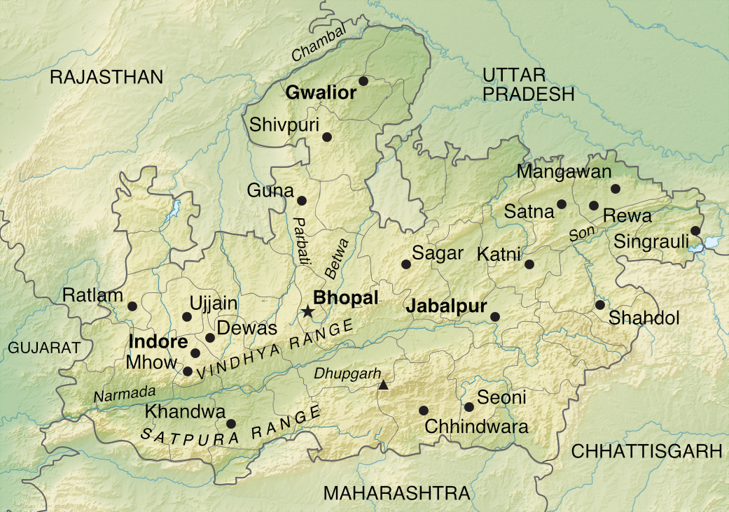
Madhya Pradesh occupies the Deccan Pleateau, an upland area mainly consisting of rocks of the Deccan Traps, a huge area of volcanic rock (mostly basalt). The River Narmada runs from east to west between the Vindhya Range to the north and Satpura Range to the south. Part of its course takes it through the Narmada Valley. A rift valley, it was formed after a block of the Earth's crust slipped down between faults in the rocks either side.
The Vindhyas form the southern boundary of the Ganges basin. Rivers rising in this range flow north across a plateau to the Indo-Gangetic Plain, which fringes the state's northern borders. The plateau is a mixture of fertile farmland and dry thorny forest. Further east, the forests become more lush. Rivers rising in the Satpuras flow southwards into the Godavari river basin.
Climate
Most of Madhya Pradesh has a humid subtropical climate. Summers (March–June) are dry and hot, with the average temperature in the state frequently soaring to 42°C (107°F) or above. During this period, dust storms, usually mild, happen occasionally.
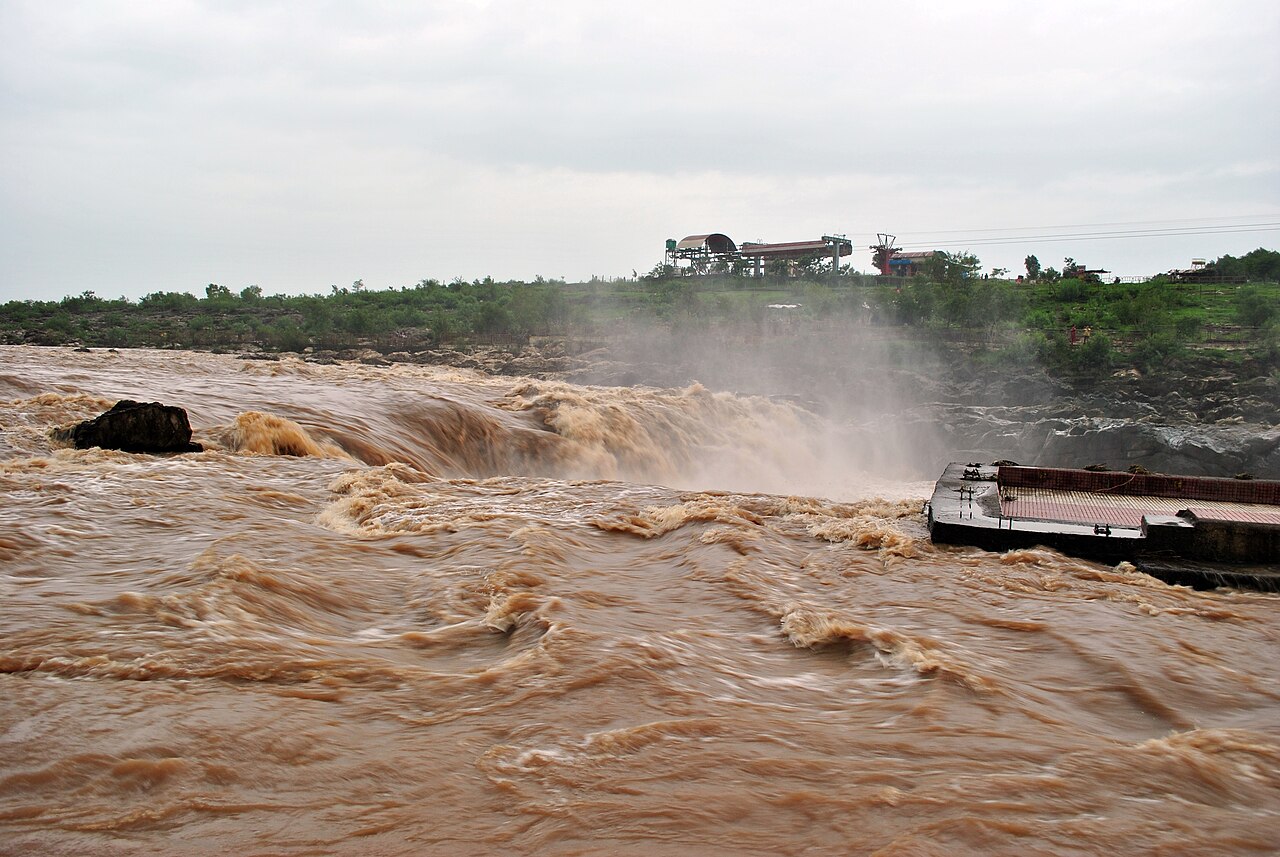
The southwest monsoon normally arrives in mid-June and the state receives most of its rainfall between then and September. Southern and southeastern regions tend to experience higher rainfall (annual averages of more than 150 centimetres or 60 inches) than in the northwest (less than 80 centimetres or 32 inches).
From November temperatures drop as winter, a relatively dry season, arrives. Average January temperatures in northern areas are between 15 and 18°C (59–64°F), a little warmer further south.

Economy
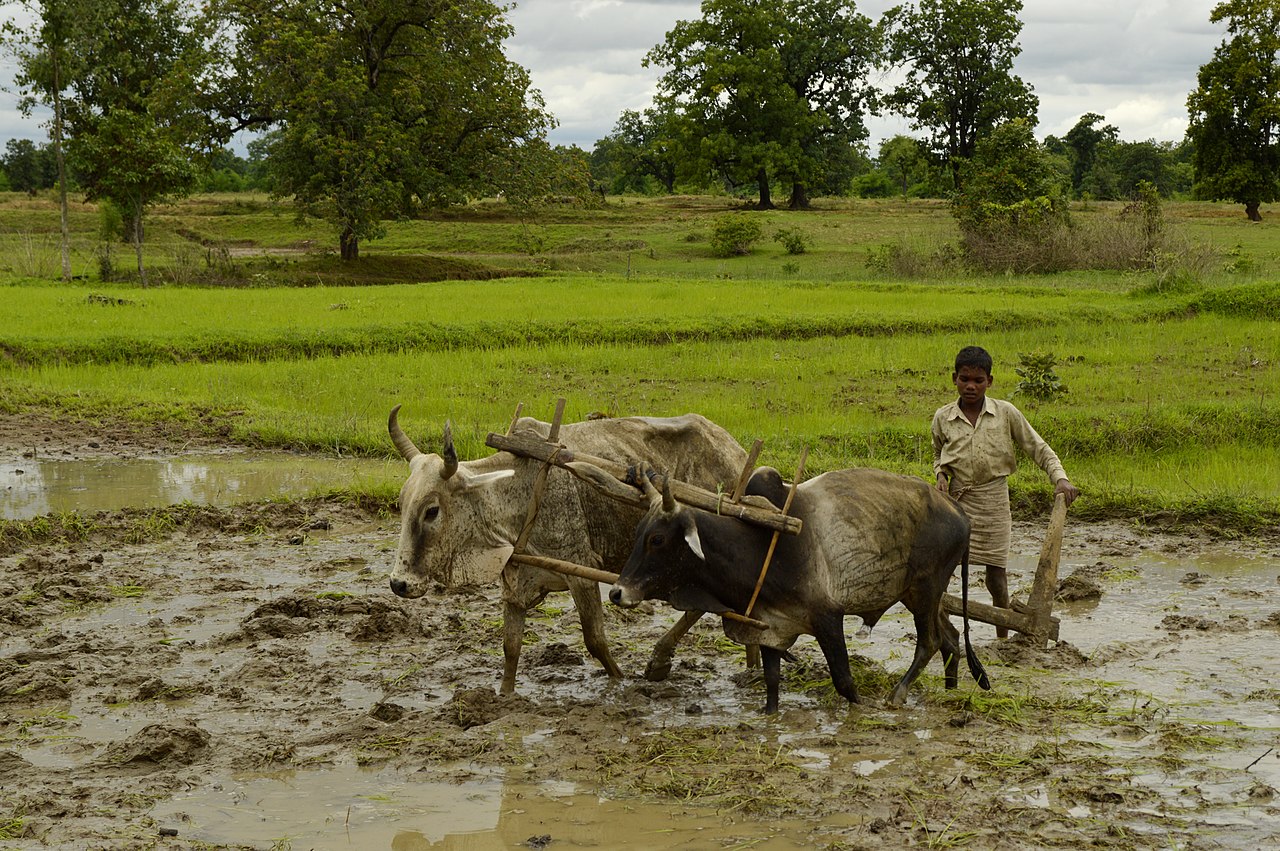
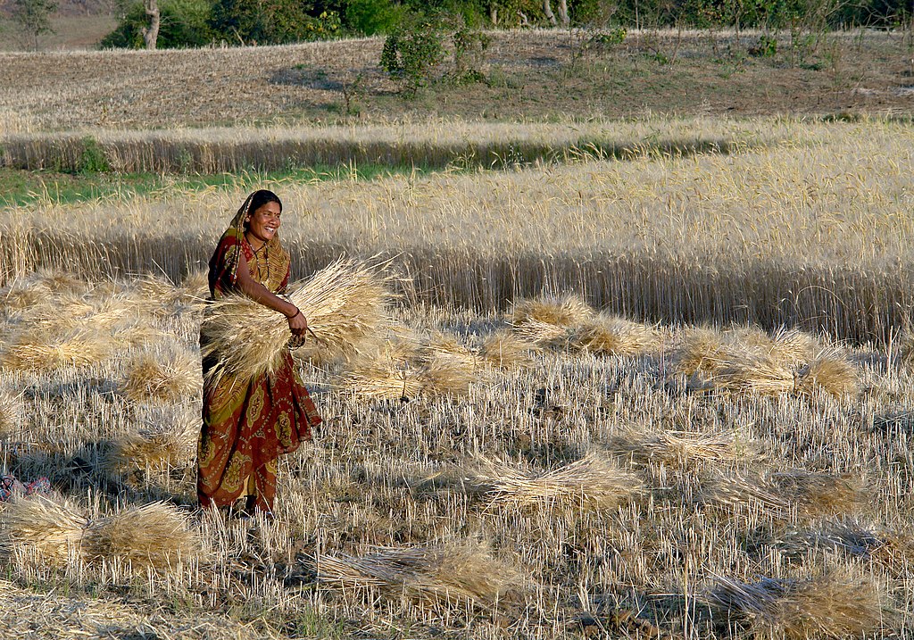
The state's economy is dominated by agriculture, which employs 62% of the state's workforce. The major crops are staples rice and wheat, while soya beans, gram (a type of chickpea), sugar cane, cotton, rapeseed, mustard and arhar (a legume) are cash crops. Madhya Pradesh is also known for honey production in Morena district.
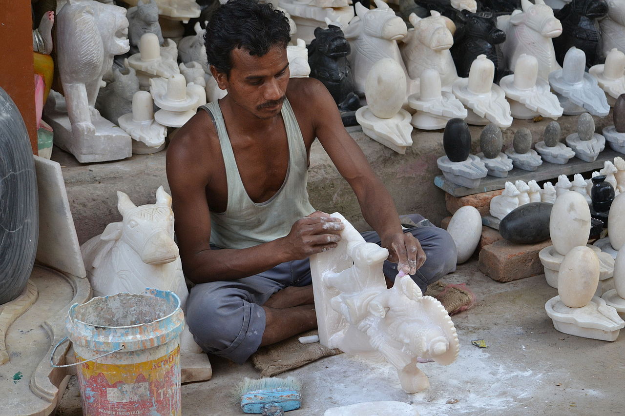
Manufacturing is concentrated in the urban areas of Indore, Bhopal (especially in the Mandideep Industrial Area), Gwalior, Chhindwara and Jabalpur. Mechanical parts, cars, chemicals, pharmaceuticals, food processing, textiles and leather goods are the main products.
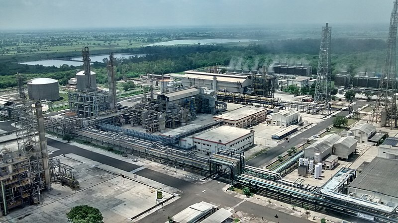

Ordnance (military supplies) factories are located in Jabalpur. Banknotes are printed at special print factories in Dewas on paper produced at a Hoshangabad paper mill. The state has the largest reserves of diamond and copper in India, while Singrauli district, in the far east of the state, is a major coal mining area.

History
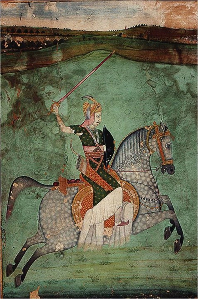
Over the centuries, the region that is now Madhya Pradesh was ruled by the major empires of India. The Maratha Empire dominated it for most of the 18th century. Following the Anglo-Maratha Wars (1775–1818), the region came under British rule. Some parts became princely states overseen by the Central India Agency while the remainder was incorporated into Central Provinces and Berar.
After India's independence, the Central Provinces and Berar were merged with the princely states of Makrai and Chhattisgarh to become the state of Madhya Pradesh (then including the northeastern part of present-day Maharashtra) with Nagpur as its capital. The shape of the present state emerged after the States Reorganization Act of 1956.

Consultant: Nicholas Harris
Facts about Madhya Pradesh
Area 308,252 sq km (119,017 sq miles) Rank: 2nd
Highest point Mount Dhupgarh 1352 m (4436 ft)
Population 88,985,000 Rank: 5th
Capital Bhopal (pop. 1,883,381)
Largest cities Indore (pop. 2,167,447), Jabalpur (1,267,564), Gwalior (1,101,981), Ujjain (593,368)
Main languages Hindi (68%), Malvi (6%), Bundeli (6%), Bagheli (4%), Nimadi (3%), Bhili (2.5%)
Main religions Hinduism (91%), Islam (7%)
State bird Indian paradise flycatcher
State flower White (or Madonna) lily
State mammal Barasingha
State tree Banyan

pics

Without in any way limiting Q-files Ltd’s exclusive rights under copyright, any use of this publication to “train” generative artificial intelligence (AI) technologies to generate text is expressly prohibited. Q-files Ltd reserves all rights to license use of this work for generative AI training and development of machine learning language models.