
States and territories of India

CITE
We have made every effort to follow citation style rules, but there may be some minor differences. If in doubt, please refer to the appropriate citation style manual.
Mizoram. (2026). In Q-files Encyclopedia, Geography, States and territories of India. Retrieved from
https://www.q-files.com/geography/states-and-territories-of-india/mizoram
"Mizoram." Geography, States and territories of India, Q-files Encyclopedia, 31 Mar. 2026.
https://www.q-files.com/geography/states-and-territories-of-india/mizoram.
Accessed 20 Oct. 2026.
Mizoram 2026. Geography, States and territories of India. Retrieved 20 October 2026, from
https://www.q-files.com/geography/states-and-territories-of-india/mizoram
Geography, States and territories of India, s.v. "Mizoram," accessed October 20, 2026.
https://www.q-files.com/geography/states-and-territories-of-india/mizoram


Mizoram
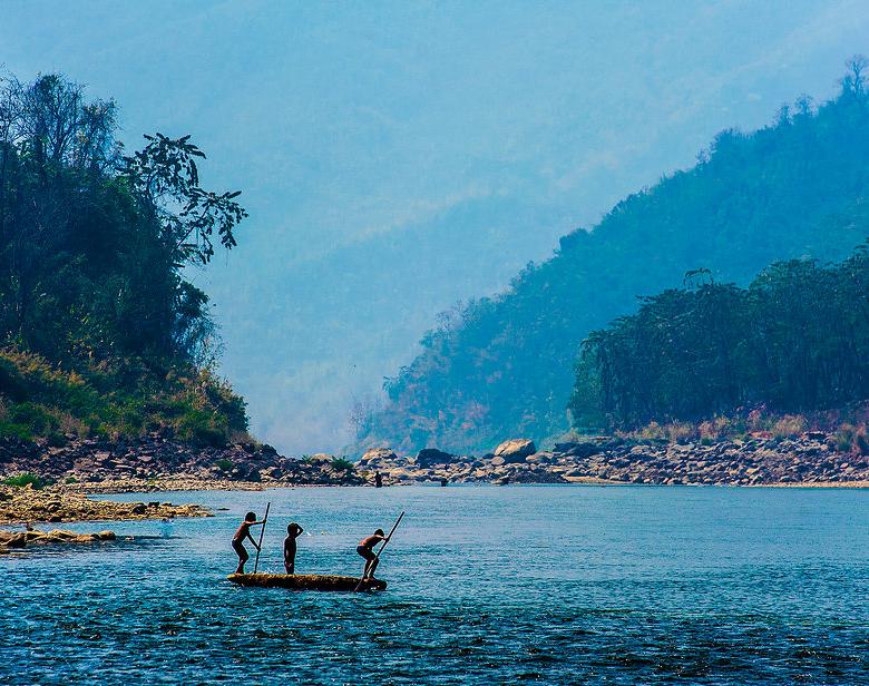
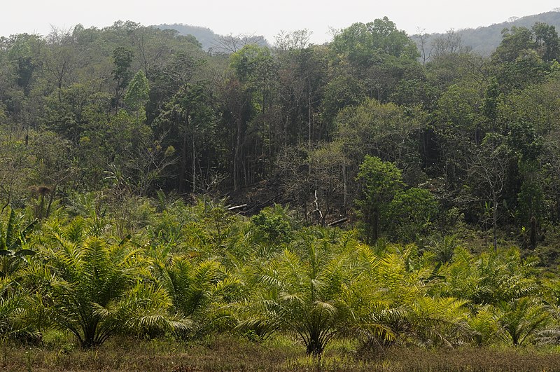
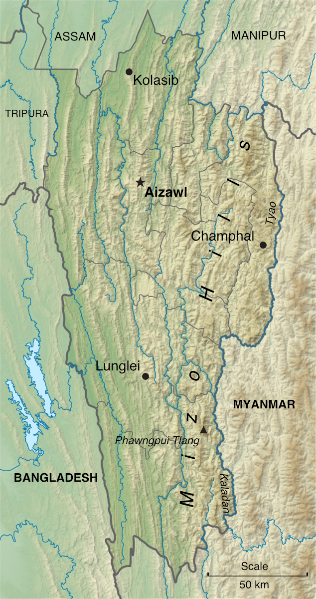
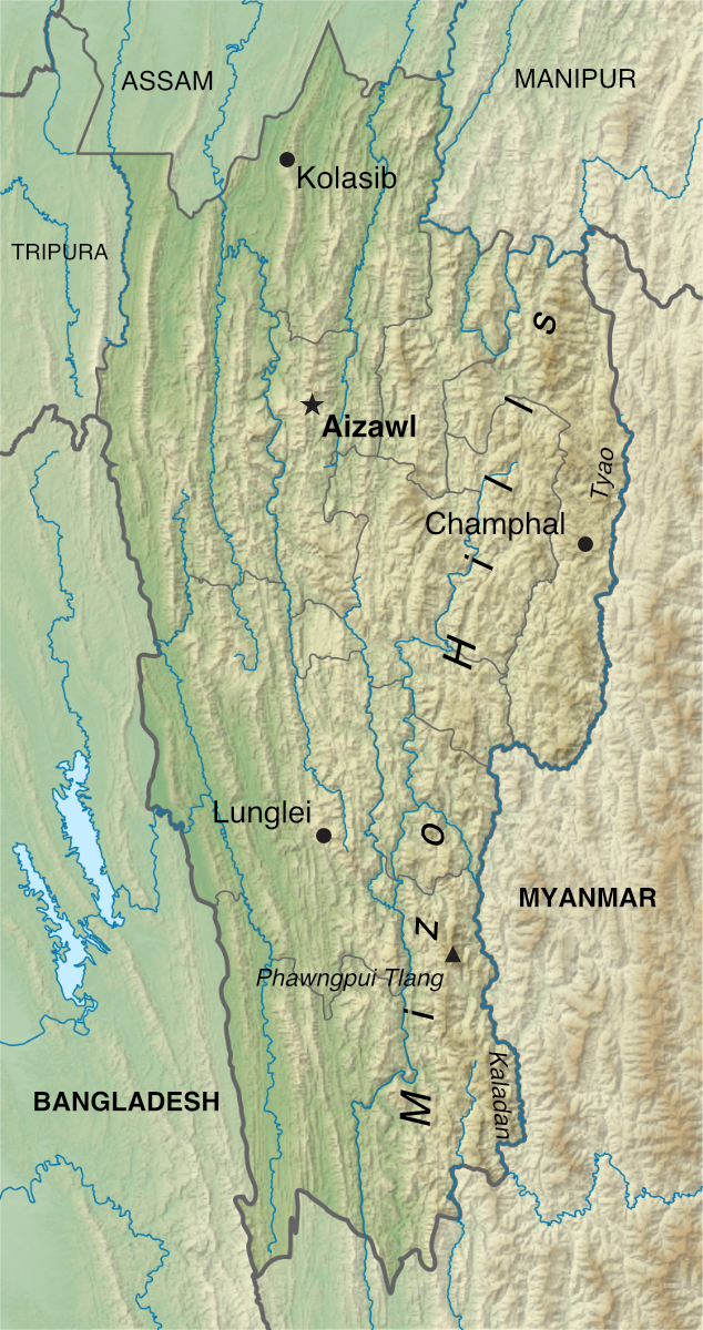
Mizoram is a state in northeast India. A land of rolling hills, valleys and ridges, its highest point is, at 2210 metres (7250 feet) high, Phawngpui Tlang (Blue Mountain), a peak in the southeast of the state. The average height of the hills in the west is about 1000 metres (3300 ft), rising gradually to about 1300 metres (4300 ft) in the east. The hill ranges—and the river valleys between them, run almost exactly north-south through Mizoram. Three-quarters of the state's land area is covered by forest.
Economy
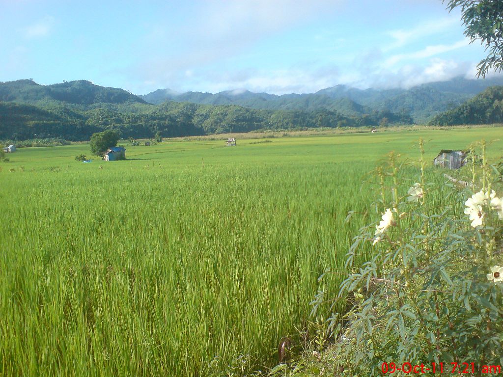
Just over half Mizoram's population relies on farming as a livelihood. Jhum, a traditional form of shifting cultivation, remains a common practice, but it is being replaced by terrace cultivation, mainly of rice. Fruit, flowers, spices and bamboo are the main cash crops. Sericulture (silk manufacture) is an important handicraft industry.
Mizoram's literacy rate is 92%, second only to Kerala in all the states of India. About 52% of its population lives in urban areas, which is also much higher than India's average.

History and people
Mizo tribes first began to settle the area that is now the state of Mizoram in the 16th century. Travelling from Southeast Asia, they arrived in waves over the next two centuries. Mizo clans (extended families) lived in villages, with territories, known as rams, ruled by tribal chiefs.
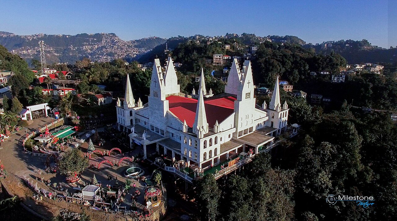
The Mizo Hills came under British rule in 1895. By the 1920s and 30s, missionaries had converted most of the population to Christianity (chiefly Presbyterianism), which remains the case today. On India's independence in 1947, Mizoram became the Lushai Hills district of Assam. It was carved off as a union territory in 1972 before becoming a state in 1987.
About 95% of Mizoram's population today descends from the original Mizo tribes, a collective name for peoples including the Kuki, Pawi and Lakher. The state's name means "Land of the Mizos". The Mizo language is from the Tibeto-Burman family.
Consultant: Nicholas Harris
Facts about Mizoram
Area 21,081 sq km (8139 sq miles) Rank: 24th
Population 1,264,000 Rank: 27th
Capital and largest city Aizawl (pop. 293,416)
Highest point Phawngpui Tlang (Blue Mountain) 2210 m (7250 ft)
Main languages Mizo (73%), Chakma (9%)
Main religions Christianity (87%), Buddhism (9%), Hinduism (3%)
State bird Mrs Hume's pheasant
State flower Red vanda
State mammal Himalayan serow
State tree Indian rose chestnut


pics
Without in any way limiting Q-files Ltd’s exclusive rights under copyright, any use of this publication to “train” generative artificial intelligence (AI) technologies to generate text is expressly prohibited. Q-files Ltd reserves all rights to license use of this work for generative AI training and development of machine learning language models.