
States and territories of India

CITE
We have made every effort to follow citation style rules, but there may be some minor differences. If in doubt, please refer to the appropriate citation style manual.
Arunachal Pradesh. (2026). In Q-files Encyclopedia, Geography, States and territories of India. Retrieved from
https://www.q-files.com/geography/states-and-territories-of-india/arunachal-pradesh
"Arunachal Pradesh." Geography, States and territories of India, Q-files Encyclopedia, 31 Mar. 2026.
https://www.q-files.com/geography/states-and-territories-of-india/arunachal-pradesh.
Accessed 21 Oct. 2026.
Arunachal Pradesh 2026. Geography, States and territories of India. Retrieved 21 October 2026, from
https://www.q-files.com/geography/states-and-territories-of-india/arunachal-pradesh
Geography, States and territories of India, s.v. "Arunachal Pradesh," accessed October 21, 2026.
https://www.q-files.com/geography/states-and-territories-of-india/arunachal-pradesh


Arunachal Pradesh
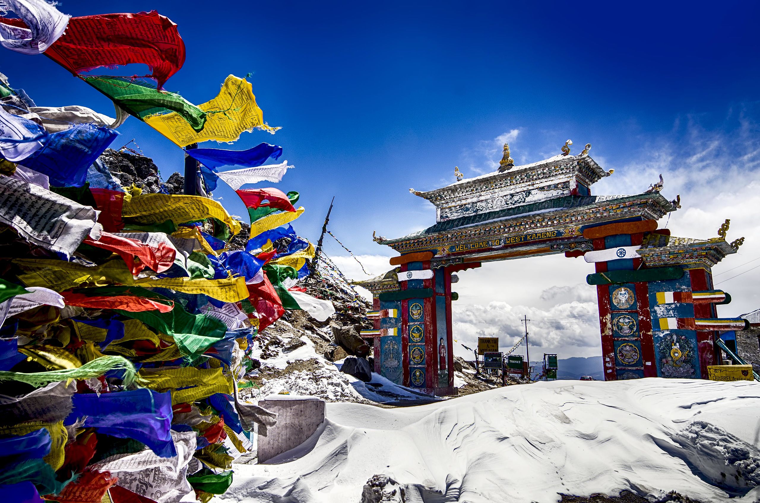
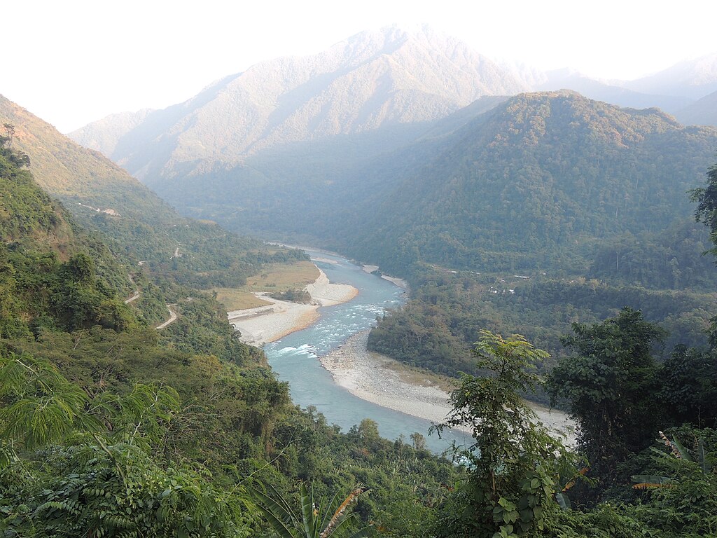
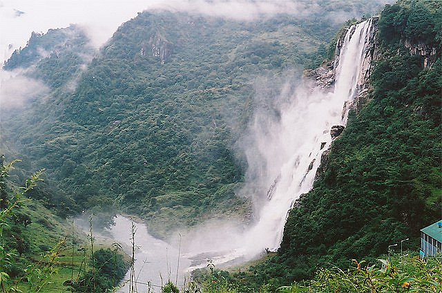
Arunachal Pradesh is a state in northeast India. It occupies the region where the Sivalik Hills, the foothills of the Himalayas, rise from the Brahmaputra Plain to the Lesser Himalayas. In the far north, along the border with Tibet, are the high peaks of the Great Himalayas, of which Kangto, at 7090 metres (23,260 feet) above sea level, is the highest. In the east, along the border with Myanmar, the lower peaks of the Patkai Range merge with the Himalayas. Some 80% of the state's land area is forested.
History
During the British colonial era, Arunachal Pradesh (its name means "Dawn-Lit Mountain Province") was known as the North-East Frontier Agency (NEFA) region. Made part of Assam State following Indian independence in 1947, it became the union territory of Arunachal Pradesh in 1972 and was declared as a state in 1987. Arunachal Pradesh is claimed by China as part of the Tibet Autonomous Region. China occupied an area of Arunachal Pradesh in 1962, but later withdrew its forces.
People
Arunachal Pradesh is a diverse state, home to 26 major tribes. The Monpa people, nomadic herders, live in the west, the Tani (including the Nyishi and Adi) in the centre, Mishmi and Tai in the east and the Naga in the southeast. The majority speak Tani languages of the Tibeto-Burman language family.
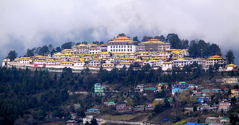
No single religion dominates, although Christianity has the most followers at around 30% of the population (as a result of missionary activity in the late 20th century). Many Tani people follow an indigenous belief called Donyi-Polo (Sun-Moon). There is a significant Tibetan Buddhist population in the north and northwest.

A large percentage of the population of Arunachal Pradesh live by farming. Jhum, the local term for shifting cultivation, is still widely practised. Among the crops grown are rice, maize, millet and wheat, with oilseeds, sugar cane and ginger among the main cash crops. Most of the state’s power is provided by hydro-electric plants.
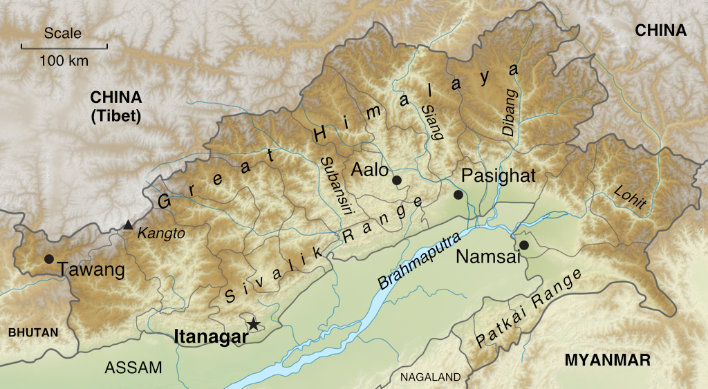
Consultant: Nicholas Harris
Facts about Arunachal Pradesh
Area 83,743 sq km (32,333 sq miles) Rank: 14th
Highest point Kangto 7090 m (23,260 ft)
Population 1,594,000 Rank: 25th
Capital and largest city Itanagar (pop. 59,490)
Main languages Nyishi (21%), Adi (17%), Nepali (7%), Tagin (5%), Bhotia (5%), Wancho (4%)
Main religions Christianity (30%), Hinduism (29%), Donyi-Polo (26%), Buddhism (12%), Islam (2%)
State bird Hornbill
State flower Foxtail orchid
State mammal Mithun (or gayal, a domestic cattle)
State tree Hollong


pics

Without in any way limiting Q-files Ltd’s exclusive rights under copyright, any use of this publication to “train” generative artificial intelligence (AI) technologies to generate text is expressly prohibited. Q-files Ltd reserves all rights to license use of this work for generative AI training and development of machine learning language models.