
States and territories of India

CITE
We have made every effort to follow citation style rules, but there may be some minor differences. If in doubt, please refer to the appropriate citation style manual.
Jharkhand. (2026). In Q-files Encyclopedia, Geography, States and territories of India. Retrieved from
https://www.q-files.com/geography/states-and-territories-of-india/jharkhand
"Jharkhand." Geography, States and territories of India, Q-files Encyclopedia, 31 Mar. 2026.
https://www.q-files.com/geography/states-and-territories-of-india/jharkhand.
Accessed 6 Aug. 2026.
Jharkhand 2026. Geography, States and territories of India. Retrieved 6 August 2026, from
https://www.q-files.com/geography/states-and-territories-of-india/jharkhand
Geography, States and territories of India, s.v. "Jharkhand," accessed August 6, 2026.
https://www.q-files.com/geography/states-and-territories-of-india/jharkhand


Jharkhand
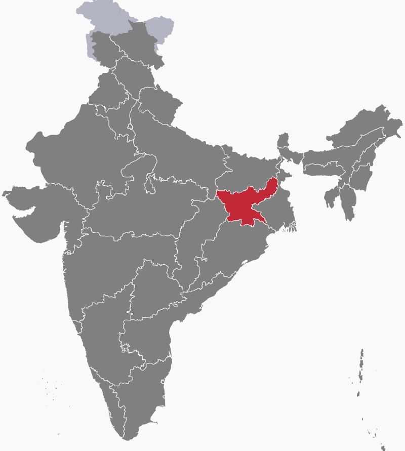
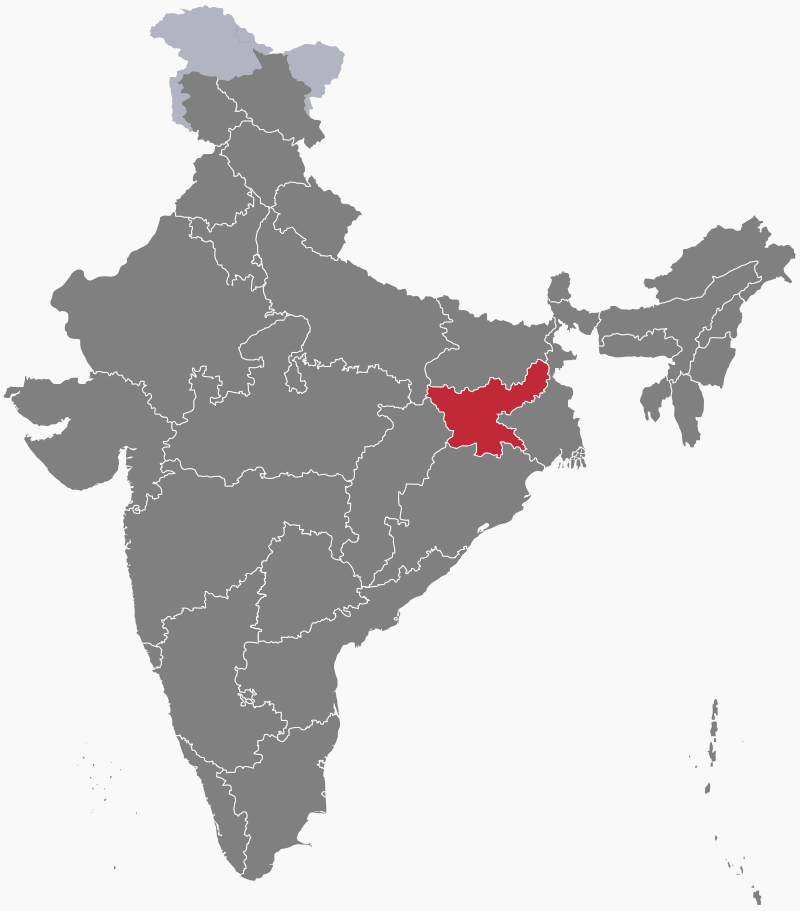
Jharkhand ("Land of Forests") is a state in eastern India. A movement for a separate state of Jharkhand began in the 1950s, but because there was no single dominant language in the region, India's government initially turned down the movement's demands. Eventually, a new state called Vanachal, made up of the Chhota Nagpur Division and Santhal Pargana Division of south Bihar, came into being in November 2000. The name of the state was later changed from Vanachal to Jharkhand.
Geography
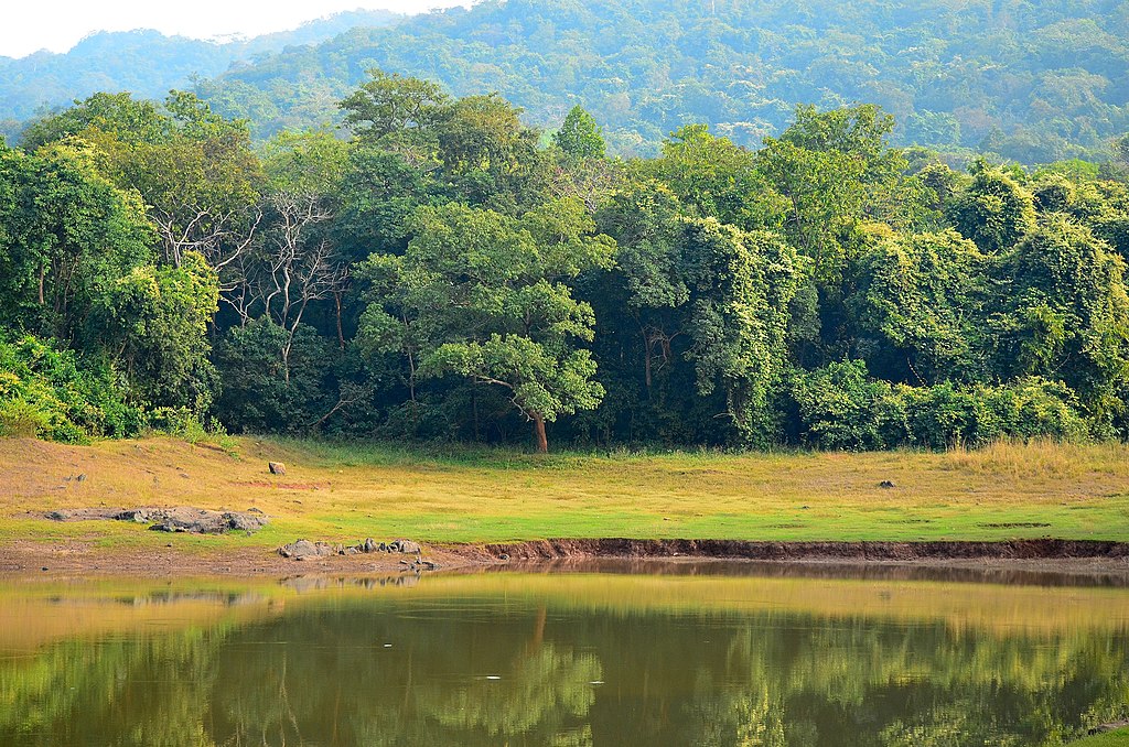
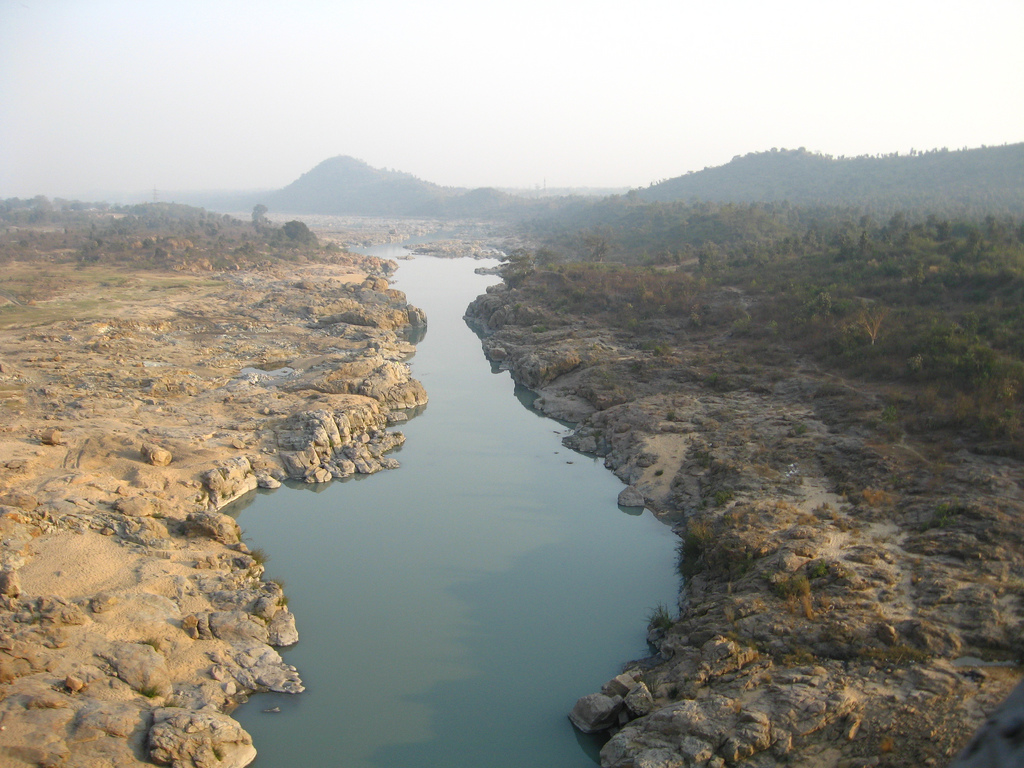
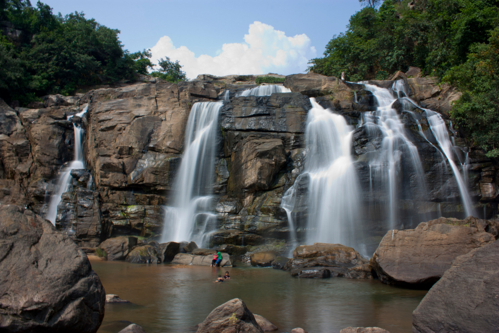
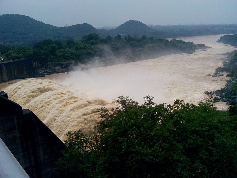
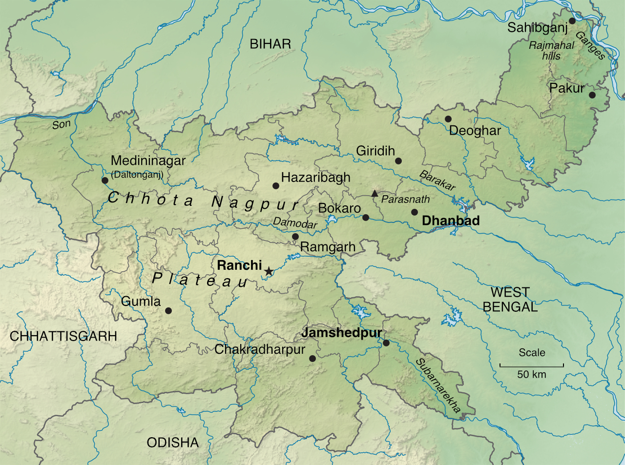
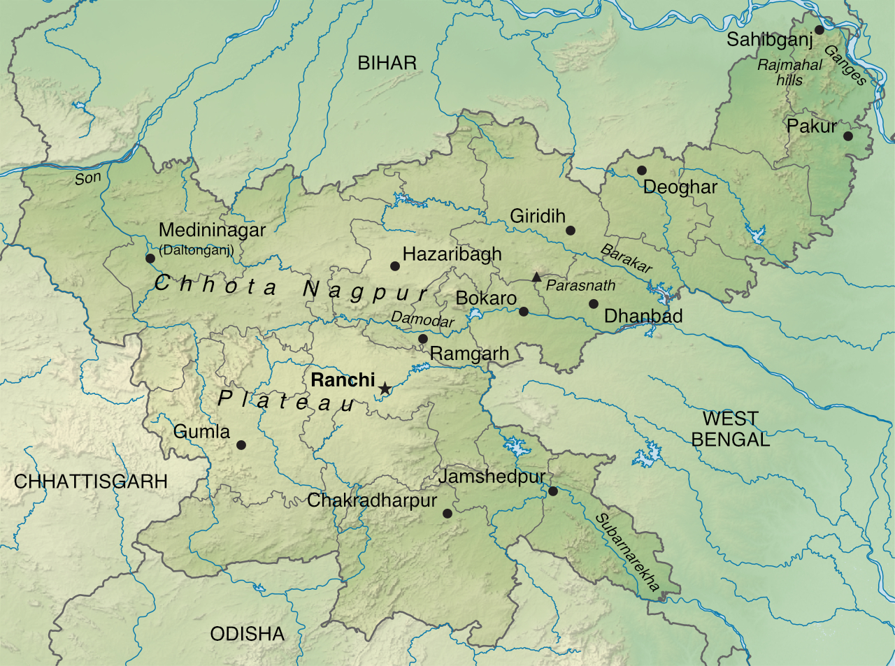
Jharkhand is mostly hilly, with the Chhota Nagpur Plateau running across a major part of its area. In the far northeast, beyond the low Rajmahal hills, the River Ganges flows along part of the state's borders with Bihar and West Bengal. The Chhota Nagpur Plateau, containing rich reserves of minerals, is cut through by several valleys, including those of the Damodar, Subarnarekha, Brahmani and Kharkai rivers.
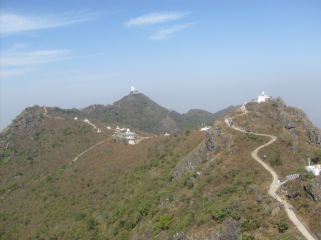
Jharkhand's river valleys have fertile soils, supporting agriculture, while the rivers themselves provide both irrigation waters and hydro-electric power. The uplands, thickly forested, are made up of a number of ranges, including the Parasnath Hills, a revered Jain pilgrimage site. Jharkhand is primarily rural, with less than a quarter of its population living in cities.
Climate
Jharkhand has a tropical monsoon climate in the north and a tropical wet and dry climate in the southeast. Summer lasts from March to mid-June, with temperatures climbing to 37°C (99°F) in May, the hottest month. The southwest monsoon blows from mid-June to October, bringing nearly all the state's annual rainfall. This ranges from about 100 centimetres (40 inches) in west-central parts to more than 150 centimetres (60 inches) in the southwest. Winter runs from November to February, where temperatures in central regions usually range between 10 and 24°C (50 to 75°F).
Economy
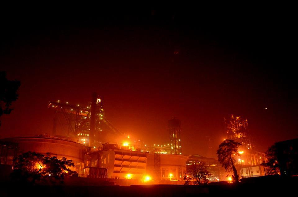
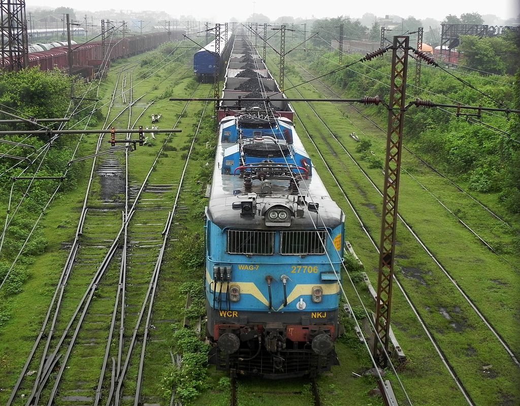
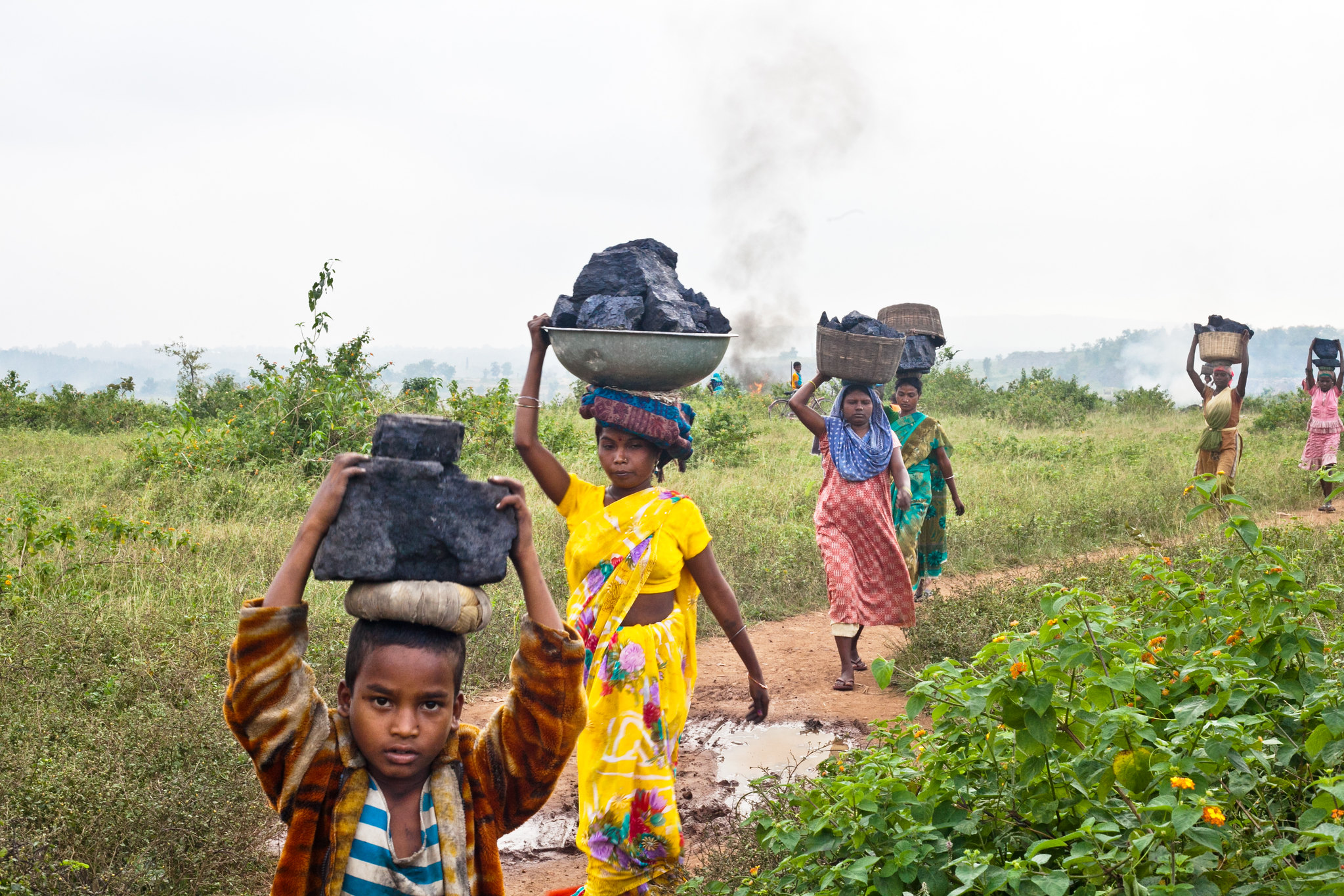
With its abundant reserves of iron ore, coal, copper ore, mica, bauxite, graphite, limestone and uranium, Jharkhand is the second highest producer of minerals in the country after Chhattisgarh. Coal and iron ore support concentrations of manufacturing industry in Jamshedpur (where Tata Steel is based), Dhanbad, Bokaro Steel City and Ranchi. Jharkhand is also known for its extensive forest resources.

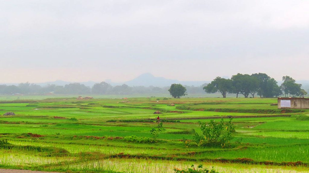
Almost 80% of Jharkhand's inhabitants are farmers. They produce crops such as rice, wheat, maize, pulses, potatoes and oilseeds, along with vegetables such as tomato, carrots, cabbage, brinjal, pumpkin and papaya.
History
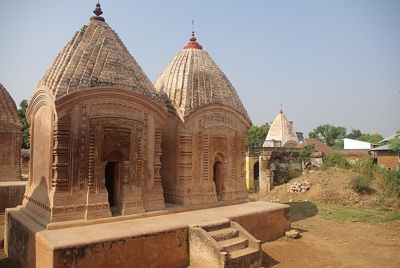
The region of present-day Jharkhand was ruled by many of India's great empires and dynasties, including the Nandas, Mauryas and Guptas in ancient and medieval times. In the 17th century Jharkhand came under the rule of the Mughals. Following Mughal decline, local rulers from the Chero, Nagvanshi, Ramgarh and Kharagdiha dynasties took over, before the British East India Company gained power in the late 18th century.
Under the British Raj, the region was part of the Bengal Presidency until 1905. Most of it was then transferred to the Central Provinces. The princely states known as the Orissa Tributary States later became grouped in the Eastern States Agency. After Indian independence in 1947, the region was split among the states of Madhya Pradesh, Orissa (later Odisha) and Bihar.
Consultant: Nicholas Harris
Facts about Jharkhand
Area 79,716 sq km (30,779 sq miles) Rank: 15th
Highest point Parasnath 1382 m (4534 ft)
Population 40,626,000 Rank: 12th
Capital Ranchi pop. 1,126,741
Largest cities Jamshedpur (pop. 1,339,438), Dhanbad (1,196,214), Bokaro (564,319), Deoghar (203,123)
Main languages Khortha (23%), Hindi (21%), Bengali (10%), Santali (9%), Nagpuri (7%), Urdu (6%)
Main religions Hinduism (68%), Islam (14.5%), Sarnaism (13%), Christianity (4%)
State bird Koel
State flower Palash
State mammal Asian elephant
State tree Sal
pics
Without in any way limiting Q-files Ltd’s exclusive rights under copyright, any use of this publication to “train” generative artificial intelligence (AI) technologies to generate text is expressly prohibited. Q-files Ltd reserves all rights to license use of this work for generative AI training and development of machine learning language models.