
States and territories of India

CITE
We have made every effort to follow citation style rules, but there may be some minor differences. If in doubt, please refer to the appropriate citation style manual.
Meghalaya. (2026). In Q-files Encyclopedia, Geography, States and territories of India. Retrieved from
https://www.q-files.com/geography/states-and-territories-of-india/meghalaya
"Meghalaya." Geography, States and territories of India, Q-files Encyclopedia, 31 Mar. 2026.
https://www.q-files.com/geography/states-and-territories-of-india/meghalaya.
Accessed 20 Oct. 2026.
Meghalaya 2026. Geography, States and territories of India. Retrieved 20 October 2026, from
https://www.q-files.com/geography/states-and-territories-of-india/meghalaya
Geography, States and territories of India, s.v. "Meghalaya," accessed October 20, 2026.
https://www.q-files.com/geography/states-and-territories-of-india/meghalaya


Meghalaya
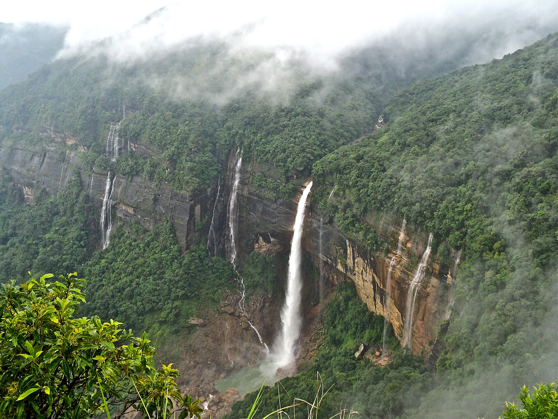
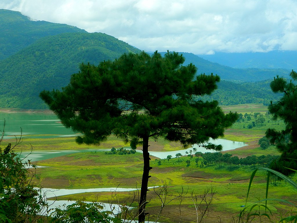
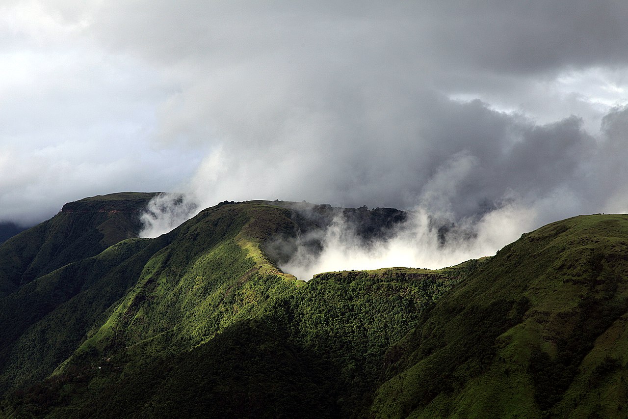
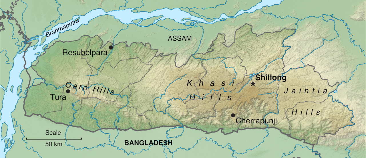
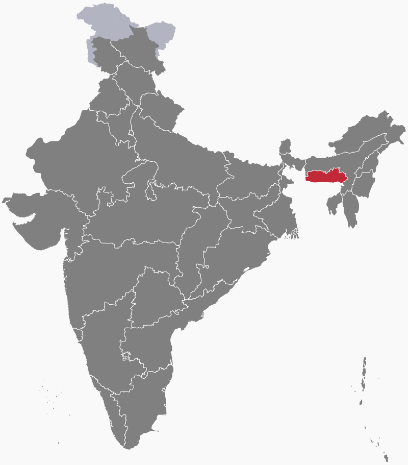
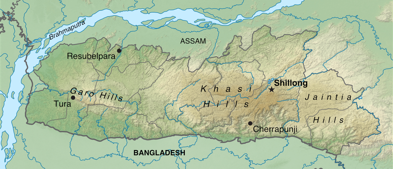
Meghalaya is a state in northeast India. It occupies the Meghalaya (or Shillong) Plateau, an upland region made up of the Khasi, Garo and Jaintia hills. When the the southwest monsoon arrives in June, the high ground forces the moist winds upwards, causing them to condense into clouds and release heavy rainfall. Because of this, Meghalaya is the wettest region of India—and the world—with an average of 1200 centimetres (470 inches) of rain a year in its wettest areas. About 70% of the state is forested.
History
The Khasi, Garo and Jaintia peoples once had their own kingdoms on the Meghalaya Plateau. These came under British rule in the early 19th century. Following Indian independence in 1947, the region became part of the state of Assam. In 1972, two districts were separated off from Assam to form the separate state of Meghalaya. The region had been given this name, which means "the abode of clouds", by Indian geographer S.P. Chatterjee in 1936.
People
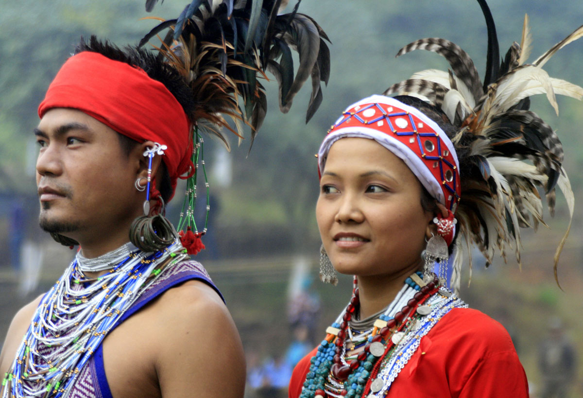
Tribal people make up the majority of Meghalaya's population. The Khasis are the largest group, followed by the Garos and the Jaintias (or Pnar). Around 90% of Garos, nearly 80% of Khasis and 60% of Jaintias are Christian—the result of conversions by missionaries during the British colonial era. Other tribal peoples follow Hinduism.

Economy
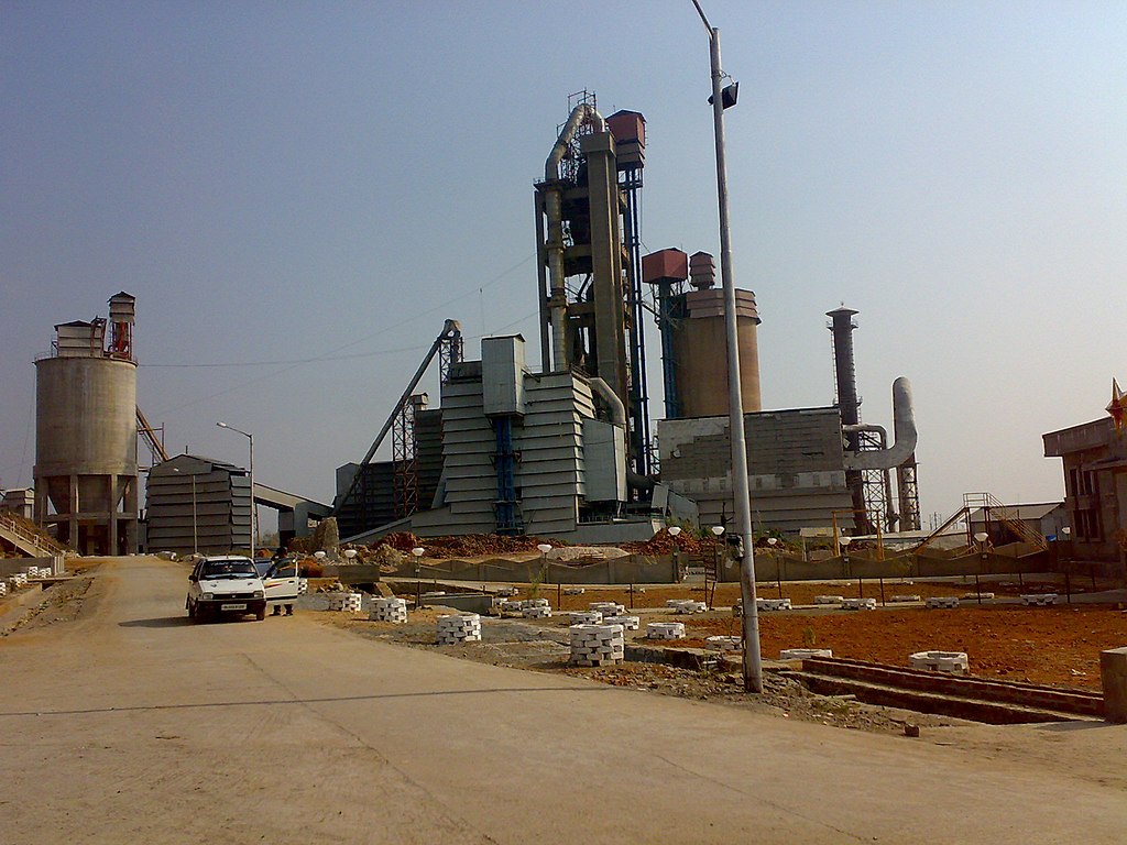
Although only 10% of the area of Meghalaya is under cultivation, about 80% of its inhabitants depend entirely on farming for their livelihood. Rice is the dominant food crop, followed by maize and wheat. Fruits, herbs and spices are some of the important cash crops. With its abundant rains and fast-flowing rivers, the state has great—but so far largely unused—hydropower potential. Meghalaya also has plentiful reserves of limestone, used as a raw material in cement manufacturing plants.
Consultant: Nicholas Harris
Facts about Meghalaya
Area 22,429 sq km (8660 sq miles) Rank: 24th
Population 3,417,000 Rank: 22nd
Capital and largest city Shillong (pop. 143,229)
Highest point Peak in Lushai Hills 1965 m (6447 ft)
Main languages Khasi (34%), Garo (32%), Pnar or Jaintia (11%), Bengali (6%)
Main religions Christianity (75%), Hinduism (12%), Islam (4%)
State bird Hill myna
State flower Lady's slipper orchid
State mammal Clouded leopard
State tree Indian Gamhar

pics
Without in any way limiting Q-files Ltd’s exclusive rights under copyright, any use of this publication to “train” generative artificial intelligence (AI) technologies to generate text is expressly prohibited. Q-files Ltd reserves all rights to license use of this work for generative AI training and development of machine learning language models.