
States and territories of India

CITE
We have made every effort to follow citation style rules, but there may be some minor differences. If in doubt, please refer to the appropriate citation style manual.
Assam. (2026). In Q-files Encyclopedia, Geography, States and territories of India. Retrieved from
https://www.q-files.com/geography/states-and-territories-of-india/assam
"Assam." Geography, States and territories of India, Q-files Encyclopedia, 31 Mar. 2026.
https://www.q-files.com/geography/states-and-territories-of-india/assam.
Accessed 20 Oct. 2026.
Assam 2026. Geography, States and territories of India. Retrieved 20 October 2026, from
https://www.q-files.com/geography/states-and-territories-of-india/assam
Geography, States and territories of India, s.v. "Assam," accessed October 20, 2026.
https://www.q-files.com/geography/states-and-territories-of-india/assam


Assam
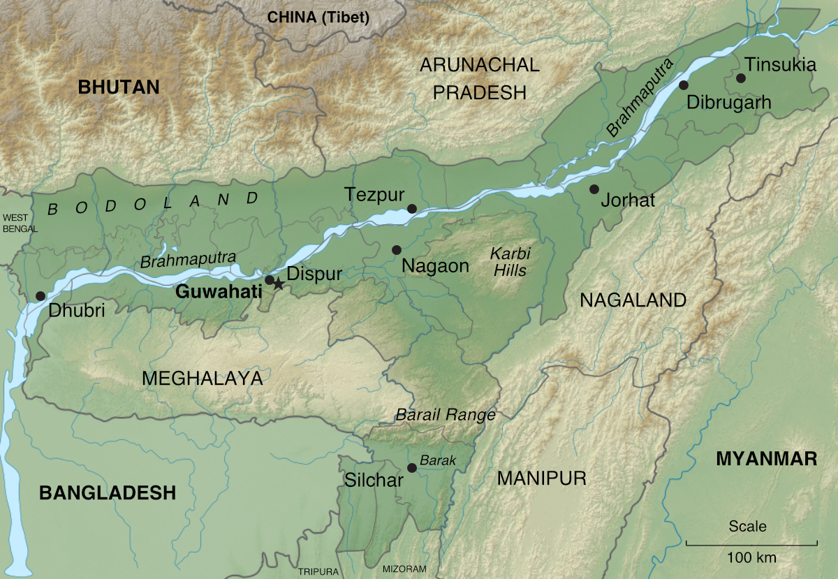
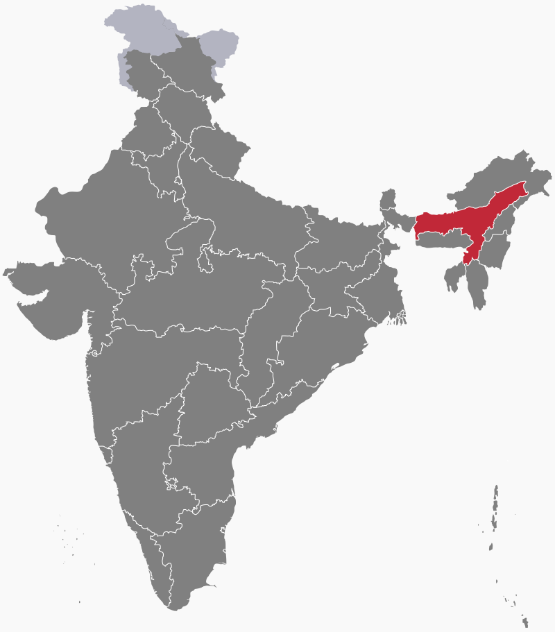
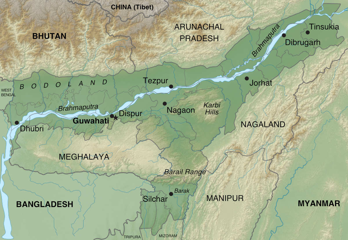
Assam is a state in northeastern India. It lies to the south of the Himalayas, occupying the valleys of the Brahmaputra and Barak rivers. It is linked to West Bengal and the rest of India via the Siliguri Corridor, a 22-kilometre-wide (14-mile) neck of land. Dispur, a suburb of Assam's largest city, Guwahati, became the capital of the state in 1973, after Meghalaya—in which Assam's former capital, Shillong, is located—was carved off from Assam to become a separate state in 1972.
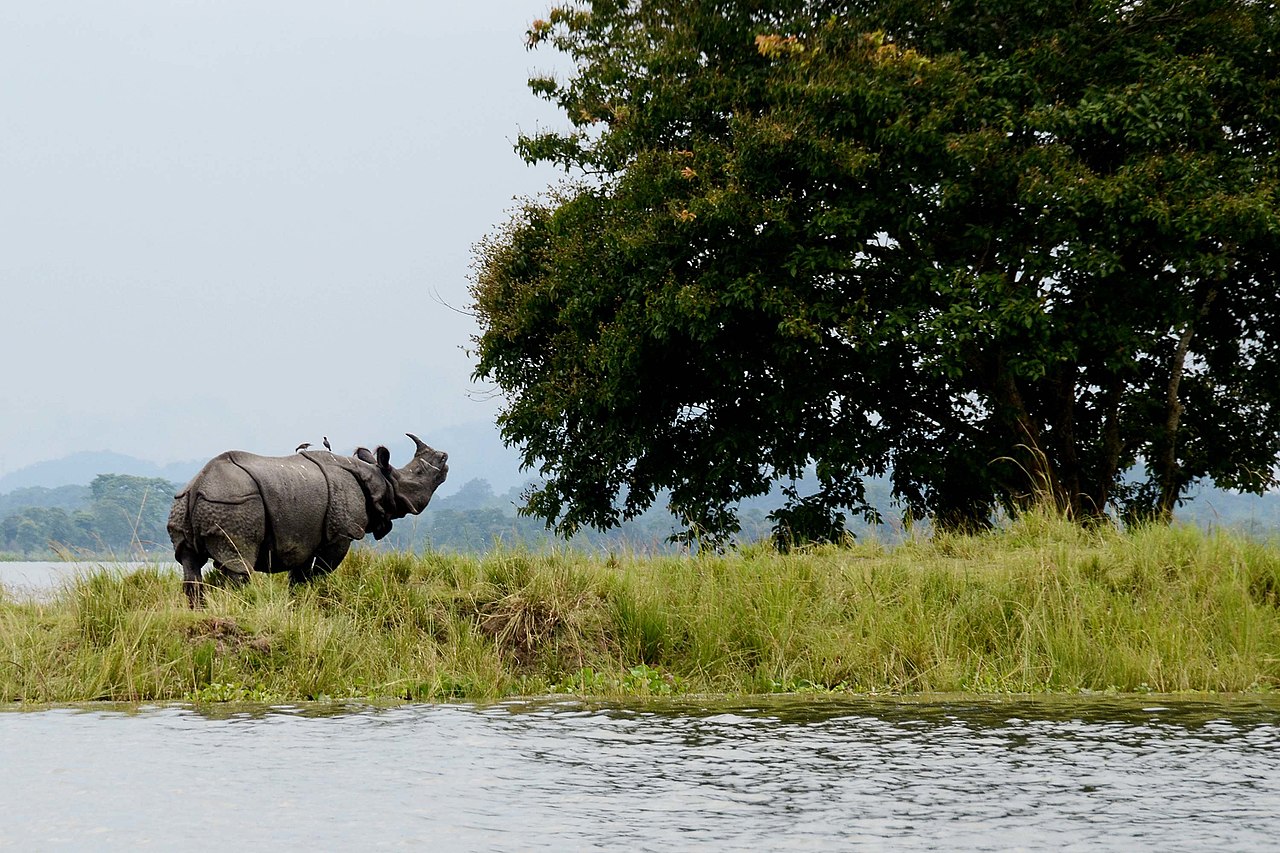
Geography

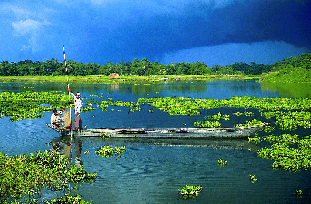
The Brahmaputra Plain dominates much of Assam's land area. As the Brahmaputra enters the state from the east, it becomes a braided river, measuring up to 16 kilometres (10 miles) wide in places. The river flows west through Assam over a distance of approximately 650 kilometres (1000 miles). The valley it runs through separates the the Himalayas to the north from the Patkai Range, the Karbi Hills and the Meghalaya Plateau to the south. Most of Assam’s population lives in this valley.
The Brahmaputra and its tributaries flood each year. The alluvium they leave behind after the floodwaters recede enriches the soil. However, in periods of excessive flooding, the floodwaters may engulf settlements, farmland, bridges, railways and roads, causing extensive damage to crops, buildings and even loss of life.

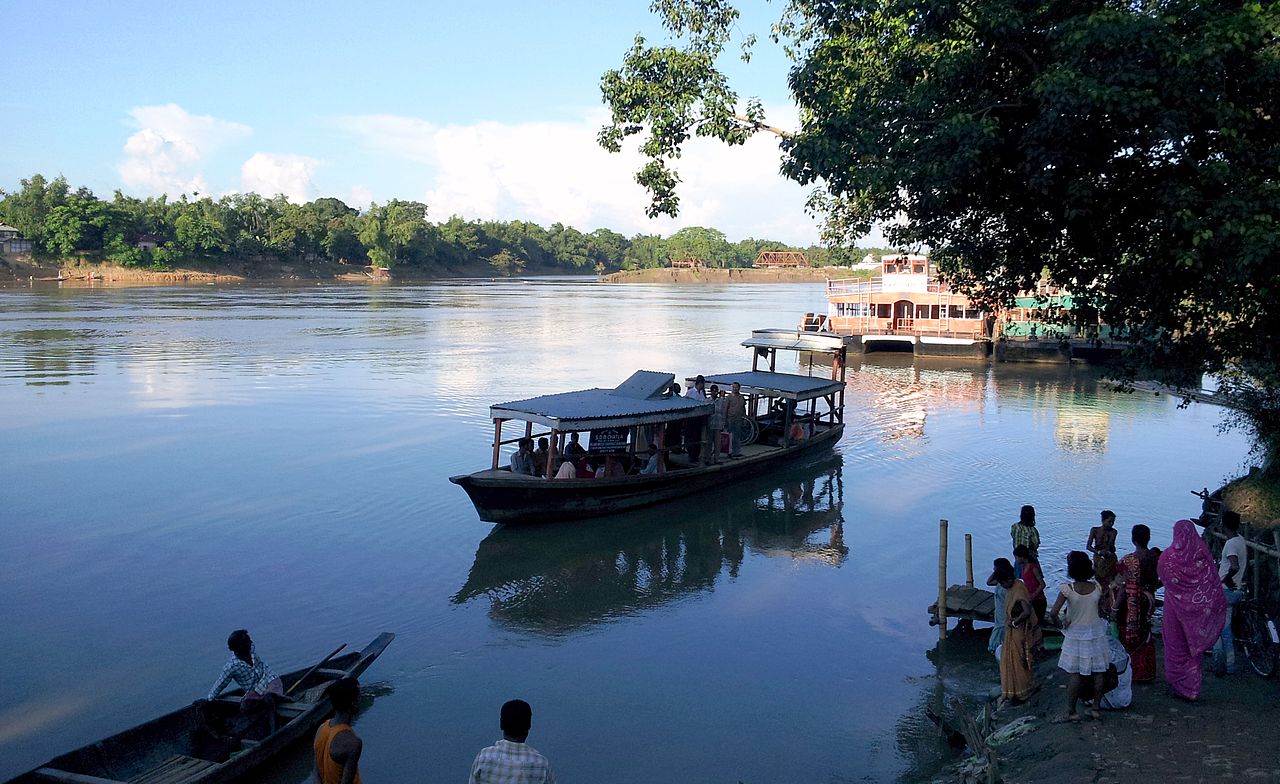
Separated from the Brahmaputra Plain by the Barail Range in southern Assam lies the Barak valley. The River Barak flows across this plain and enters Bangladesh where it eventually forms the River Meghna and flows into the Ganges Delta. The inhabitants of this region of Assam are mostly Bengali-speaking.
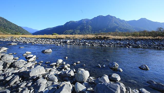
Climate
Assam has a humid subtropical climate. Summer, a period of high humidity and frequent showers, begins in March and extends until end of June. High temperatures average between 35 and 38°C (95 to 100°F). The arrival of the southwest monsoon brings lower temperatures, and—due to the effect of the surrounding uplands causing the rain-bearing air to rise and condense—extremely high rainfall. Annual totals average around 180 centimetres (70 inches) in the west and around 300 centimetres (120 inches) in the east. Thunderstorms, known locally as bordoisila, occur on most afternoons.

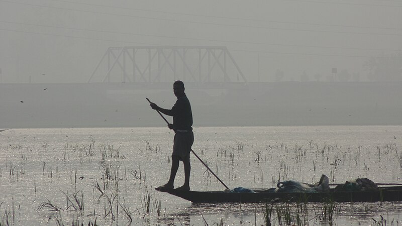
Winter, which runs from November to February, brings foggy weather, lower than average rainfall and chilly temperatures, lows averaging between around 6 to 8°C (43 to 46°F).
Economy
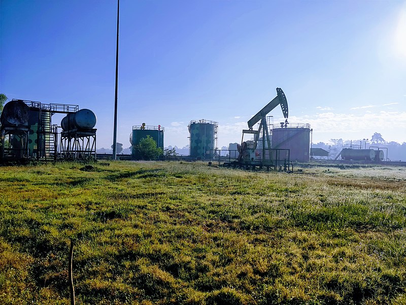
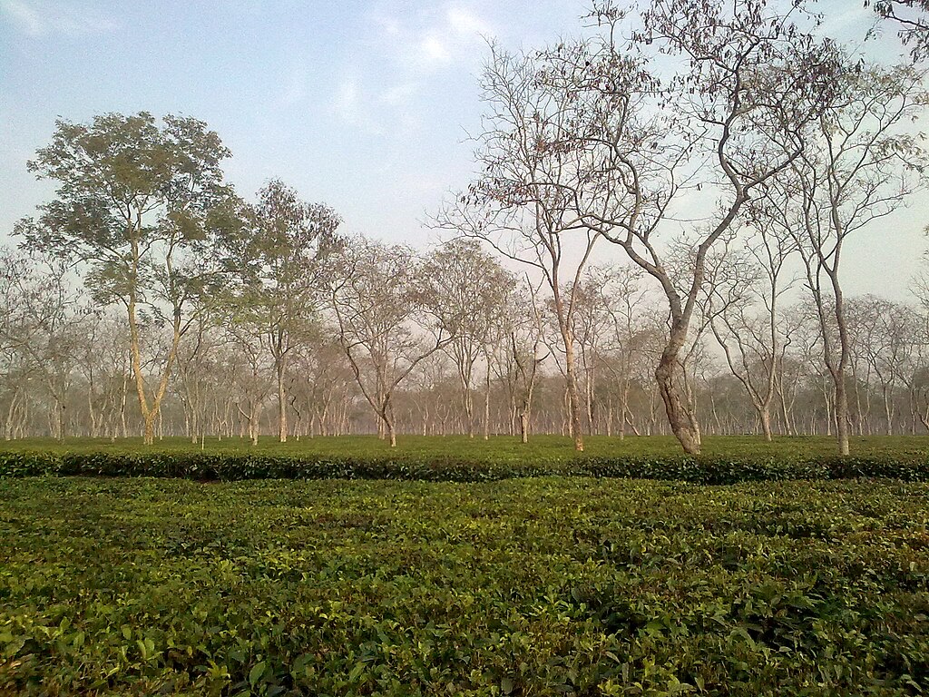
Assam's economy is based on agriculture and oil. Assam produces more than half of India's tea. The oilfields of eastern Assam hold about a quarter of the country's oil reserves, and produce about 12% of its total petroleum. There are oil refineries in Digboi, Guwahati, Bongaigaon and Numaligarh. Other industries include the manufacture of fertilizers, petrochemicals, paper, textiles (including Assam silk), sugar, cement and cosmetics.

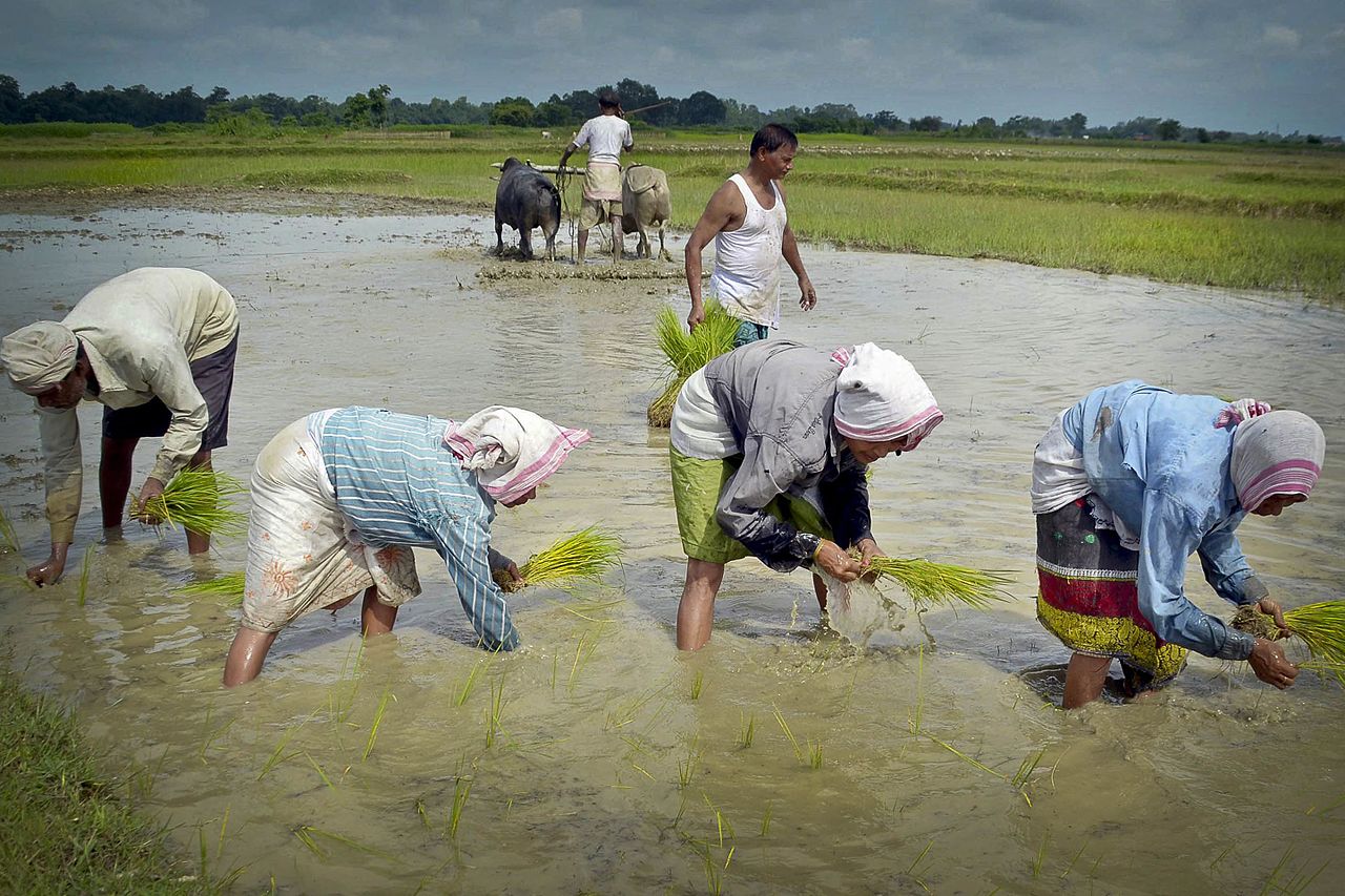
Agriculture accounts for more than a third of Assam's income and employs 69% of its workforce. Besides Assam tea, the state's farmers grow rice, rapeseed, mustard seed, jute, potatoes, bananas, areca nuts and sugar cane. Floods in Assam greatly affect the farmers and the families dependent on agriculture because of the large-scale damage to crops and fields by floodwaters.
Despite the fertility of its farmland and rich mineral reserves, Assam's per capita GDP lags significantly behind that of India as a whole. There are high rates of unemployment and low wages—partly a result of illegal immigration, especially from neighbouring Bangladesh—in unskilled jobs.


History
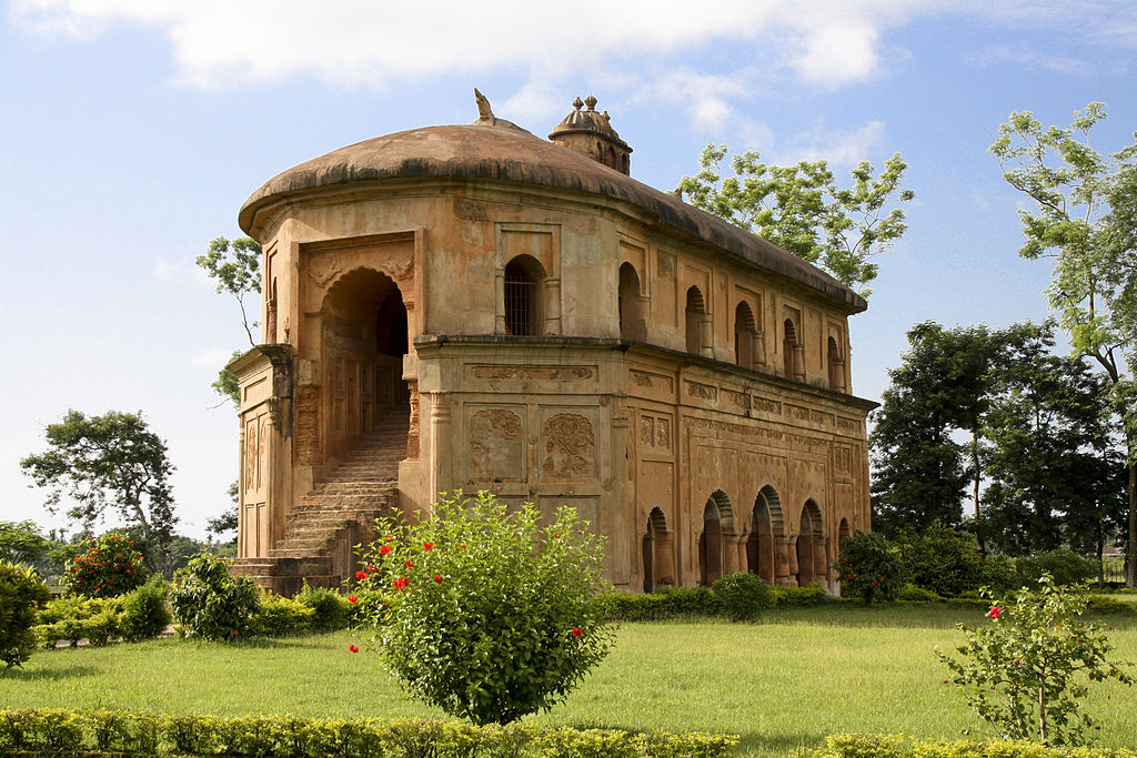
In the classical period and up to the 12th century, the region roughly matching present-day Assam was known as Kamarupa. Emerging in eastern Kamarupa in the early 13th century, the Ahom Kingdom came to dominate the entire Brahmaputra Valley, the region that is today known as Assam. The Ahom monarchs expanded their rule across the region for 600 years, defeating the neighbouring Chuti and Kachari kingdoms and resisting conquest by the Mughals in the 17th century.
By the early 19th century, the Ahom Kingdom, now severely weakened following the Moamoria rebellion and civil war (1769–1805), finally fell to Burmese invaders, who unleashed a reign of terror on the Assamese people.

After the First Anglo-Burmese War (1824–26), the region was gradually taken under the control of the British East India Company. From 1839 onwards, large areas of the Assamese territory were turned over to tea plantations by the British, especially in the east, where the soil and the climate were most suitable. Labourers imported from central and eastern parts of India were made to live and work under poor conditions.
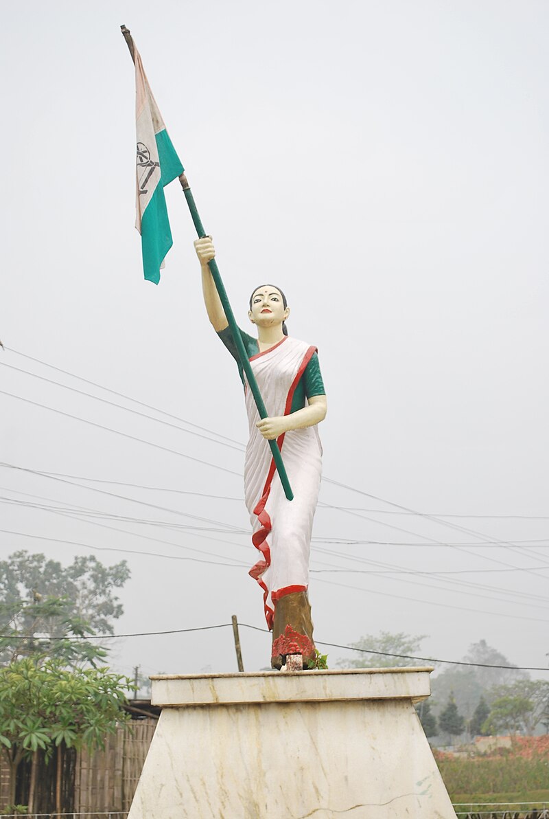
British administrators incorporated Assam into the new province of Eastern Bengal and Assam in 1905 after the partition of Bengal (1905–11). It was re-established as Assam Province in 1912.
Following Indian independence in 1947, Assam became a state of India, the Sylhet district having been given up to East Pakistan (now Bangladesh). The new states of Nagaland, Meghalaya and Tripura were separated off from Assam in the 1960s and 70s. In 1972, Arunachal Pradesh (the North-East Frontier Agency) and Mizoram (from the Mizo Hills in the south) were carved out from Assam as union territories. Both became states in 1986.
Consultant: Nicholas Harris
Facts about Assam
Area 78,438 sq km (30,285 sq miles) Rank: 16th
Highest point Laike, Barail Range 1959 m (6425 ft)
Population 36,493,000 Rank: 14th
Capital Dispur (pop. 534,872)
Largest cities Guwahati (including Dispur, pop. 968,549), Silchar (229,136), Dibrugarh (154,296), Jorhat (153,889), Bongaigaon (139,650)
Main languages Assamese (48%), Bengali (29%), Bodo (5%), Hindi (3%), Sadri (2%), Mishing (2%), Nepali (2%)
Main religions Hinduism (61%), Islam (34%), Christianity (4%)
State bird White-winged duck
State flower Foxtail orchid
State mammal Indian rhinoceros
State tree Hollong

pics

Without in any way limiting Q-files Ltd’s exclusive rights under copyright, any use of this publication to “train” generative artificial intelligence (AI) technologies to generate text is expressly prohibited. Q-files Ltd reserves all rights to license use of this work for generative AI training and development of machine learning language models.