
States and territories of India

CITE
We have made every effort to follow citation style rules, but there may be some minor differences. If in doubt, please refer to the appropriate citation style manual.
Odisha. (2026). In Q-files Encyclopedia, Geography, States and territories of India. Retrieved from
https://www.q-files.com/geography/states-and-territories-of-india/odisha
"Odisha." Geography, States and territories of India, Q-files Encyclopedia, 31 Mar. 2026.
https://www.q-files.com/geography/states-and-territories-of-india/odisha.
Accessed 13 Sep. 2026.
Odisha 2026. Geography, States and territories of India. Retrieved 13 September 2026, from
https://www.q-files.com/geography/states-and-territories-of-india/odisha
Geography, States and territories of India, s.v. "Odisha," accessed September 13, 2026.
https://www.q-files.com/geography/states-and-territories-of-india/odisha


Odisha
Odisha is a state in eastern India. Following India's independence, most of the Orissa Tributary States, a group of princely states, joined the state of Orissa (as it was then called) in 1948. In 2011, the English name of the state was changed from Orissa to Odisha, and the name of its language from Oriya to Odia, by Act of Parliament. The changes in spelling were made with the intention of making both English and Hindi versions closer to the words' pronunciation in the Odia language.
Geography
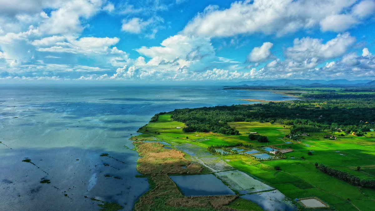
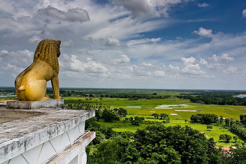
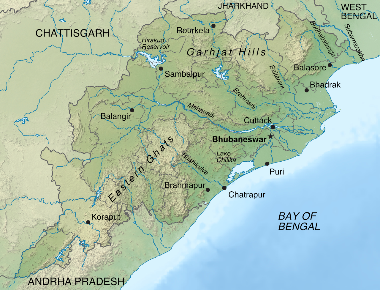
A fertile coastal plain, the Utkal Plains, borders the Bay of Bengal in Odisha. This area is formed by the merging of the floodplains of the state's six major rivers: the Mahanadi, Brahmani, Budhabalanga, Subarnarekha, Baitarani and Rushikulya. Together they are known as the "Gift of Six Rivers".
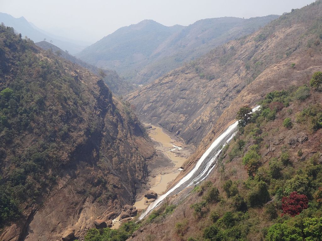
Forested mountainous highlands, part of the Eastern Ghats, and plateau regions, known as the Garhjat Hills, lie in the centre of the state, taking up about three-quarters of its area. The rivers of Odisha have cut deep valleys into the plateau. Rolling uplands, part of the Chhota Nagpur Plateau, stretch across western and northwestern parts of Odisha.

Climate
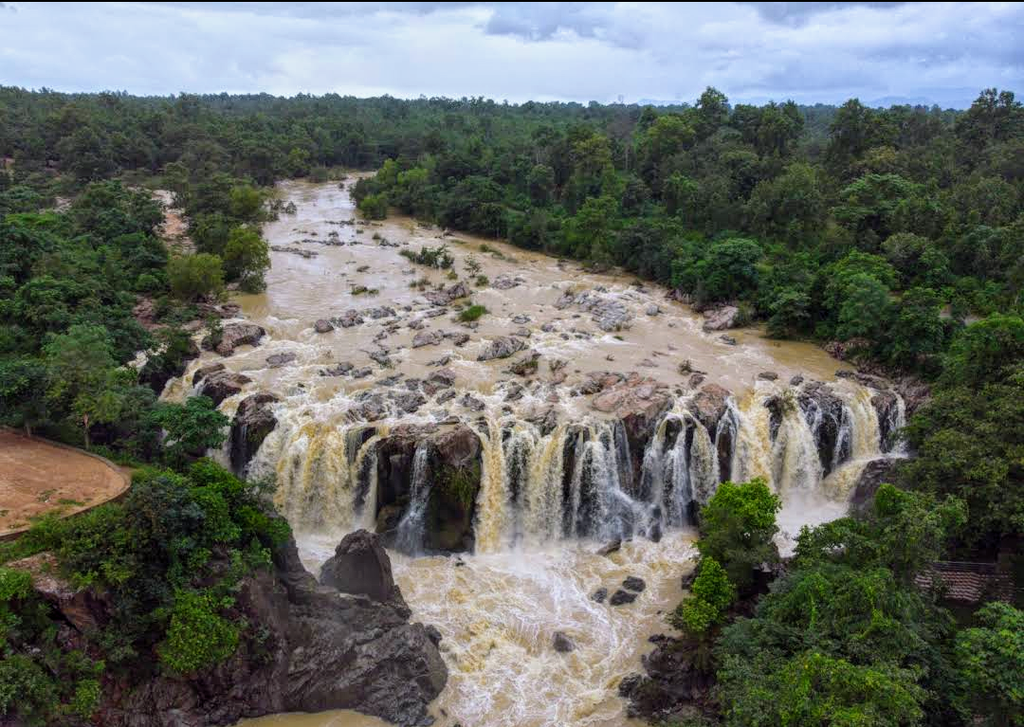
Summer, a dry season with temperatures frequently exceeding 40°C (104°F), lasts from March to June. The southwest monsoon arrives in June, lasting until September, bringing heavy rainfall—averaging around 150 centimetres (60 inches) per year—and slightly lower temperatures. July is the wettest month, during which the major rivers sometimes flood. Temperatures are cooler between October and February. In coastal districts, they normally range between 12 and 14°C (54–57°F), but may drop to 3-4°C (37–39°F) in the southwestern highlands.

Economy
Around 62% of Odisha's labour force work in agriculture. Rice, grown on more than three-quarters of the area under cultivation, is the staple crop. Cash crops cultivated include jute, oil seeds, pulses, sugar cane, tea, rubber, cotton and soya beans.

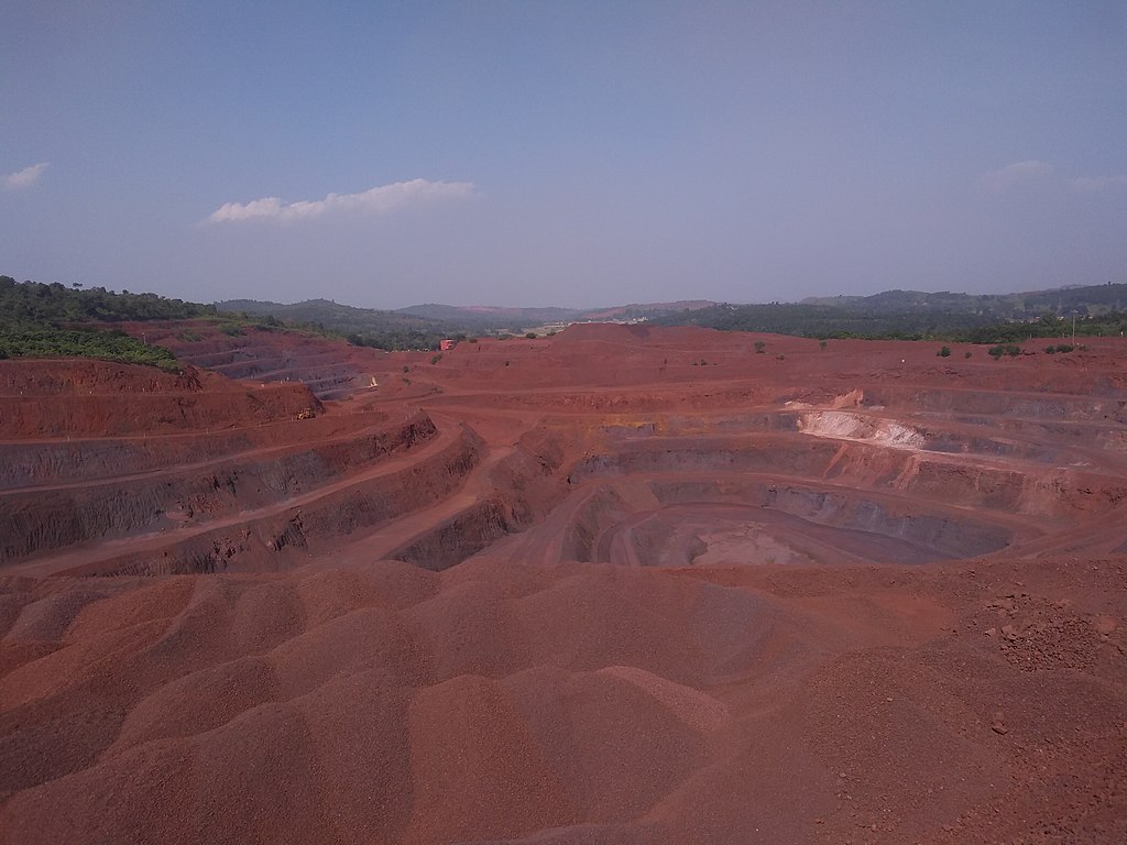
Most of Odisha's industries are based around the state's mineral resources. Odisha has 25% of India's reserves of iron, a third of its bauxite and a fifth of its coal (Bandhabahal is a major area of open-cast coal mines). Steel and aluminium production are major industries. Electrical power production, split between coal-fired (75%) and hydropower (25%), is also significant.
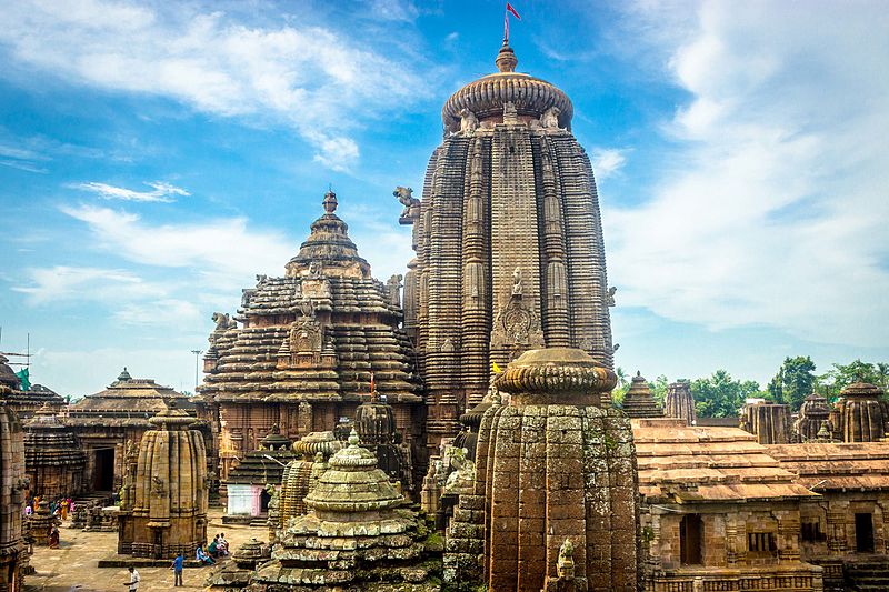
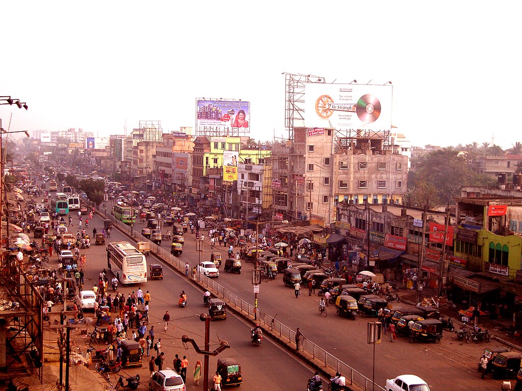
Bhubaneswar, "City of Temples", a modern city designed in 1946, is a hub of information technology and, along with its nearby "twin", the historic city of Cuttack, a tourism hotspot.
History
The ancient kingdom of Kalinga (c.1100–261 BCE) coincides with the borders of present-day Odisha. Ashoka, the Mauryan emperor, conquered it in the Kalinga War in 261 BCE. The terrible bloodshed and suffering of the war is said to have deeply affected Ashoka. As a consequence, he became a pacifist and converted to Buddhism.
The region was ruled by a succession of independent dynasties through the Middle Ages. In 1568, it came under the control of the Sultanate of Bengal, before falling to the Mughal Empire in the 1590s. In 1751, the Nawab of Bengal ceded the region to the expanding Maratha Empire.

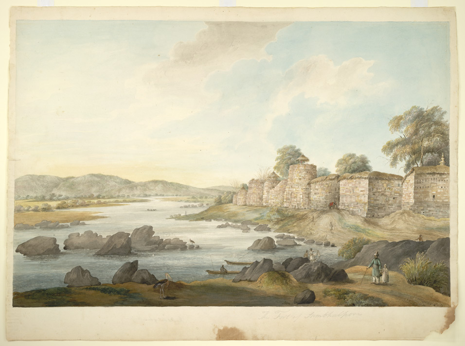
By 1760, the British East India Company had occupied the Northern Circars, the southern coastal region of Orissa (the English name for Odisha), after their victory in the Second Carnatic War. The Company later incorporated the territory into the Madras Presidency. In 1803, the British took over Puri-Cuttack region of Orissa from the Marathas during the Second Anglo-Maratha War. The northern and western parts of Orissa were then incorporated into the Bengal Presidency.

Consultant: Nicholas Harris
Facts about Odisha
Area 155,707 sq km (60,119 sq miles) Rank: 8th
Highest point Deomali 1672 m (5486 ft)
Population 46,953,000 Rank: 11th
Capital and largest city Bhubaneswar pop. 881,988
Other large cities Cuttack (pop. 658,986), Rourkela (552,970), Brahmapur (355,823), Sambalpur (270,331)
Main languages Odia (81%), Kui (2%), Santali (2%)
Main religions Hinduism (94%), Christianity (3%), Islam (2%)
State bird Indian roller
State flower Asoka
State mammal Sambar
State tree Sacred fig


pics
Without in any way limiting Q-files Ltd’s exclusive rights under copyright, any use of this publication to “train” generative artificial intelligence (AI) technologies to generate text is expressly prohibited. Q-files Ltd reserves all rights to license use of this work for generative AI training and development of machine learning language models.