
Australian states and territories

CITE
We have made every effort to follow citation style rules, but there may be some minor differences. If in doubt, please refer to the appropriate citation style manual.
Australian external territories. (2026). In Q-files Encyclopedia, Geography, Australian states and territories. Retrieved from
https://www.q-files.com/geography/australian-states-and-territories/australian-external-territories
"Australian external territories." Geography, Australian states and territories, Q-files Encyclopedia, 1 Apr. 2026.
https://www.q-files.com/geography/australian-states-and-territories/australian-external-territories.
Accessed 21 Sep. 2026.
Australian external territories 2026. Geography, Australian states and territories. Retrieved 21 September 2026, from
https://www.q-files.com/geography/australian-states-and-territories/australian-external-territories
Geography, Australian states and territories, s.v. "Australian external territories," accessed September 21, 2026.
https://www.q-files.com/geography/australian-states-and-territories/australian-external-territories


Australian external territories
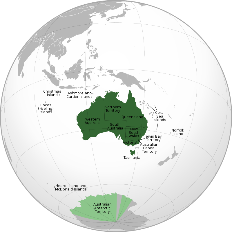
Australia has seven external territories, which are not part of the Australian mainland or of any state. Three of them, Christmas Island, Cocos (Keeling) Islands and Norfolk Island, have a small permanent population. The rest are mostly uninhabited. The low-lying coral atolls and reefs, called Ashmore and Cartier Islands, and the volcanic Heard Island and McDonald Islands, lie in the Indian Ocean. The Coral Sea Islands lie just off the Great Barrier Reef in the Coral Sea, while Norfolk Island lies in the South Pacific Ocean between New Zealand and New Caledonia. The Australian Antarctic Territory is a large segment of Antarctica. Like other countries' claim of territorial sovereignty over parts of Antarctica, it is not internationally recognized.
Christmas Island
Christmas Island is a small island in the Indian Ocean, close to Java, part of Indonesia. Because of the island's position close to the equator, it has a hot, tropical climate. It is covered in rainforest, with nearly two-thirds of it is protected by a national park. The island is important habitat for land crabs—there are 13 different species—and sea birds. Nearly all the island’s people are of Chinese or Malay descent. Mandarin Chinese and Malay are widely spoken languages along with English.
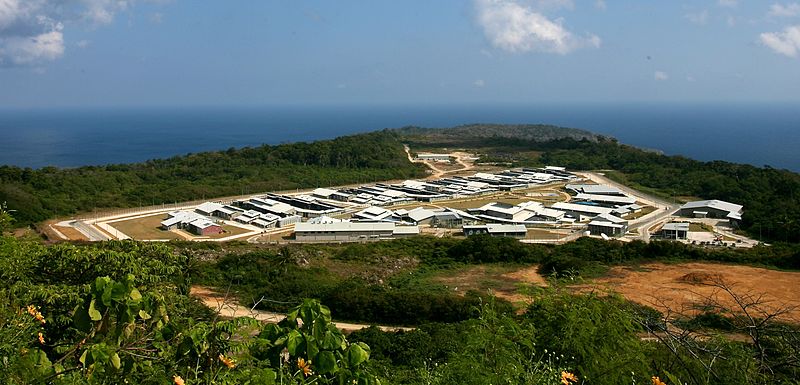
Britain colonized Christmas Island in 1888, after discovering it had large reserves of phosphate, an important mineral used as a fertilizer. Britain held the island until 1958, when control was passed to Australia. Phosphate mining remains the island's main industry. Since 2005 the Australian government has created a large detention centre on Christmas island, where it temporarily houses asylum seekers and refugees to Australia.

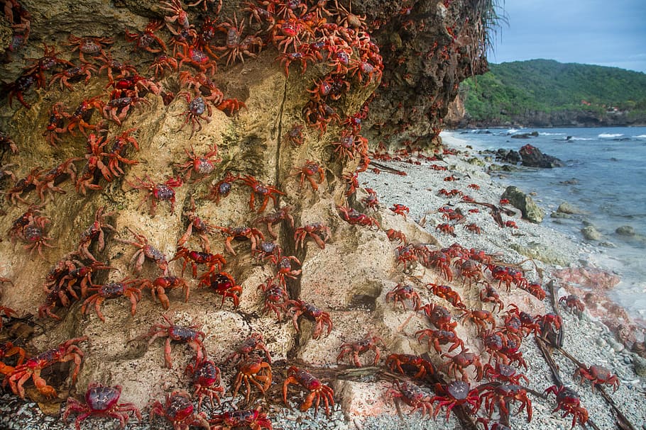
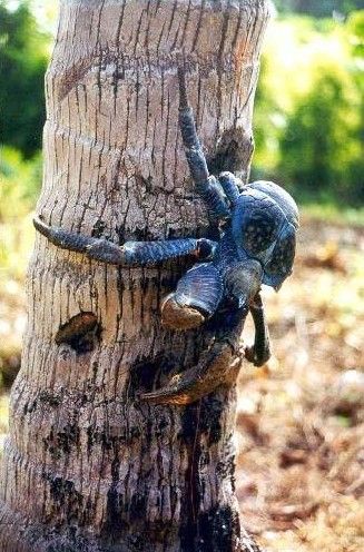
Red crabs
Christmas Island is known for its wildlife, including many endemic species (those found nowhere else on Earth). One of these is the Christmas Island red crab, which lives in its rainforests. Every year, around 100 million red crabs migrate from the forests to the sea to lay their eggs, a spectacular natural event that lasts around a week. To protect them on their journey to the sea, locals have built a five-metre (16-foot) high “crab bridge” over the road to stop the crabs getting crushed by cars.
Area 135 sq km (52 sq mi)
Highest point Murray Hill 361 m (1184 ft)
Population 1843
Capital The Settlement (Flying Fish Cove)
Languages English, Mandarin, Malay
Religions Muslim 19.4%, Buddhist 18.3%, Christian 18.6%, others and none 46.9%
Ethnicity Chinese 70%, Europe 20%, Malay 10%
Currency Australian dollar (AUD)
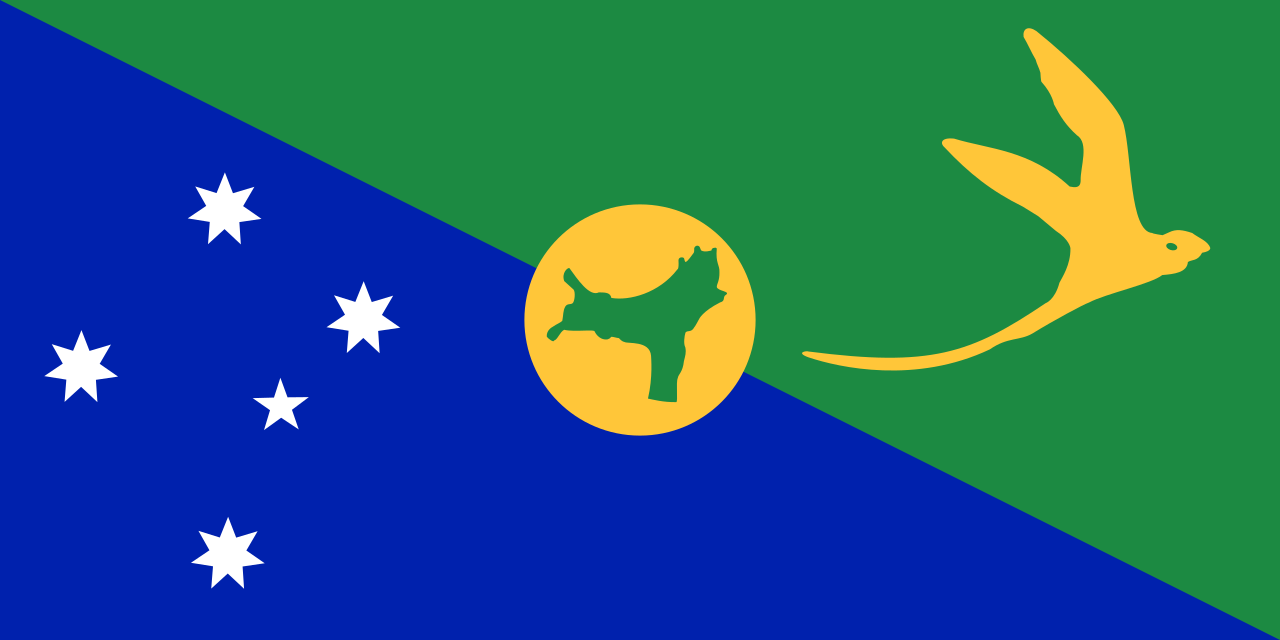
Cocos (Keeling) Islands
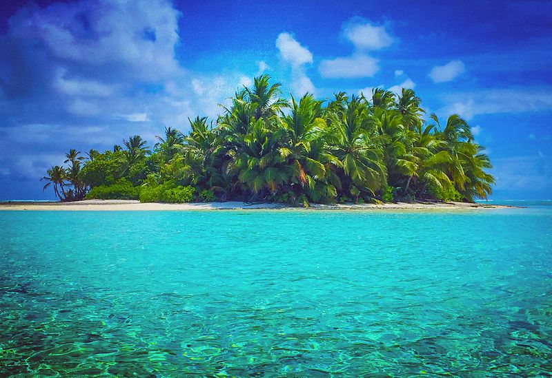
From 1827 to 1978, the previously uninhabited Cocos Islands (also known as the Keeling Islands) were ruled by a Scottish family, the Clunies-Ross, as a private estate. Sovereignty over the Cocos (Keeling) Islands was transferred from the UK to Australia in 1955. The archipelago lies to the southwest of Sumatra, part of Indonesia. The territory consists of two coral atolls, made up of 27 islands, of which only two, West Island and Home Island, are inhabited. The population of around 600 people are mostly of Malay descent, and speak a dialect of Malay. (For flag, see Q-pics.)
Norfolk Island
Originally settled—but long abandoned—by Polynesians, Norfolk Island became a possession of Britain, along with Australia itself, in 1788. The island served as a penal colony for convicts from 1788 until 1855, (apart from an 11-year gap,1814–25). Many people moved to Norfolk Island from Pitcairn in 1856: the entire Pitcairn population was settled there in that year, although some returned shortly afterwards.

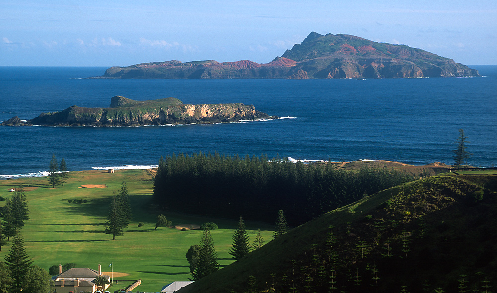
The islanders speak both English and a creole language called “Norfuk”—a mixture of 18th century English and Tahitian. Today, many still make a living from fishing and farming. The population is shrinking as many young people emigrate to Australia or New Zealand. Enjoying a marine subtropical climate, the island has a steadily growing tourist industry.
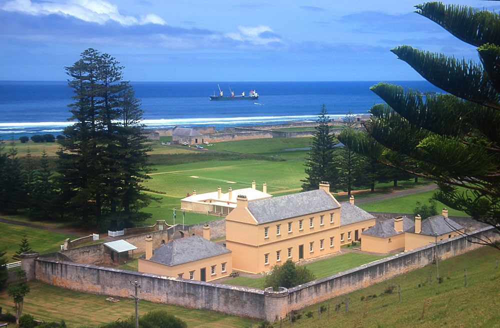
Area 35 sq km (13.4 sq miles)
Highest point Mount Bates 319 m (1047 ft)
Population 1748
Capital Kingston
Other towns Burnt Pine
Languages English, Norfuk
Religions Christian 61.3%, other / none 38.7%
Ethnicity European, mixed European-Tahitian
Currency Australian dollar (AUD)

Consultant: Nicholas Harris
pics

Without in any way limiting Q-files Ltd’s exclusive rights under copyright, any use of this publication to “train” generative artificial intelligence (AI) technologies to generate text is expressly prohibited. Q-files Ltd reserves all rights to license use of this work for generative AI training and development of machine learning language models.