
Geography of the US
Interior Plains
The Interior Plains extend from the Appalachian Highlands in the east across the Great Plains as far as the Rocky Mountains in the west, and from the Gulf Coastal Plain in the south to the border with Canada in the north (and onwards to the Arctic Ocean). Geologically, the Interior Plains make up the southern portion of Laurentia, the North American craton, a region that has remained stable since the Precambrian. Deep beneath the surface of the plains lie metamorphic and igneous rocks dating from this time. The only place where these rocks can be seen at the surface is the Black Hills of South Dakota. Interior Laurentia became a basin for eroded sediments from mountains that were pushed up on its flanks since around 650 million years ago. Over millions of years, these compacted into sedimentary rock layers which overlie the ancient rocks.
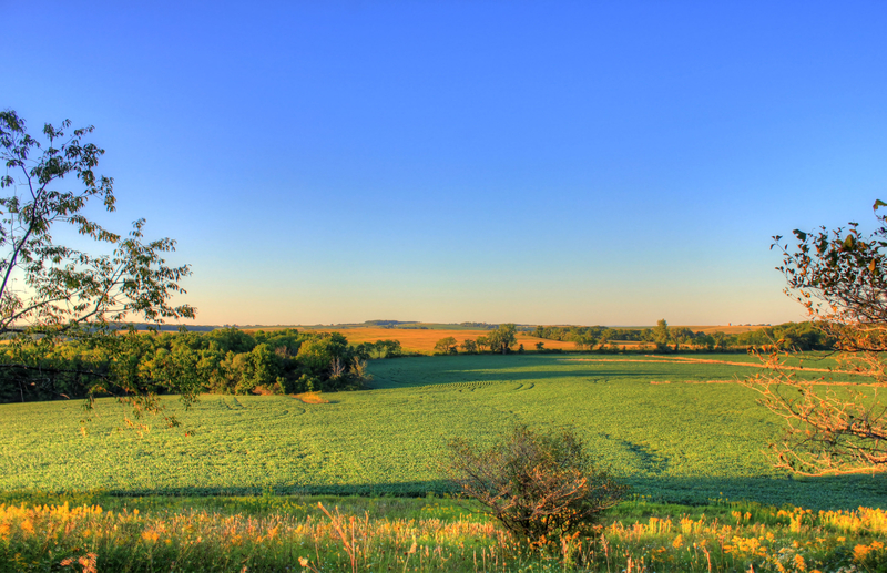
Mississippi Basin


The Interior Plains feature the rolling topography, river valleys and low hills of the upper Mississippi River basin. The fertile loess soils found across the region come from the wind-blown dust that was created at the end of the Pleistocene Ice Ages around 11,500 years ago. As the Laurentide Ice Sheet and Rocky Mountains glaciers melted, they produced massive amounts of alluvium—sand, silt and clay—that rivers washed into major valleys. Strong winds then carried the fine silt across the plains, where it accumulated to form the rich loess soils that make the Interior Plains one of the most important farming areas in the United States.
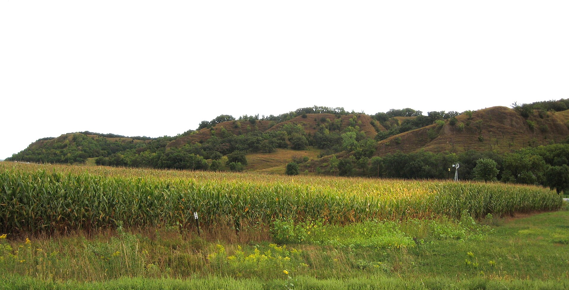
Great Plains
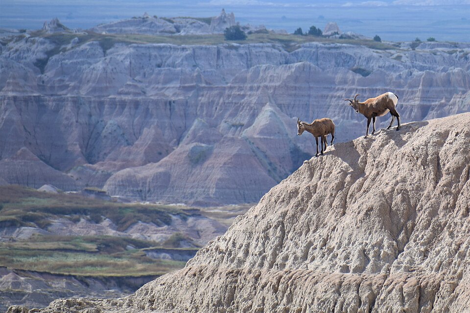
The Great Plains lie between the Mississippi River and the Rocky Mountains. The land rises gradually from less than a few hundred metres near the river to more than 1500 metres (a mile) high in the High Plains. Most of the land is flat or gently rolling, but in places there are isolated uplands. They include the Black Hills, so called because their covering of coniferous forest gives them a dark appearance when seen from distance, and Badlands, semi-arid terrain where softer sedimentary rocks have been extensively eroded. This type of landscape, featuring deep ravines separated by steep ridges, is found in Montana and North and South Dakota.
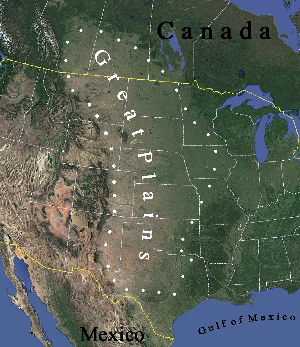
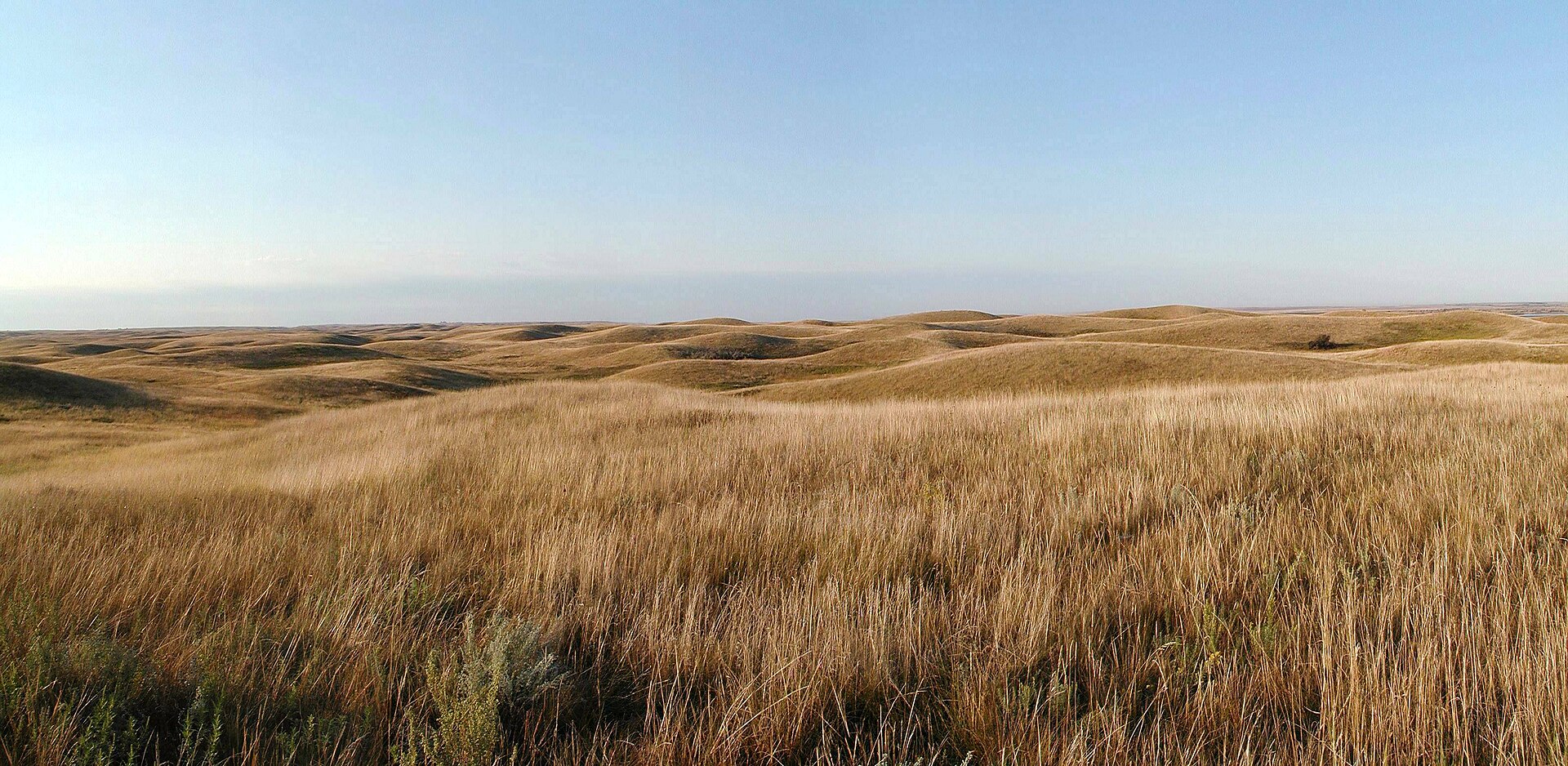
Moist air from the Gulf of Mexico brings rain to the eastern plains, but the western plains are drier. The original natural vegetation (large parts of the plains are now cultivated) was mainly grassland. Tallgrass prairie still grows in a few places in wetter eastern plains, while mixed-grass and shortgrass prairie covers extensive areas of the drier central and western High Plains.
Interior Highlands
Rising from the Interior plains are the Interior Highlands, a mountainous region spanning northern and western Arkansas, southern Missouri, eastern Oklahoma and southern Illinois. The upland area is divided in two by the Arkansas River: the Ozark Plateau, which includes the rugged Boston Mountains, lies to the north of it, with the Ouachita Mountains to the south.
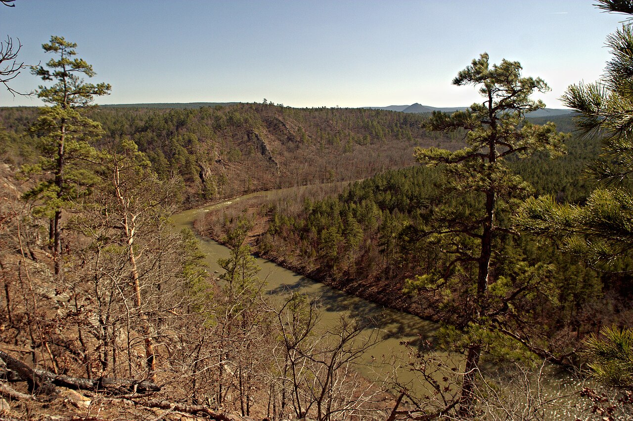

The Interior Highlands once formed a continuous mountain range with the Appalachians. Around 200–175 million years ago, the supercontinent of Pangaea, of which North America was part, began to break up. As landmasses pulled away from one another, rifting occurred. As a result, a trough formed between the southern Appalachians and the Ouachita-Ozark Highlands. The trough was later flooded by seawater. When sea levels later fell, the Mississippi extended its course into the trough, which gradually filled with alluvium. Today it is known as the Mississippi Embayment, and it forms part of the Gulf Coastal Plain.

Consultant: Nicholas Harris