
Geography of the US
Appalachian Highlands
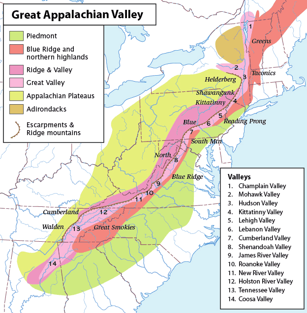
The Appalachian Mountains run from Alabama in the south northeastwards as far as Maine, continuing on into Canada. The range, consisting of rocks formed hundreds of millions of years ago, have been heavily eroded since, leaving the mountains lower and more rounded than the geologically more recent Rocky Mountains. The Appalachians are not a single range of peaks, but a broad upland area made up of several different regions (also called provinces): the Adirondacks, Appalachian Plateau, Valley and Ridge, Blue Ridge, Piedmont and New England Uplands. In the states of New York and Vermont there is a small portion of the St Lawrence Valley, which also contains most of Lake Champlain.


Formation
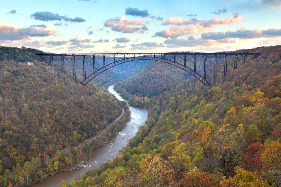
The Appalachians are the oldest mountain range in North America. Some rocky outcrops date back to the Precambrian. The first mountains in the region were created around 1.1 billion years ago when two ancient continents collided, causing the rocks to be folded and faulted. There have been several mountain-building episodes since then, each followed by a period of weathering and erosion, reducing the uplands to a level plain, known as a peneplain. The latest uplift began possibly as recently as 8 to 12 million years ago. As the land rose, rivers and streams cut downwards at a rapid pace, slicing through resistant rock layers to carve the deep valleys and gorges seen today.
Adirondack Mountains
With 46 peaks more than 4000 feet (1200 metres) high, the Adirondack Mountains form a roughly circular massif in northeastern New York state. Although the mountains are made from ancient rocks of the Canadian Shield, the massif was uplifted fairly recently in geological time, starting about 10 million years ago.

Appalachian Plateau
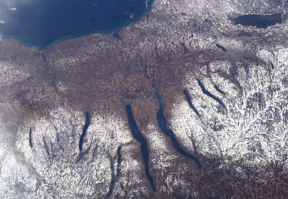
The Appalachian Plateau extends from the Adirondacks southwest to Alabama, forming the western flank of the Appalachian range. Composed of sedimentary rocks, including sandstones and shales as well as as layers of coal, the plateau has been been dissected by streams to form a rugged terrain. The northern portion, known as the Allegheny Plateau, contains, along its boundary with the Great Lakes Lowlands, the Finger Lakes, a group of 11 long, narrow lakes. They were gouged out of existing river valleys by the Laurentide Ice Sheet during the Pleistocene Ice Ages, then infilled by glacial meltwater.
Valley and Ridge
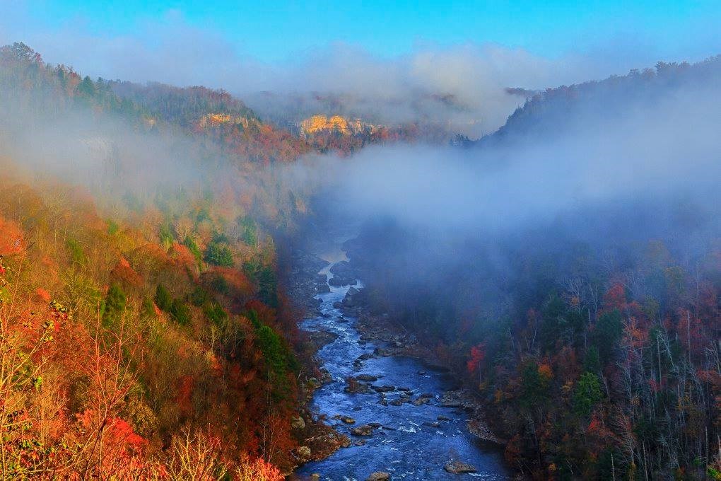
Lying to the east of the Appalachian Plateau, the Valley and Ridge region, extends from the St Lawrence Valley in New York state southwestwards as far as the Gulf Coastal Plain of central Alabama. It consists of long, parallel ridges and valleys formed from sedimentary rock layers. Limestone and shale, more easily eroded, make up the valleys, whereas resistant quartzite, sandstone and conglomerate form the ridges. Beds of anthracite (the most compacted form of coal) are found in Pennsylvania.


Separated from the Valley and Ridge region to the east by the Great Appalachian Valley—an enormous trough stretching from Quebec, Canada, in the northeast to Alabama in the southwest—are the Blue Ridge Mountains. They are so-called because of their smoky blue haze when seen from a distance, caused by gases emitted from the trees mixing with sunlight.
Piedmont
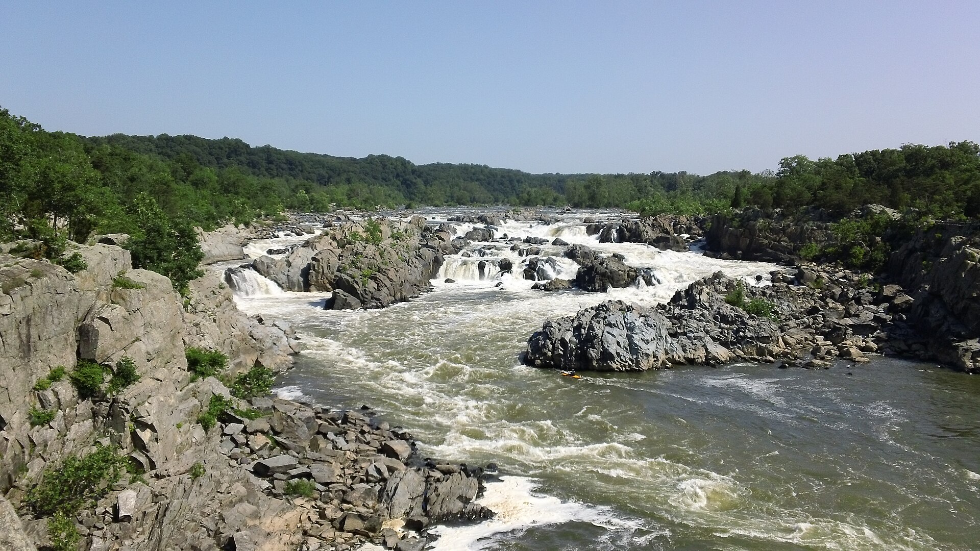
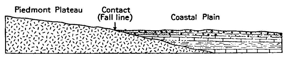
To the west of the Blue Ridge Mountains lie the rolling hills and valleys of the Piedmont, a name meaning “foot of the mountains”. Marking the Piedmont's boundary with the Atlantic Coastal Plain is the Atlantic Seaboard Fall Line. This is the point at which rivers flowing towards the Atlantic suddenly drop from harder metamorphic rocks to softer sedimentary rocks. Upstream of the Fall Line, the rivers are unnavigable, so port cities (including Philadelphia, Pennsylvania, Wilmington, Delaware, Richmond, Virginia and Columbus, Georgia) grew up where rivers cross this boundary. The rapids could also be used to power mills for factories.

New England Uplands
The New England Uplands run from the northernmost point of Maine as far south as Pennsylvania. The range includes the Green Mountains, the Taconic Mountains and, with the most rugged peaks, the White Mountains of New Hampshire. The Hudson River cuts a deep gorge through the Hudson Highlands, a southern extension of the Taconics, in New York state just north of New York City.
A large part of the New England Uplands was reduced to peneplain, before being uplifted then deeply dissected by rivers and streams. During the Pleistoce Ice Ages, the uplands were covered by an ice sheet, which rounded off of the sharp summits and gouged out many rock basin lakes.

Consultant: Nicholas Harris