
North America

CITE
We have made every effort to follow citation style rules, but there may be some minor differences. If in doubt, please refer to the appropriate citation style manual.
Dutch Caribbean territories. (2026). In Q-files Encyclopedia, Geography, North America. Retrieved from
https://www.q-files.com/geography/north-america/dutch-caribbean-territories
"Dutch Caribbean territories." Geography, North America, Q-files Encyclopedia, 5 May. 2026.
https://www.q-files.com/geography/north-america/dutch-caribbean-territories.
Accessed 13 Sep. 2026.
Dutch Caribbean territories 2026. Geography, North America. Retrieved 13 September 2026, from
https://www.q-files.com/geography/north-america/dutch-caribbean-territories
Geography, North America, s.v. "Dutch Caribbean territories," accessed September 13, 2026.
https://www.q-files.com/geography/north-america/dutch-caribbean-territories


Dutch Caribbean territories
The Caribbean islands were first settled by indigenous Amerindian peoples, the Taino (also called Arawak) and the Caribs. In 1492, Christopher Columbus landed in the Caribbean and claimed the region for Spain. The following year, the first Spanish settlements were established in the Caribbean. From the 1620s and 1630s onwards, privateers, pirates and settlers from England, France and the Netherlands established colonies and trading posts on the islands neglected by Spain. Over the next two centuries, Europeans set up sugar plantations and brought captive Africans to work on them as slaves. Slavery was abolished by the mid-19th century, but the islands remained under European rule. The Dutch Caribbean islands of Aruba, Bonaire, Curaçao, Sint Maarten, Saba and Sint Eustatius once formed the Netherlands Antilles, despite their separate locations. Since 2010, they have become separate territories, each with their own relationship to the Netherlands.


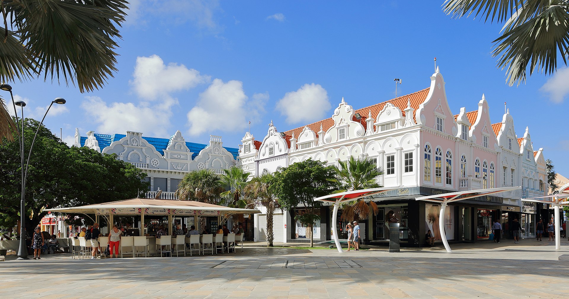
Aruba, Bonaire
and Curaçao
Known as the “ABC islands”, Aruba, Bonaire and Curaçao lie close together off the north coast of Venezuela. Aruba and Curaçao have their own parliament and prime minister, while Bonaire is governed directly by the Netherlands. The islands, particularly Bonaire, are popular snorkelling and scuba-diving resorts. They also host nesting grounds for flamingos and marine turtles. Wildlife sanctuaries and marine reserves help to protect the islands’ wildlife while encouraging ecotourism.

ARUBA
Population 105,264
Area 180 sq km (69 sq miles)
Highest point Mount Jamanota 188 m (617 ft)
Capital Oranjestad, pop. 34,980
Languages Papiamento (a creole), Dutch
Religions Christian (Roman Catholic) 45%, others and none 55%
Ethnicity mixed Amerindian/European/African 75%, black/African 15%, others 10%
Currency Aruban florin (AWG)
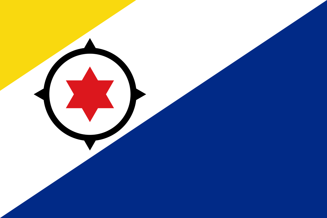
BONAIRE
Population 3061
Area 294 sq km (114 sq miles)
Highest point Mount Brandaris 240 m (790 ft)
Capital Kralendijk, pop. 3061
Languages Papiamento, Dutch
Religions Christian (Roman Catholic) 68%, Christian (Protestant) 16%, others and none 16%
Ethnicity Dutch, mixed Caribbean/Amerindian
Currency United States dollar (USD)

CURAÇAO
Population 149,648
Area 444 sq km
Highest point Mt Christoffel 372 m
Capital Willemstad, pop. 145,000
Languages Papiamento, Dutch
Religions Christian (Roman Catholic) 73%, other Christian 16.7%, others and none 10.3%
Ethnicity African-Caribbean, Dutch
Currency Netherlands Antillean guilder (ANG)
Sint Maarten
Sint Maarten shares an island with the French territory of Saint-Martin. Planes approaching the runway of Princess Juliana International Airport fly only a few metres above sunbathers on Maho Beach. To the southwest is the tiny island of Saba. Once known for lacemaking, today its main industries are ecotourism, especially scuba-diving. (See here for a location map.)

SINT MAARTEN
Population 42,083
Area 34 sq km (13 sq miles)
Highest point Mount Flagstaff 383 m
Capital Philipsburg, population 1327
Languages English, Spanish, Creole, Dutch
Religions Christian (Protestant) 42%, Christian (Roman Catholic) 33%, Hindu 5%, other 20%
Ethnicity African-Caribbean, European, Chinese, East Indian, mixed
Currency Netherlands Antillean guilder (ANG)

SABA
Population 1915
Area 13 sq km (5 sq miles)
Highest point Mt Scenery 887 m (2910 ft)
Capital The Bottom, population 500
Languages Papiamento, Dutch
Religions Christian (Roman Catholic) 45%, other Christian 17%, Muslim 6%, others and none 32%
Ethnicity mixed African Caribbean and European
Currency United States dollar (USD)


Sint Eustatius
Sint Eustatius is known to locals as “Statia”. In the 18th century this tiny volcanic island was the main Dutch trading base in the Caribbean, nicknamed “The Golden Rock” because of its wealth. Today, many islanders work in oil production. Sint Eustatius’ black sand beaches are formed from volcanic rocks. They are important nesting grounds for hawksbill and leatherback turtles. (See here for a location map.)

Population 3138
Area 21 sq km (8 sq miles)
Highest point The Quill, 601 m (1972 ft)
Capital Oranjestad, pop. 1000
Languages English, Dutch, Spanish, Papiamento
Religions Christian (Protestant) 56.2%, Christian (Roman Catholic) 23.7%, others and none 20.1%
Ethnicity mixed Dutch, Amerindian, African-Caribbean
Currency Netherlands Antillean guilder (ANG)
pics

Without in any way limiting Q-files Ltd’s exclusive rights under copyright, any use of this publication to “train” generative artificial intelligence (AI) technologies to generate text is expressly prohibited. Q-files Ltd reserves all rights to license use of this work for generative AI training and development of machine learning language models.