
North America

CITE
We have made every effort to follow citation style rules, but there may be some minor differences. If in doubt, please refer to the appropriate citation style manual.
British Caribbean territories. (2026). In Q-files Encyclopedia, Geography, North America. Retrieved from
https://www.q-files.com/geography/north-america/british-caribbean-territories
"British Caribbean territories." Geography, North America, Q-files Encyclopedia, 1 Apr. 2026.
https://www.q-files.com/geography/north-america/british-caribbean-territories.
Accessed 30 Oct. 2026.
British Caribbean territories 2026. Geography, North America. Retrieved 30 October 2026, from
https://www.q-files.com/geography/north-america/british-caribbean-territories
Geography, North America, s.v. "British Caribbean territories," accessed October 30, 2026.
https://www.q-files.com/geography/north-america/british-caribbean-territories


British Caribbean territories
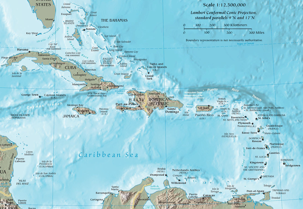
The Caribbean islands were first settled by indigenous Amerindian peoples, the Taino (also called Arawak) and the Carib. In 1492, Christopher Columbus landed in the Caribbean and claimed the region for Spain. The following year, the first Spanish settlements were established in the Caribbean. From the 1620s and 1630s onwards, privateers, pirates and settlers from England, France and the Netherlands established colonies and trading posts on the islands neglected by Spain. Over the next two centuries, Europeans set up sugar plantations and brought captive Africans to work on them as slaves. Slavery was abolished by the mid-19th century, but the islands remained under European rule. Those islands colonized by the British became part of the British Empire. Many island nations achieved their independence in the 1960s, 70s and 80s, but a few remained British possessions and are today British Overseas Territories.


Anguilla
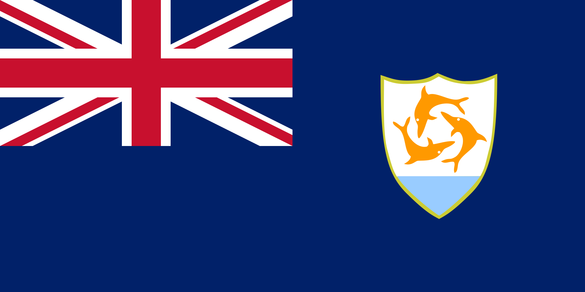
The furthest north of the Leeward Islands in the Lesser Antilles is Anguilla, a British Overseas Territory (see here for a location map). It was once grouped together with St Kitts and Nevis, until it separated from them in 1980. Most Anguillans live in the capital, named The Valley, in the middle of the island. Anguilla is largely unsuitable for farming, so Anguillans make a living by lobster fishing or from tourism. In 2017 Hurricane Irma severely damaged many of Anguilla’s resorts, along with homes and businesses.
Population 18,090
Area 91 sq km (35 sq miles)
Highest Point Crocus Hill, 73 m (240 ft)
Capital The Valley, population 1000
Language English
Religions Christian (Protestant) 73.2%, Christian (Roman Catholic) 6.8%, other 20%
Ethnicity African/black 85.3%, Hispanic 4.9%, mixed 3.8%, white 3.2%, others 3%
Currency East Caribbean dollar (XCD)
Cayman Islands
The Cayman Islands are a British Overseas Territory. The three islands, Grand Cayman, Cayman Brac and Little Cayman, were taken under British control in 1670. They are named after the caiman, a species of crocodile that lives in the islands. Neither individuals or companies pay tax in the Cayman Islands, and this has led to it becoming a popular offshore financial centre, where companies set up their headquarters in order to save money. Many Caymanians work in financial services as accountants or lawyers, and have a high standard of living. Not everyone is wealthy, however, and some live on a small income from fishing and tourism.

Population 61,944
Area 264 sq km (102 miles)
Highest point The Bluff (Cayman Brac)
50m (164 ft)
Capital George Town, population 35,000
Other major cities West Bay, pop. 11,269
Languages English, Spanish
Religions Christian (Protestant) 67.8%, Christian (Roman Catholic) 14.1%, others 18.4%
Ethnicity mixed 40%, white 20%, black 20%, others 20%
Currency Cayman Islands dollar (KYD)


Montserrat
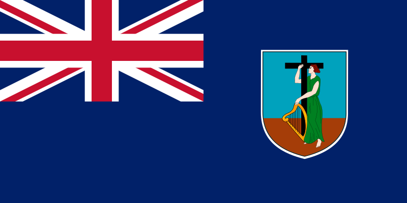
Montserrat is a volcanic island in the Leeward Islands, part of the Lesser Antilles. It is a British Overseas Territory. Two-thirds of Montserrat’s population of 12,000 fled the island in July 1995 when the Soufrière Hills Volcano began erupting. Many emigrated to the UK. The massive eruption destroyed nearly all of the capital city, Plymouth, and covered surrounding farmland and villages in ash and lava from pyroclastic flows. The volcano has been erupting ever since. An exclusion zone, covering more than half of the island, has been placed around it and no-one is allowed to enter. A new town on Montserrat’s northwestern coast, Little Bay, is being built as a new capital.
Montserratians once made a living from farming and tourism, but the eruption devastated those industries. Today, many islanders work in construction, building new homes and businesses to replace those that were lost.

Population 5373
Area 102 sq km (39 sq miles)
Highest point Soufrière Hills Volcano,
915m (3002 ft)
Capital Plymouth (official capital); Brades Estate (de facto capital)
Language English
Religions Christian (Protestant) 67%, Christian (Roman Catholic) 11.5%, others 21.5%
Ethnicity black 88.4%, mixed 3.7%, hispanic 3%, white 2.7%, East Indian 1.5%, other 0.7%
Currency East Caribbean dollar (XCD)

Turks and Caicos Islands
The Turks and Caicos Islands were once grouped with Jamaica, but became a British Colony after Jamaica’s independence from Britain in 1962, anbd were governed from the Bahamas. Following the Bahamas' independence in 1973, the Turks and Caicos acquired their own governor, and became a British Overseas Territory in 2002. The islands are low-lying cays (coral reef islands) with a mixture of marshland, mangrove swamp and white sandy beaches. Since the 1960s, they have become popular tourist destinations with nearly a million tourists visiting the islands each year, mainly on cruises from the US. In the past, islanders made a living from producing and exporting salt, as well as conch, a type of seafood which is well-known for its distinctive shell. Today, the Turks and Caicos Islands are, like the Cayman Islands, are an offshore financial centre.

Population 55,926
Area 948 sq km (366 sq miles)
Highest point Blue Hill (Providenciales) / Flamingo Hill (East Caicos) 48 m (158 ft)
Capital Cockburn Town (Grand Turk), pop. 4831
Language English
Religions Christian (Protestant) 72.8%, Christian (Roman Catholic) 11.4%, other 15.8%
Ethnicity Black 87.6%, white 7.9%, other 4.5%
Currency United States dollar (USD)
British Virgin Islands
The British Virgin Islands lie at the northern end of the Leeward island chain, to the east of Puerto Rico. Of this group of islands, 16 are inhabited, while more than 50 are uninhabited. Most Virgin Islanders live on the main island of Tortola, as well as Virgin Gorda, Anegada and Jost Van Dyke. Some islands are volcanic, with mountainous landscapes and black sands, while others are flat coral islands, ringed with white beaches. The British Virgin Islands have been under British control since 1672, and today they are a British Overseas Territory. Most of the islanders work in tourism, the island’s biggest industry. Tourists come from the USA to enjoy the islands’ hot climate and unspoilt beaches.

Population 37,381
Area 151 sq km (58 sq miles)
Highest point Mount Sage 523 m (1716 ft)
Capital Road Town, population 15,000
Language English
Religions Christian 79% (Protestant 70%, Roman Catholic 9%) Hindu 2%, others 8.5%, none 8%
Ethnicity black 76.3%, Hispanic 5.5%, white 5.4%, mixed 5.3%, Amerindian 2.1% others 5.6%
Currency United States dollar (USD)

Consultant: Nicholas Harris
pics


Without in any way limiting Q-files Ltd’s exclusive rights under copyright, any use of this publication to “train” generative artificial intelligence (AI) technologies to generate text is expressly prohibited. Q-files Ltd reserves all rights to license use of this work for generative AI training and development of machine learning language models.