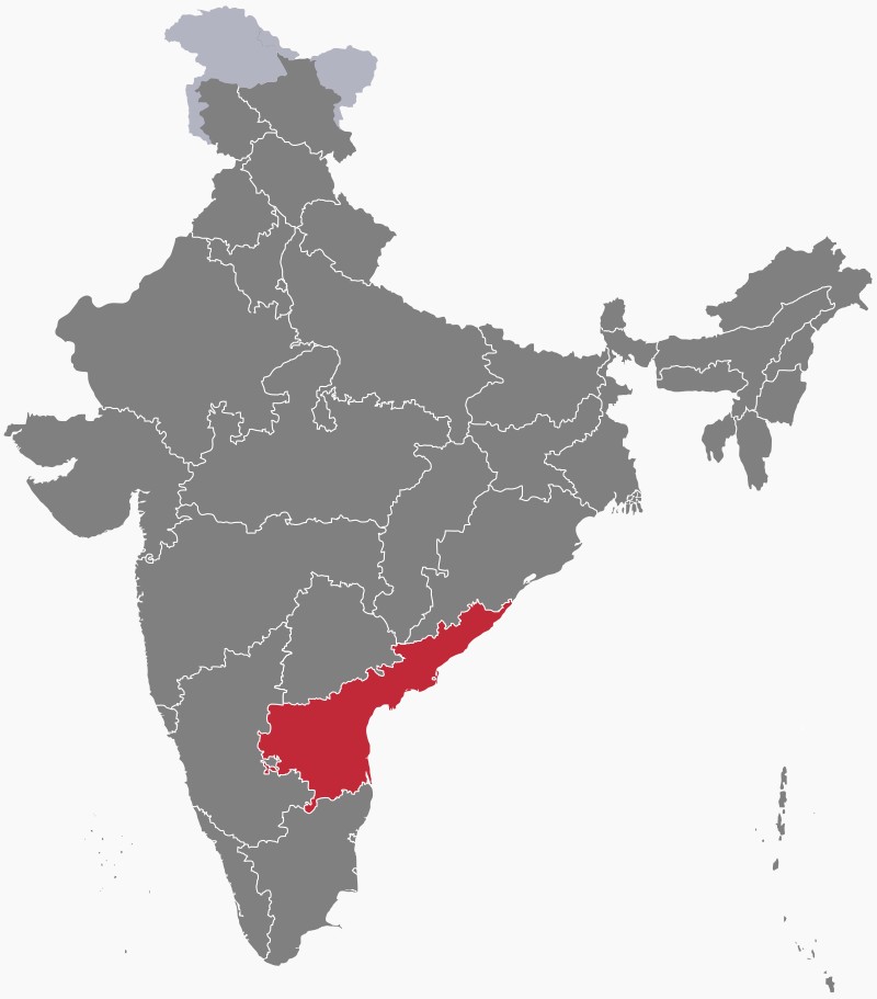
States and territories of India
Andhra Pradesh
Andhra Pradesh (AP) is a state in southeastern India. It came into existence in 1953, when the 16 northern Telugu-speaking districts of Madras State became the new state of Andhra. In 1956 Andhra was merged with the neighbouring Telugu-speaking parts of Hyderabad state to form Andhra Pradesh, with Hyderabad as its capital. The state took its present form in 2014, when the new state of Telangana, which included Hyderabad, was separated from the northwestern part of Andhra Pradesh. The new city of Amaravati became the state capital in 2017. It was announced in 2023 that Visakhapatnam (commonly known as Vizag) would be the state's executive capital, with Amaravati and Kurnool as legislative and judicial capitals respectively.
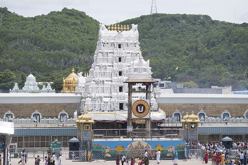
Geography
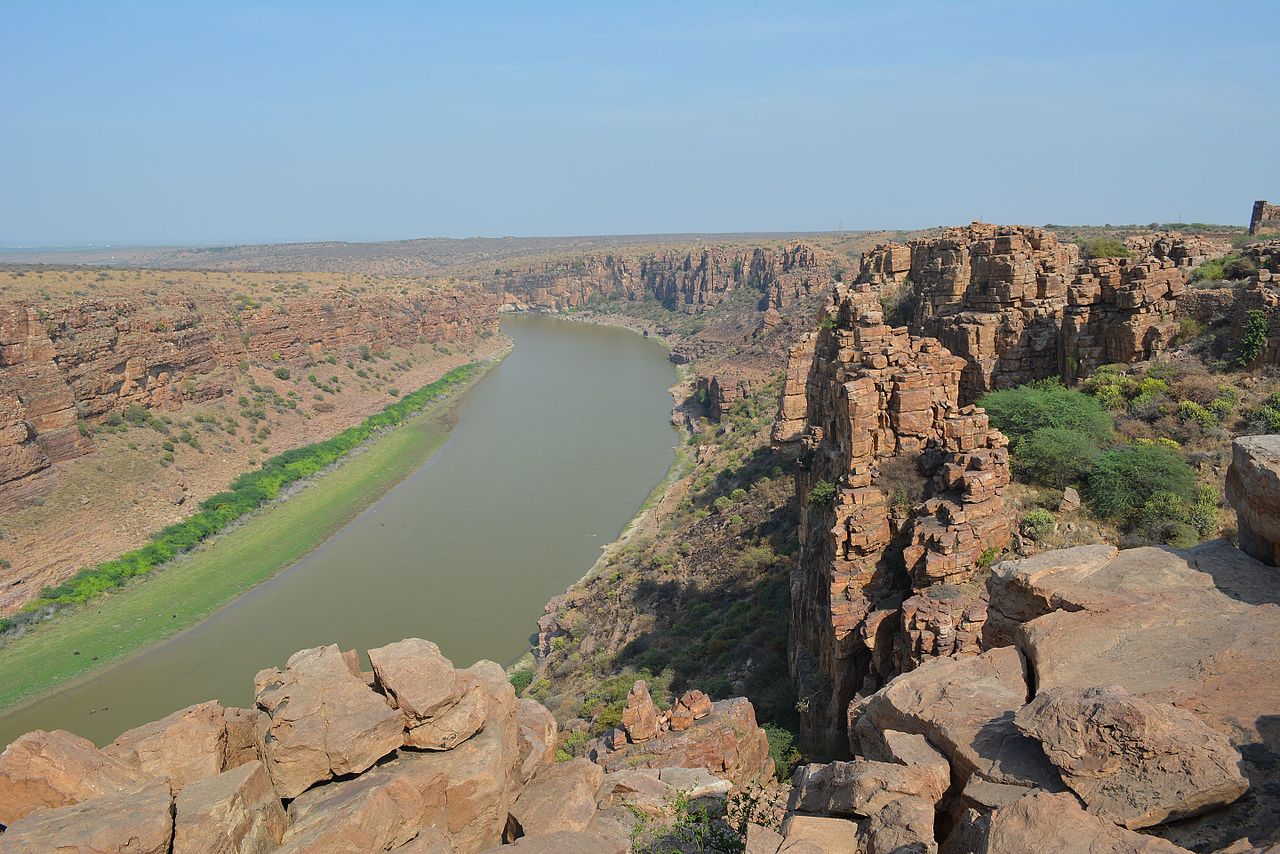
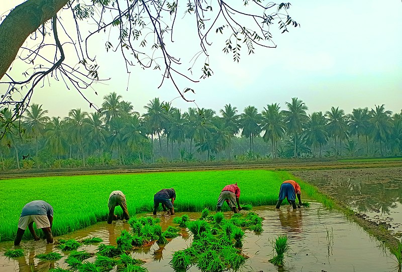
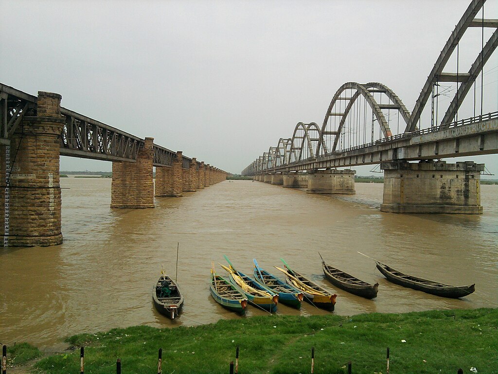
A large part of Andhra Pradesh, which has a long coastline with the Bay of Bengal, occupies the fertile plains and the delta regions formed by the Krishna, Godavari and Penna rivers. These lowland areas are intensively cultivated, mostly with rice paddies. The estuaries of the Godavari and Krishna are both lined with mangrove forests.
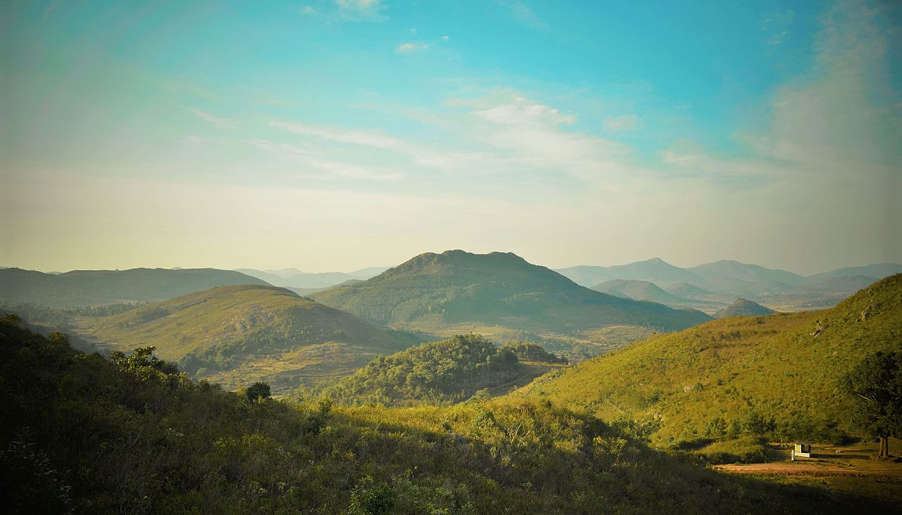
The Eastern Ghats, covered in dense tropical forest, run along the border with the states of Odisha and Telangana in the north. The Velikonda Range, an offshoot of the Eastern Ghats, curves southwards through the middle of the state as it broadens further south. This range divides the coastal plain to the east from the Rayalaseema region, a rocky plateau covered with dry scrubland, inland to the west.
Climate
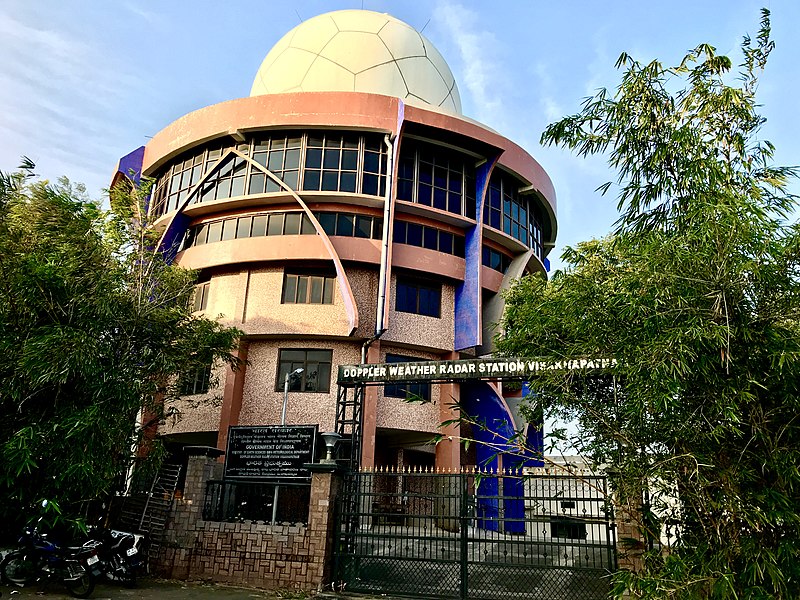
Andhra Pradesh has a tropical wet and dry climate. On the coastal plain, summers are hot with temperatures sometimes reaching 40°C (104°F). Summers last from March to June. The southwest monsoon rains occur between July and September, while the northeast monsoon brings rain to southern and coastal regions between October and December. Winters, which last from December to February, are mild with temperatures ranging from 12 to 30°C (54–86°F).
Economy
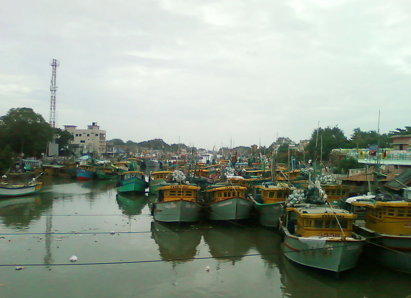
Around 60% of Andhra Pradesh's population is employed in agriculture or food production. Rice is the state's major crop and staple food. More than 70% of India's total shrimp catch takes place in Andhra Pradesh's coastal waters.

Industries include mining (the state has extensive mineral deposits), textiles, pharmaceuticals and vehicle manufacture. There are significant reserves of oil and natural gas in the state. Satish Dhawan Space Centre (SDSC), situated on the island of Sriharikota, is the primary spaceport of India's national space agency.

History
The Satavahana (Andrha) dynasty dominated the Deccan Plateau from the 1st century BCE to the 3rd century CE. At different times, their rule extended to parts of modern Gujarat, Madhya Pradesh and Karnataka as well as their core region of present-day Andhra Pradesh, Telangana and Maharashtra. The Satavahana Empire had trade relations with the Roman Empire in Europe. The later Satavahanas made Dharanikota, near present-day Amaravati, their capital.
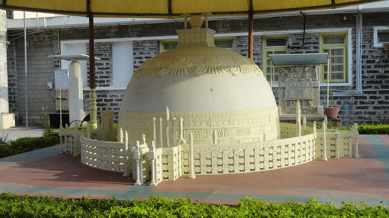
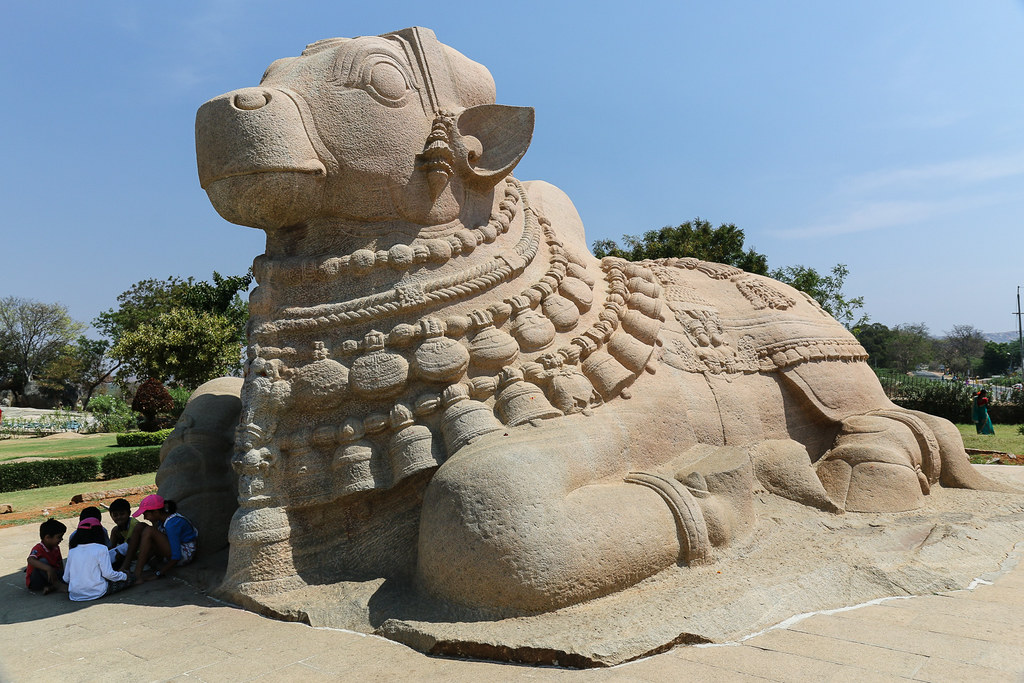
From 1206 to 1323, the Kakatiya dynasty unified the land that is today Andhra Pradesh. After their fall, the Delhi Sultanate and other kingdoms fought for control, before the Hindu Vijayanagara Empire conquered the area. The Qutb Shahi dynasty ruled the Sultanate of Golconda, one of the five Deccan sultanates, from 1512 until the Mughal emperor Aurangzeb incorporated Golconda into his empire in 1687. The Nizams of Hyderabad were appointed by the Mughals to govern the region.
In the 17th and 18th centuries, the British East India Company established trading posts on the Bay of Bengal. They were repeatedly attacked by the Mughals, the Marathas and the rulers of Golconda as well as by their European colonial rivals, the French. In 1765 the British obtained the Northern Circars, a narrow strip of territory in the present-day Indian states of Andhra Pradesh and Odisha, from Mughal emperor Shah Alam and it became part of the Madras Presidency. The region came under the rule of the British crown in 1858 until Indian independence in 1947.


Consultant: Nicholas Harris
Facts about Andhra Pradesh
Area 162,970 sq km (62,920 sq miles) Rank: 7th
Highest point Arma Konda 1680 m (5510 ft)
Population 53,586,000 Rank: 9th
Capital Amaravati pop. 103,000
Largest cities Visakhapatnam (pop. 1,728,128), Vijayawada (1,476,931), Guntur (743,354), Nellore (558,548)
Main languages Telugu (89%), Urdu (6%)
Main religions Hinduism (91%), Islam (7%)
State bird Rose-ringed parakeet
State flower Jasmine
State mammal Black buck
State tree Neem