States and territories of India
Chhattisgarh
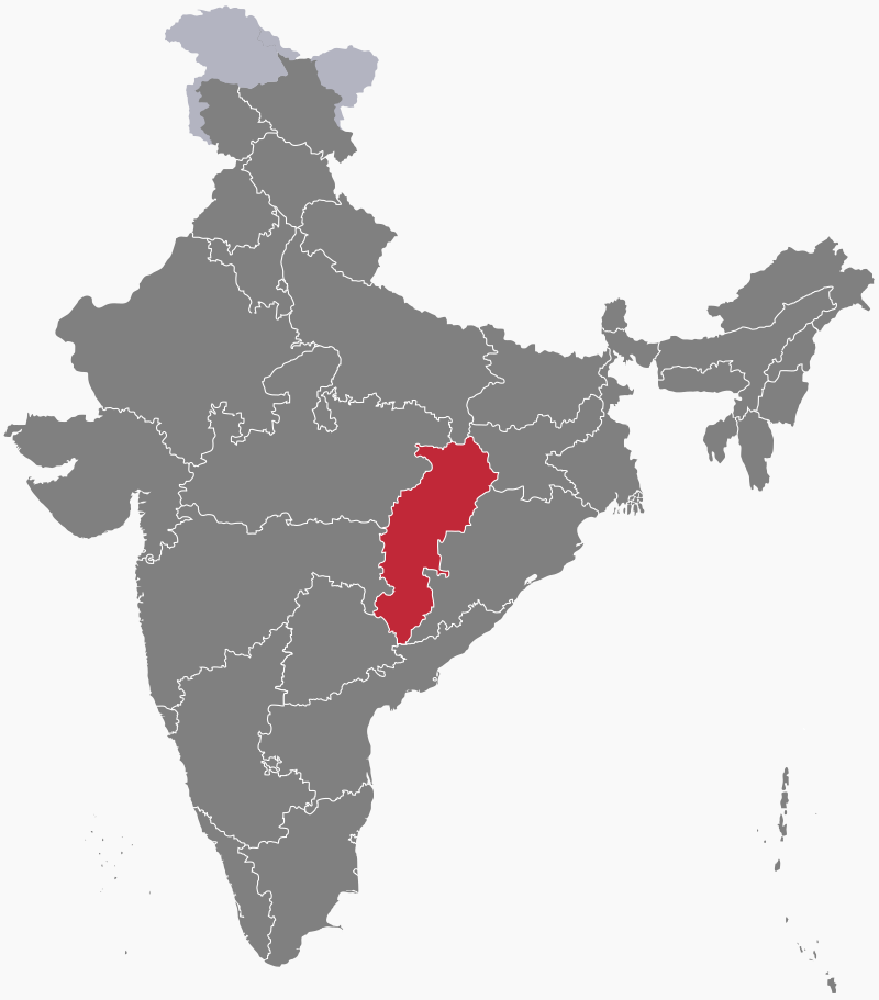
Chhattisgarh is a state in central India. The area making up the modern state was merged into Madhya Pradesh on 1st November 1956 under the States Reorganization Act. The movement for Chhattisgarh to become a separate state gathered momentum in the 1990s. Chhattisgarh was granted statehood on 1st November 2000 with Raipur as its capital and Chhattisgarhi as one of its official languages.


Geography
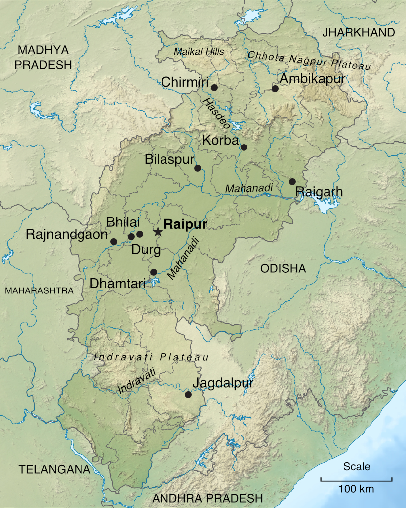
Chhattisgarh's central lowlands, an area of extensive rice cultivation known as the "rice bowl of central India", lie in the fertile upper basin of the River Mahanadi and its tributaries. The southern part of the state lies on the Deccan Plateau. To the north, the eastern end of the Satpura Range, known as the Maikal Hills, and the western edge of the Chhota Nagpur Plateau form a belt of hills that divides the Mahanadi basin from the Indo-Gangetic Plain in the far north. The uplands in northern and southern Chhattisgarh are covered by forest, making up about 40% of the state's total area.
Climate
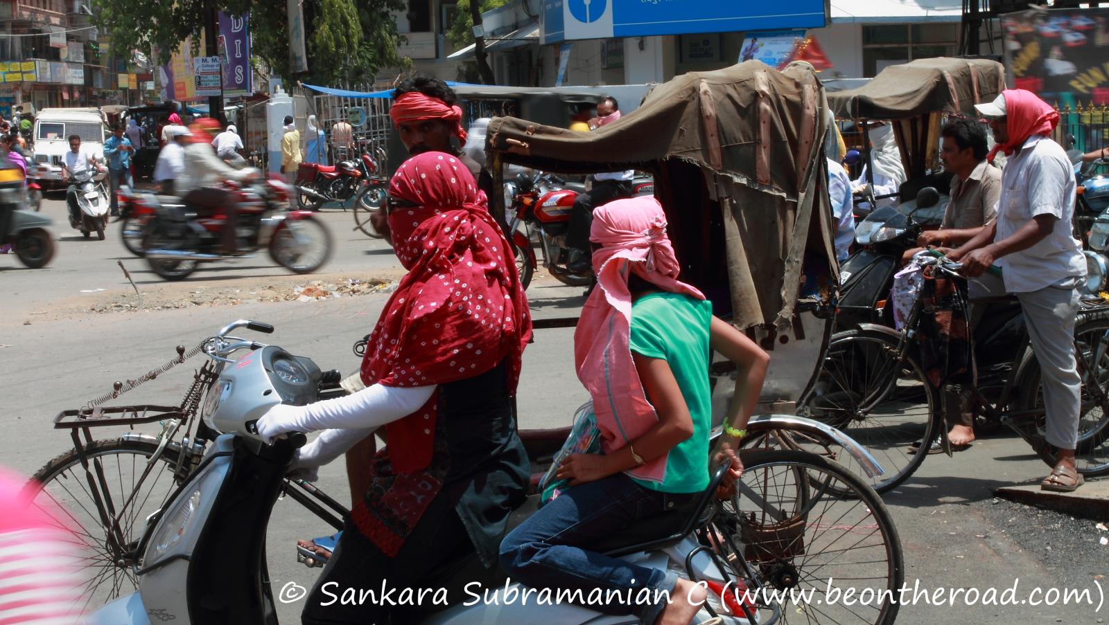
Chhattisgarh has a tropical monsoon climate. In summer, March to May, temperatures can climb up to 49°C (113°F). The southwest monsoon season, from June to September, brings substantial rainfall and cooler temperatures. The state receives an annual average of 129 centimetres (51 inches) of rain. Winter, a cooler and drier season, lasts from November to February. Temperatures can fall as low as 5°C (41°F).

Economy
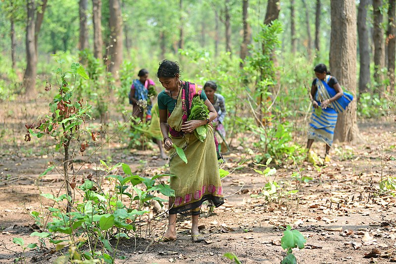
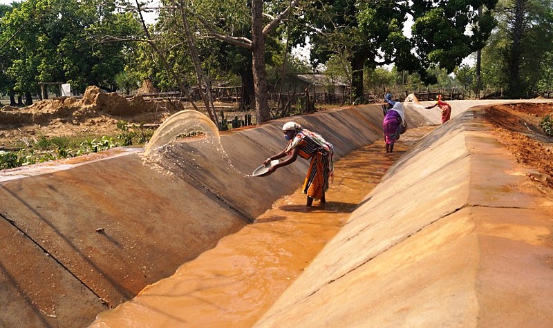
About 80% of Chhattisgarh's inhabitants work in agriculture or agriculture-based small industries. Most farmers practise traditional methods of cultivation. The main crops are rice (grown on more than three-quarters of the cultivated land), maize, kodo (a type of millet), oilseeds, soya beans and sunflowers. Only about 20% of farmland is irrigated; most of it depends simply on rain.
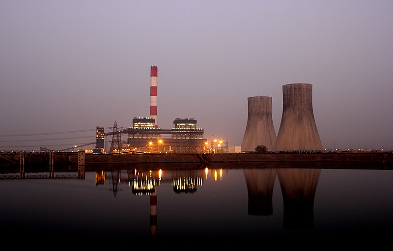
A mineral-rich state, Chhattisgarh has the second-largest coal reserves in the country. The open-cast coalmines in Korba are the largest in India. Electricity from the state's coal-fired power stations is exported to the rest of the nation. Chhattisgarh's steel production, centred on Bhilai, Bilaspur, Korba and Raigarh, is one of its major industries. The state produces 50% of the country's cement. It is also ranked first in tin production, third in iron ore.

History
Much of Chhattisgarh was once the Haihaiyavanshi Kingdom, ruled by the Kalachuris of Raipur, from the 11th century until its conquest by the Marathas in the 1740s. Surrounded by mountain ranges, the kingdom remained unaffected by the Muslim invasions of the 13th-16th centuries. It became a vassal state the Mughal Empire in the 17th century.
The region came under British rule from 1845 as the Chhattisgarh Division of the Central Provinces (from 1936, Central Provinces and Berar). Raipur gained prominence over Ratanpur (Ratnapura), the historical capital. Following Indian independence in 1947, Chhattisgarh was merged with Madhya Pradesh. It became a separate state in 2000.
Consultant: Nicholas Harris
Facts about Chhattisgarh
Area 135,192 sq km (52,198 sq miles) Rank: 9th
Highest point Unnamed peak in the Bailadila Range 1276 m (4186 ft)
Population 30,982,000 Rank: 18th
Capital and largest city Raipur pop. 1,010,087
Other large cities Bhilai-Durg (pop. 1,003,406), Bilaspur (717,030), Korba (365,253), Ambikapur (214,575)
Main languages Chhattisgarhi (62%), Hindi (11%), Surgujia (7%), Gondi (4%)
Main religions Hinduism (93%), Islam (2%), Christianity (2%)
State bird Common hill myna
State flower French marigold
State mammal Wild water buffalo
State tree Sal