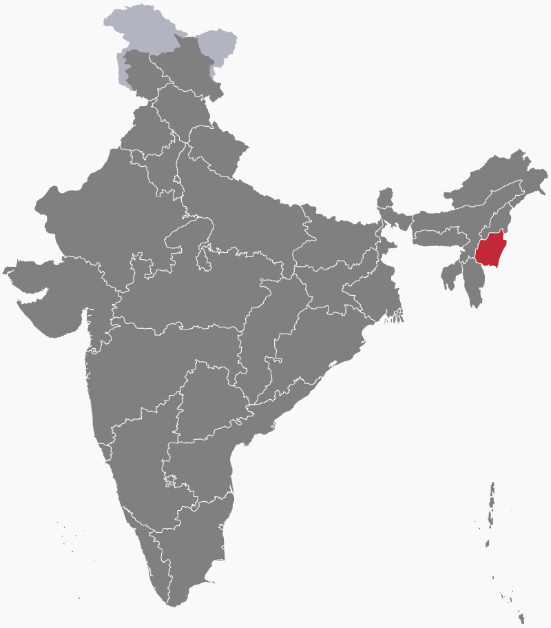
States and territories of India
Manipur
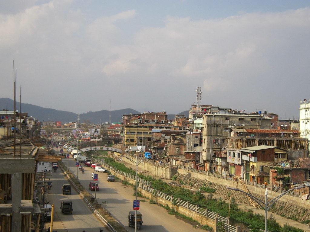
Manipur is a state in northeast India. It contains a wide central valley, the Manipur Basin or Imphal Valley, which is surrounded by hills and mountain ranges. At 2994 metres (9823 feet) above sea level, the highest point is Mount Tempü, on the border with Nagaland. Lying at 790 metres (2600 feet) above sea level, the Imphal Valley contains a large lake, Loktak Pat, and the state capital, Imphal. The uplands prevent cold winds from the north from reaching the Valley, giving it a temperate climate. To the west, the River Barak cuts through the hills into Assam, eventually joining the River Meghna in Bangladesh, which flows into the Ganges Delta.

History
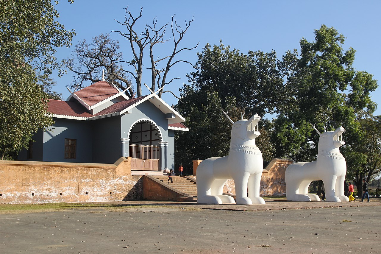
The Kingdom of Manipur (its name means "Land of Jewels") gained power in the Middle Ages. The monarchs of the Meitei dynasty ruled from their palace, Kangla Fort, in what is today Imphal. In 1891, during the British Raj, Manipur became a princely state. Following independence, the kingdom acceded to India in 1949. Manipur became a union territory in 1956 and a state in 1972. The accession was disputed by some Manipuris, resulting in long campaign for independence from India. There have since been episodes of violence among ethnic groups in the state, including clashes in 2023 between the Meitei and Kuki populations.
People
The Meitei (or Manipuri) people make up around 53% of the state's population. Forming the great majority of Imphal Valley's residents, they are mostly Hindus. The rest of Manipur's inhabitants, who mostly live in the surrounding hills, belong to various tribes, of which the Naga and Kuki are the largest groups, and are largely Christian. The official and most widely spoken language is Meitei or Manipuri. Some communities also speak one of a number of Tibeto-Burman languages.
Economy
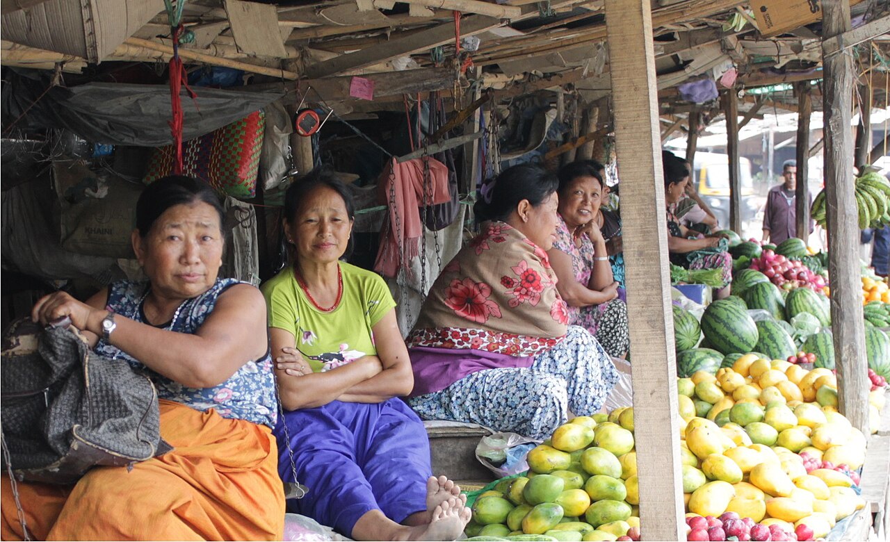
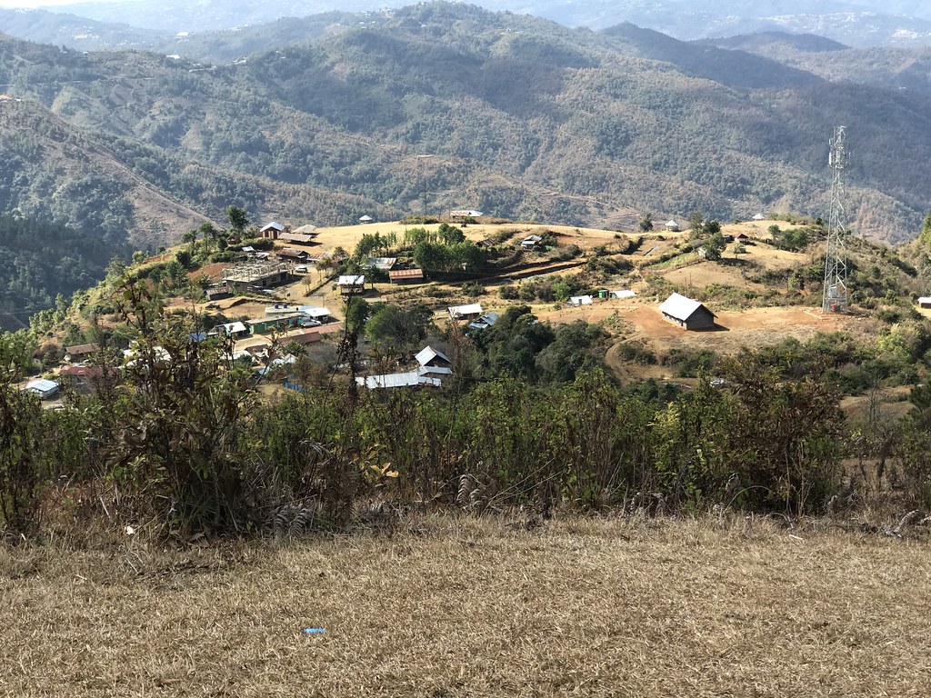
Agriculture and forestry are the Manipur's main economic activities. Rice is the most important crop, and maize, sugar cane, mustard, orchard fruits and pulses are also grown in Imphal Valley's fertile soils. Terracing is common in the hills. People working in cottage industries produce cloth using hand looms.

Consultant: Nicholas Harris
Facts about Manipur
Area 22,327 sq km (8621 sq miles) Rank: 23rd
Highest point Mount Tempü 2994 m (9823 ft)
Population 3,289,000 Rank: 23rd
Capital and largest city Imphal (pop. 277,196)
Main languages Meitei (53%), Thadou (9%), Tangkhul (6%), Poula (5%)
Main religions Hinduism (41%), Christianity (41%), Islam (8%)
State bird Nongin (Mrs Hume's pheasant)
State flower Shirui lily
State mammal Sangai (a deer)
State tree Uningthou