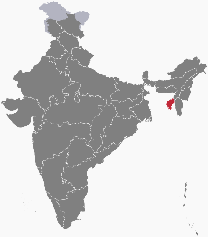
States and territories of India
Tripura
Tripura is a state in northeast India. The area was once part of the Tripuri Kingdom, ruled for several centuries by the Manikya dynasty. In the 15th century, their rule extended across much of Bengal, Assam and Myanmar. Under British colonial rule, Tripura, then known as Hill Tippera, became a princely state. Following Indian independence it acceded to India in 1949, becoming a union territory in 1956 and a state in 1972.
People
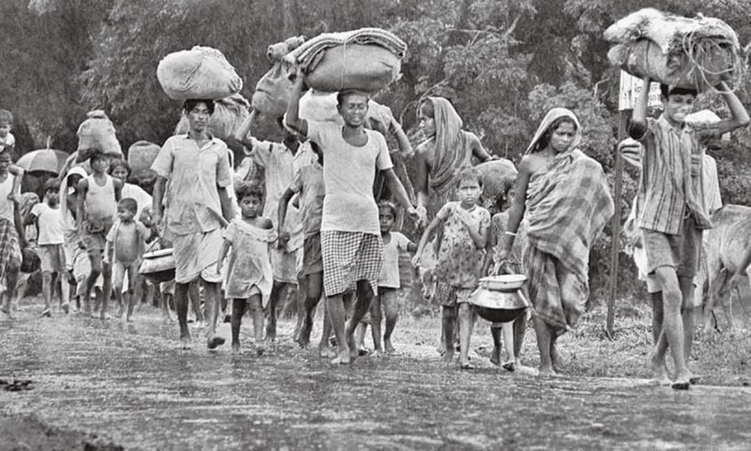
After the partition of India, which began in 1947, hundreds of thousands of Bengali Hindus poured into Tripura as refugees fleeing religious persecution in East Pakistan—especially after 1949. A second phase of migration took place during the Bangladesh War of Independence in 1971, when more than a million refugees fled to Tripura.
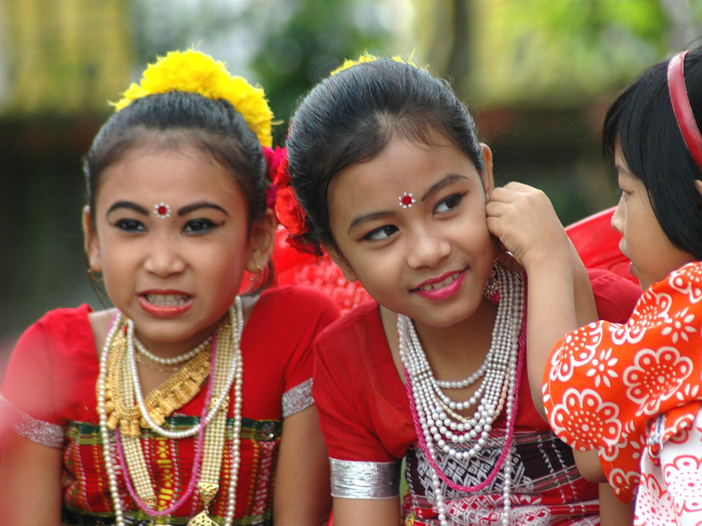
As a result of these migrations, Bengalis now make up almost 70% of Tripura's population, with the native Tripuri tribal population (consisting of 19 different communities) reduced to around 30%. More than half of them belong to the Kokborok-speaking group. Hinduism is the majority religion in the state, followed by 83% of the population.
Economy
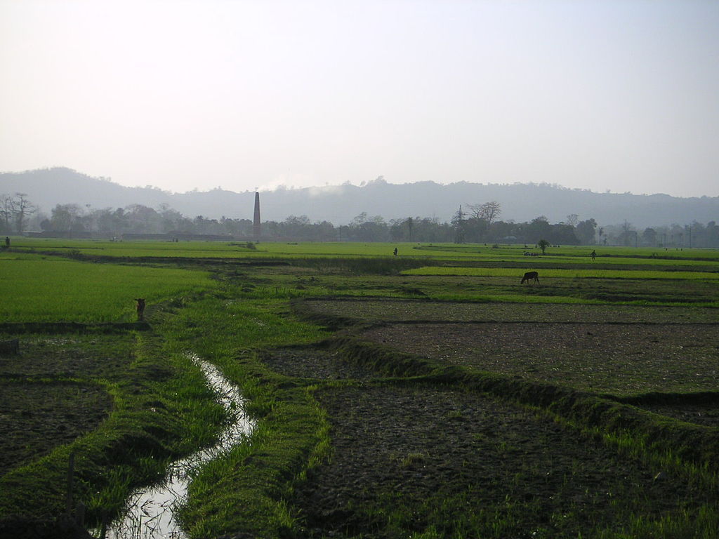
More than half Tripura's population farms for a living, although only just over a quarter of the land is cultivated. Rice is by far the most important food crop. Potatoes, sugar cane, tea, jute and fruits are the major cash crops. Traditionally, most of the tribal population practise jhum (shifting cultivation), but this has decllned in recent years.
Bricks and tea production are Tripura's only large-scale industries. Cottage industries, such as weaving and bamboo products, are widespread. The state has, however, made use of its natural gas resources by building two thermal power stations, enabling it to achieve surplus electricity production capacity.
Geography
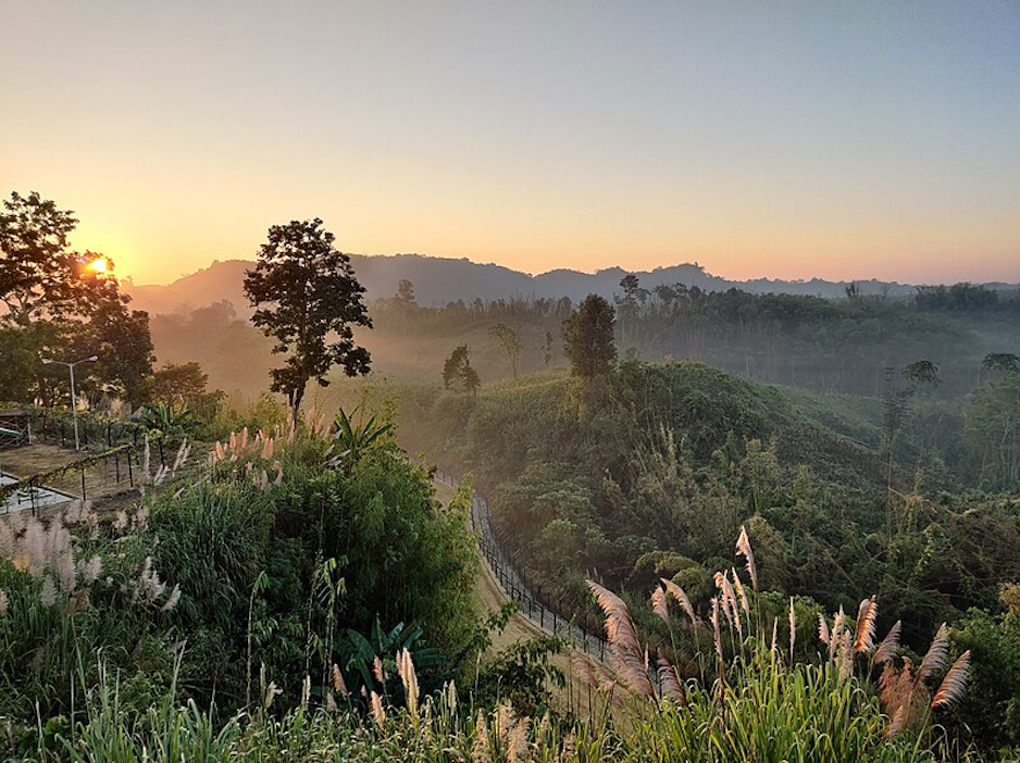
Five mountain ranges and four major valleys run north-south through the state of Tripura. The Jampui Range on the eastern border with Mizoram rises to 930 metres (3050 feet) at its highest point, the peak named Betlingchhip (Thaidawr). Forest covers around 60% of the state.
A number of rivers originate in the hills of Tripura and flow into Bangladesh. They include the Khowai, which flows towards the north, and the Gomati, which flows westwards.
Bangladesh borders Tripura on three sides and only one major road—vulnerable to landslides—connects the state directly to the rest of India.

Consultant: Nicholas Harris
Facts about Tripura
Area 10,491 sq km (4051 sq miles) Rank: 28th
Highest point Betlingchhip (Thaidawr) 930 m (3050 ft)
Population 4,232,000 Rank: 21st
Capital and largest city Agartala (pop. 578,577)
Main languages Bengali (63%), Kokborok (or Tripuri, 26%)
Main religions Hinduism (83%), Islam (9%), Christianity (4%)
State bird Green imperial pigeon
State flower Indian rose chestnut
State mammal Phayre's leaf monkey
State tree Agarwood