States and territories of India
Uttarakhand
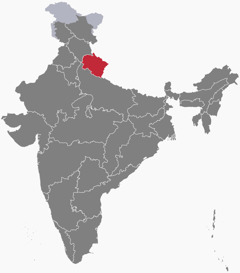
Uttarakhand ("Northern Land"), previously known as Uttaranchal, is a state in northern India. Much of Uttarakhand lies in the Himalayas, with just a narrow portion of the Indo-Gangetic Plain in the south near its border with Uttar Pradesh. The state encompasses two historic regions: Kumaon in the east and Garhwal in the west. Uttarakhand's winter capital and largest city is Dehradun. Since 5th March 2020, the town of Bhararisain, which lies at 2390 metres (7840 feet), has been the summer capital.
Geography
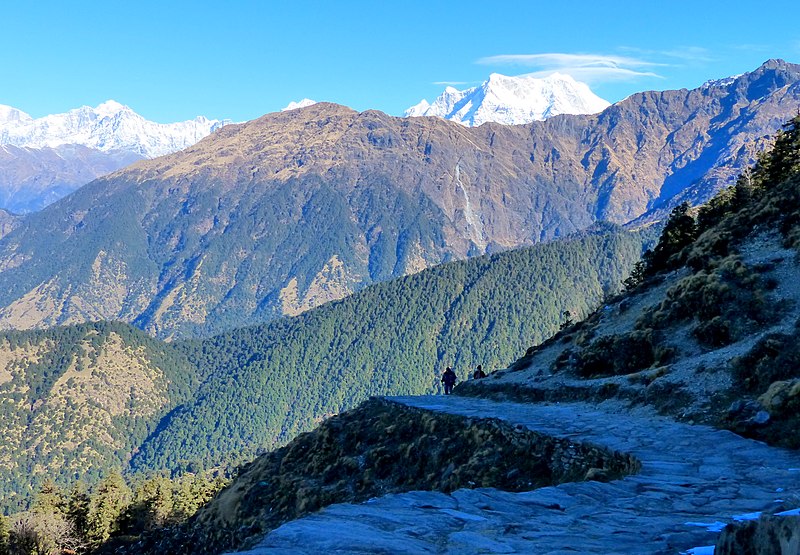
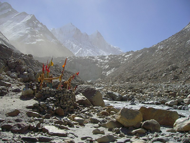
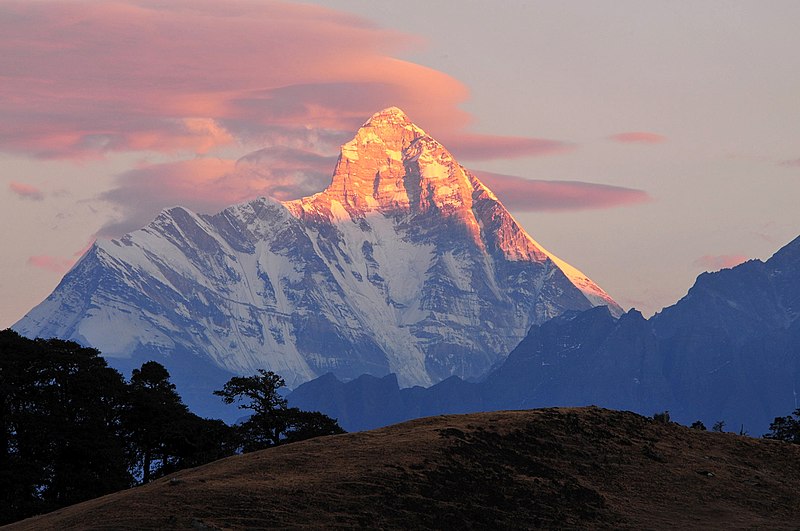
The Himalayas of Uttarakhand can be split into three zones: the Himadri or Great Himalayas, in the north, containing the high peaks and glaciers. Some of the world's highest mountains, including Nanda Devi (7817 metres or 25,646 feet), India's second highest peak, Kamet (7756 metres or 25,446 feet) and Badrinath (7138 metres or 23,420 feet), are located here. Two of India's greatest rivers, the Ganges and the Yamuna, begin their journeys in the glaciers of Uttarakhand.
The second mountainous zone runs to the south of the Great Himalayas: the Himachal or Lesser Himalayas. Here, elevations are roughly between 2000 and 3000 metres (about 6500–10,000 feet). The third zone, the foothills of the Himalayas, known as the Sivalik Range, lie to the south of the Lesser Himalayas. They descend to the Indo-Gangetic Plain along the Uttar Pradesh border.

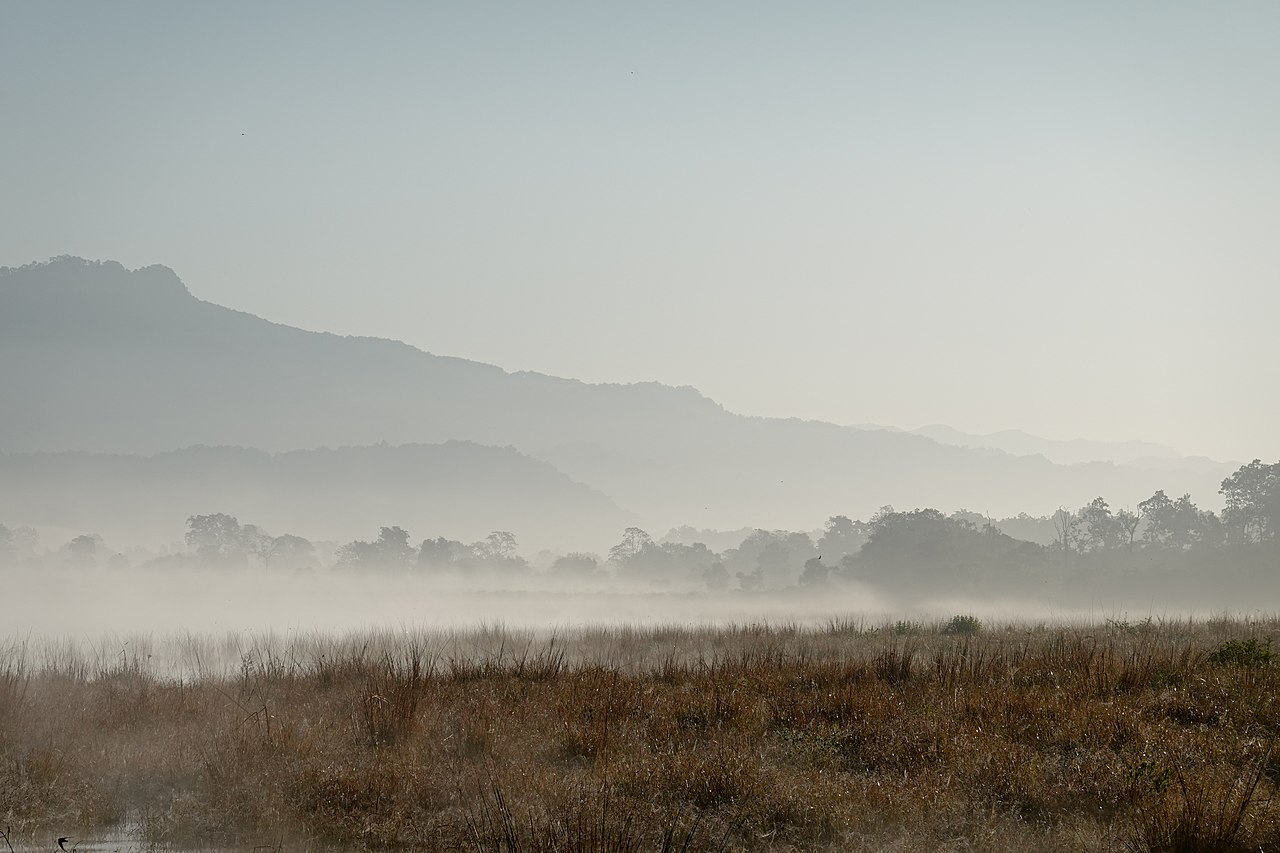
At the highest elevations of the Himalayas there is only ice or bare rock, while on lower slopes alpine meadows, conifer forests, temperate broadleaf forests grow. A belt of moist deciduous forest, locally known as the Bhabar, occupies the alluvial "apron" of sediments washed down by mountain rivers and streams. Much of this forest has been cleared for agriculture. South of the Bhabar is a region of tall grassland, scrub savannah, sal forest and swamp. Known as the Terai, it occupies the lowland plains along the Uttar Pradesh border.

Climate
Uttarakhand's climate varies according to height above sea level. In the foothills of the Himalayas, the average summer (March to June) temperatures range between 18 and 30°C (64–86°F) and winters (October to February) are mild. In the Himachal, summer temperatures are rarely higher than 18°C (64°F) while winter temperatures may drop below freezing. The higher altitudes of the Himalayas are cold throughout the year and receive heavy snowfall.
On the southern plains, summers are hot and humid with daytime temperatures regularly climbing above 40°C (104°F). Winter temperatures are mild but may dip below 5°C (40°F) at times.
The state receives an annual average precipitation of around 150 centimetres (60 inches), most of it brought by the southwest monsoon between July and September.
Economy
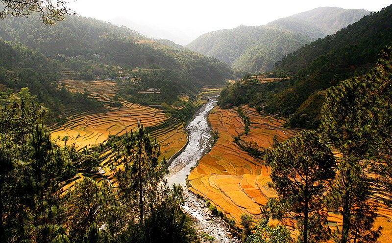

Around 60% of the Uttarakhand's population works in agriculture (although less than 20% of the land is cultivable). Wheat is the largest crop. Rice, millet, soya beans, groundnuts, pulses and oil seeds are the next most widely grown crops, along with a variety of fruits and vegetables. Sugar cane is the main cash crop of the state. Herding goats and sheep is common in the mountains.
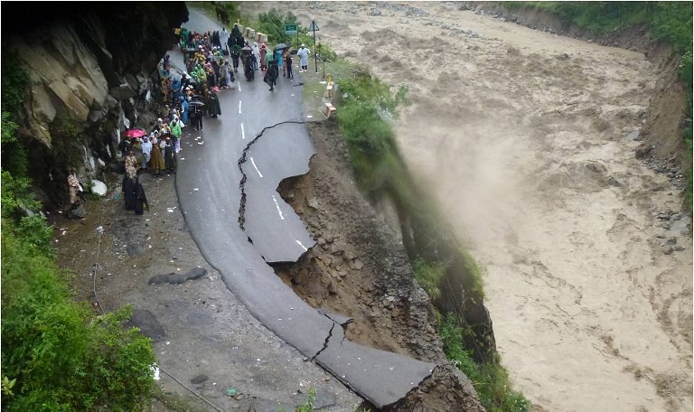
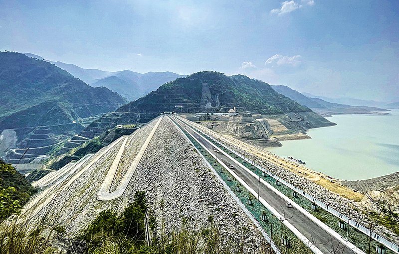
Food processing, paper and wood products and textiles are among the state's main manufacturing industries, while information technology is developing fast. Dozens of hydropower construction projects are being developed in the state, but experts fear the presence of huge dams and large reservoirs increases the risk of devastating flash floods to local residents.
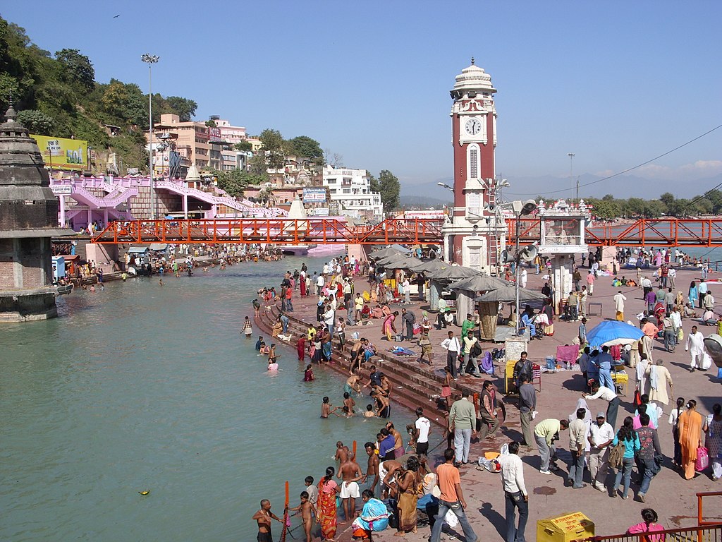
Tourism is a key service industry in the state. Uttarakhand's many ancient temples, pilgrimage sites, forest reserves, national parks (including Jim Corbett National Park, the oldest national park on the Indian subcontinent), wildlife sanctuaries, hill stations and mountain peaks draw a large number of visitors. The state has always been a destination for mountaineers, rock climbers, hikers and adventure sports enthusiasts.
History

Around 700 CE, the Katyuri dynasty began their rule of the Kumaon, known to them as Kurmanchal. At its peak, their kingdom extended from Nepal in the east to Kabul, Afghanistan, in the west. Kings of the Chand dynasty began their rule of Kumaon in the 11th century. Meanwhile, to the west, the Garwhal kingdom was founded by Kanak Pal in the 7th century. His Panwar dynasty ruled the kingdom uninterrupted until the early 19th century.
In 1791, the Gurkha Empire of Nepal conquered Almora, the Kumaon capital. The Garhwal kingdom fell to the Gurkhas in 1803. Following the Anglo-Nepalese War, the entire region was ceded to the British as part of the Treaty of Sugauli in 1816. It was then merged with Delhi and most of Uttar Pradesh to form what was called the Ceded and Conquered Provinces (later, the North-Western Provinces). Meanwhile, a part of Garhwal was established as a princely state.

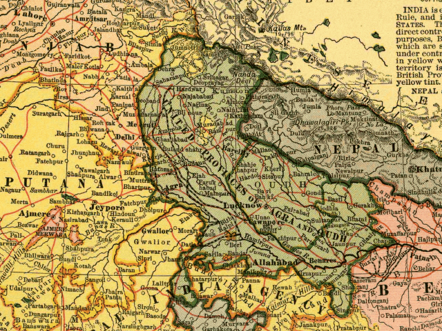
After India gained independence from Britain in 1947, Garhwal was merged with the North-Western Provinces to form the state of Uttar Pradesh. In the 1990s, the movement to demand separate statehood for Uttarakhand gained widespread support in both Garhwal and Kumaon divisions. This led to the formation of the new state on 9th November 2000. It was called Uttaranchal until 2007, when Uttarakhand (already used widely by the inhabitants) became the official name.

Consultant: Nicholas Harris
Facts about Uttarakhand
Area 53,483 sq km (20,650 sq miles) Rank: 19th
Highest point Nanda Devi 7816 m (25,643 ft)
Population 11,913,000 Rank: 19th
Capital and largest city Dehradun (pop. 714,223) Bhararisain is the summer capital
Other large cities Haridwar (pop. 310,562), Roorkee (273,502), Haldwani (232,060), Rudrapur (154,485), Kashipur (121,610), Rishikesh (102,138)
Main languages Hindi (43%), Garhwali (23%), Kumaoni (20%), Urdu (4%), Punjabi (3%)
Main religions Hinduism (83%), Islam (14%), Sikhism (2%)
State bird Himalayan monal
State flower Brahma Kamal
State mammal Alpine musk deer
State tree Burans