
Africa

CITE
We have made every effort to follow citation style rules, but there may be some minor differences. If in doubt, please refer to the appropriate citation style manual.
Niger. (2026). In Q-files Encyclopedia, Geography, Africa. Retrieved from
https://www.q-files.com/geography/africa/niger
"Niger." Geography, Africa, Q-files Encyclopedia, 30 Mar. 2026.
https://www.q-files.com/geography/africa/niger.
Accessed 6 Aug. 2026.
Niger 2026. Geography, Africa. Retrieved 6 August 2026, from
https://www.q-files.com/geography/africa/niger
Geography, Africa, s.v. "Niger," accessed August 6, 2026.
https://www.q-files.com/geography/africa/niger


Niger
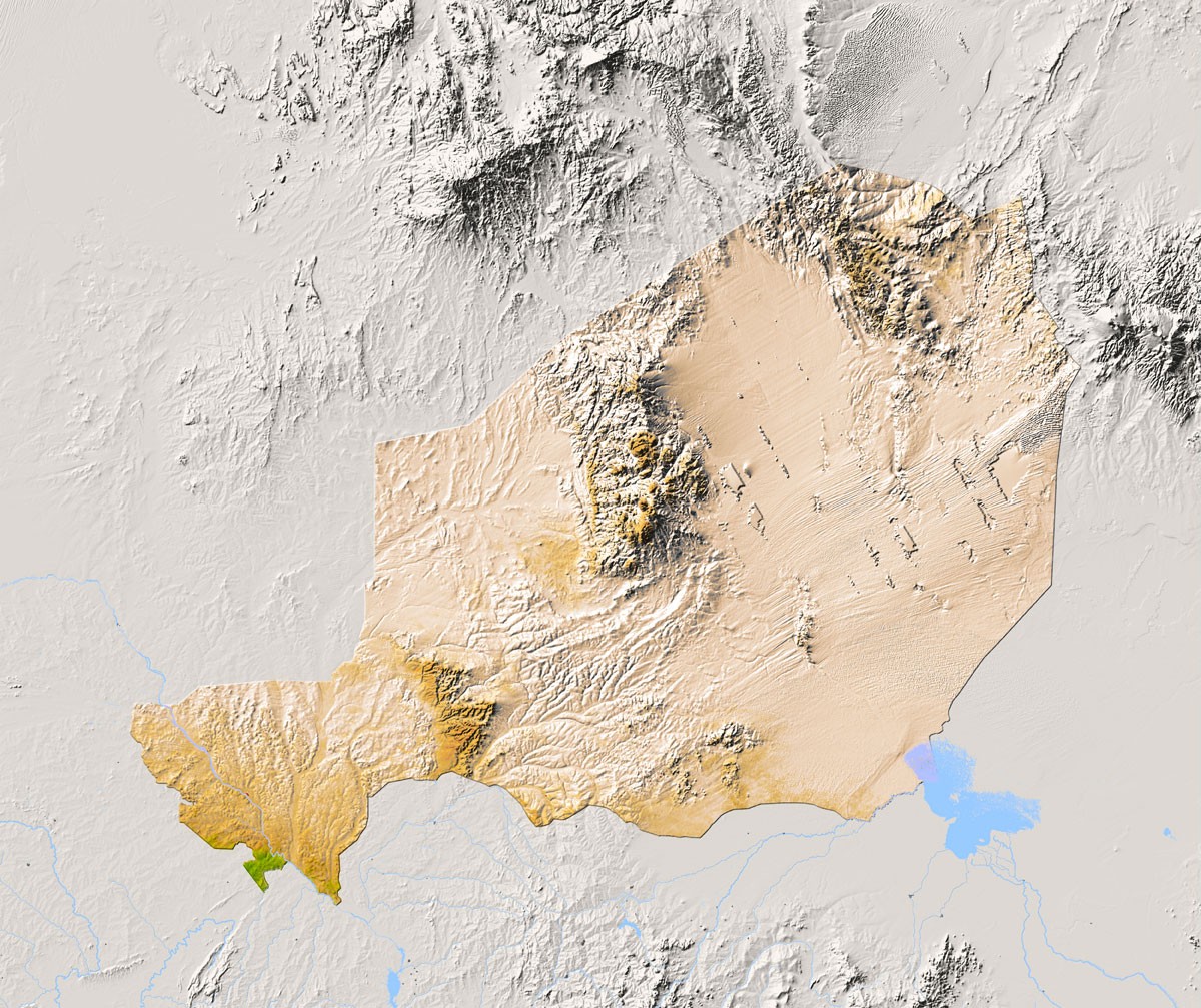
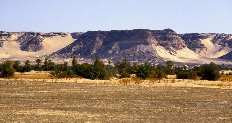
The barren Sahara Desert covers most of northern and central Niger (pronounced Nee-ZHAIR). In the centre of the country, the Aïr Mountains rise steeply from the flat desert. In the north are the rounded highlands of the Djado Plateau. Between these two highland regions stretch thousands of kilometres of hot, empty sand dunes. Known as the Ténéré, this region is one of the harshest places on Earth. In southern Niger is a narrow belt of dry grassland—part of the Sahel—where nearly all the country’s people live. The country’s best farmland is found on the banks of the River Niger, in the southwest. Most of Niger has an extremely hot, desert or semi-desert climate. Temperatures regularly soar above 38°C (100°F).

People
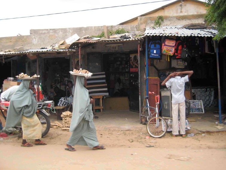
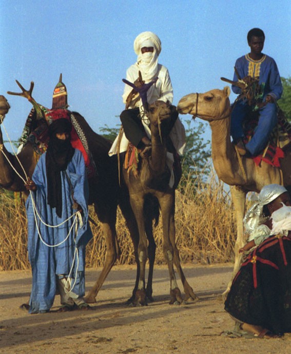
Niger is one of the poorest and least-developed countries in the world. Over half of its people have no access to clean, safe water, and many children work in uranium mines or on farms instead of going to school. Just one in three people can read and write. The official language spoken in government and schools is French, but most people speak the language of their ethnic group—such as Hausa, Djerma and Tamasheq—to one another. The largest group are the Hausa; others include the Songhai, Fulani and Kanuri. The Tuareg, a nomadic northern people, are a Berber people. Most people are Muslim.
Farming
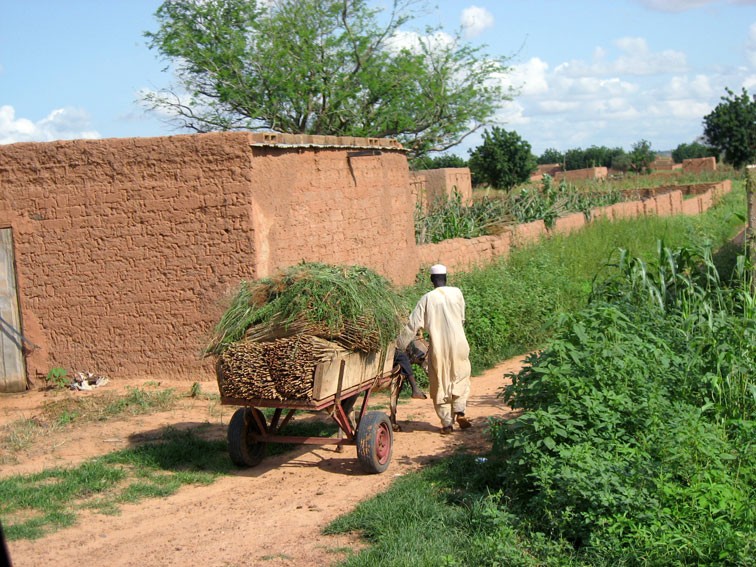
Only about 3% of Niger’s land is suitable for farming, most of it bordering the river Niger in the southwest. The river floods every year, covering the land with a layer of rich, fertile mud. Farmers grow cereals here, such as rice, millet and sorghum, as well as peanuts and cassava. Millet is pounded into flour before being made into Niger’s staple food, a type of stiff porridge. In the towns, many people work in small factories, processing foods such as sugar, peanuts and flour.

Minerals
Niger’s has some of the world’s largest deposits of uranium, found in the Aïr Mountains. Uranium is the fuel used in nuclear power power stations. The country also has reserves of gold, iron, tin and limestone (used for making cement). In 2012 oil production began in the southern city of Zinder. The mining industry is vital to Niger, accounting for 40% of the value if its exports.
Droughts
Since the 1960s, Niger has experienced severe droughts. Less and less rainfall has been falling, causing farm animals and crops to die. This has led to several famines (extreme food shortages). The worst recent droughts were in 2005 and 2009. Many nomadic farmers, such as the Tuareg people, have had to give up their traditional nomadic lifestyle because it is too hot and dry in the desert to herd their animals. They have been forced to move southwards to live and work in Niger's towns and cities.

Consultant: Nicholas Harris
Facts about Niger
Population 26,342,784 (2024 estimate)
Area 1,266,700 sq km
Highest point Idoukal-n-Taghes 2022 m (6634 ft)
Capital Niamey, population 1,334,984
Other major cities Maradi (pop. 267,249), Zinder (170,575)
Languages French, Hausa, Djerma, other indigenous languages
Religions Muslim 91%, others (including Christian and indigenous beliefs) 1%
Ethnicity Hausa 55%, Djerma 21%, Tuareg 9%, Fulani 8%, Kanouri 5%, others 12%
Currency West African CFA franc (XOF)
Chief exports uranium ore, cattle, cowpeas, onions
History of Niger
2000 BC
Sahara Desert, once a grassland suitable for grazing livestock, dries out; the harsh conditions begin to push settlements and animals further south
200s
The Berber people introduce domesticated camels to the region
1300
The region is an important link on trade routes across the Sahara
1400s
Southern Hausa states form a powerful medieval kingdom, trading with gold-producing states further south
1380–1893
Southern and eastern parts of Niger form part of the powerful Bornu Empire
1890
French invade and occupy Niger
1946
Niger officially becomes part of France and its people French citizens
1960
Niger becomes independent from France with Hamani Diori as its president
1968–73
Severe drought devastates Niger’s livestock and caused widespread crop failure
1974
Hamani Diori is removed from power in a military coup
1990
Tuareg people in the north of the country rebel, calling for their own state
1997
Tuareg rebels sign peace agreement with the government
2001
Niger bans hunting to try and save its wildlife
2010
10 million people suffer food shortages
2010
Military takeover of the government of Niger by General Salou Djibo
2012
Thousands of refugees from violence in Mali arrive in Niger
2014
Niger falls to the bottom of the United Nations' rankings measuring development of the world’s countries
2023
In a coup, President Mohamed Bazoum, who assumed office in 2021 after winning the presidential election of that year, is removed from power by the military. Brigade General Abdourahamane Tchiani proclaims himself leader. It is the fifth military coup since the country gained independence from France in 1960, and the first since 2010.
pics

Without in any way limiting Q-files Ltd’s exclusive rights under copyright, any use of this publication to “train” generative artificial intelligence (AI) technologies to generate text is expressly prohibited. Q-files Ltd reserves all rights to license use of this work for generative AI training and development of machine learning language models.